Satellite image of Tropical Storm Enteng (international name Yagi) Tropical Storm “Enteng” (international name “Yagi”) has regained strength from the warm waters west of Ilocos Norte and is currently enhancing the effects of the southwest monsoon (habagat), the Philippine Atmospheric,...
Tropical Storm “Enteng” (international name “Yagi”) accelerated while crossing northern Luzon and moved over the West Philippine Sea early Tuesday morning, Sept. 3, the Philippine Atmospheric, Geophysical and Astronomical Services Administration (PAGASA) said in its latest bulletin. As of 5...
Tropical Storm “Enteng” (international name “Yagi”) further intensified before making landfall in Casiguran, Aurora Monday afternoon, Sept. 2, said the Philippine Atmospheric, Geophysical and Astronomical Services Administration (PAGASA). PAGASA said the storm made landfall at 2 p.m. while...
The water level at La Mesa Dam in Quezon City rose to 80.02 meters at 2 p.m. on Monday, Sept. 2, just 0.13 meters short of the dam’s spilling level of 80.15 meters. The Philippine Atmospheric, Geophysical and Astronomical Services Administration (PAGASA) said La Mesa Dam’s water level is...
Two major dams in Luzon are set to release water on Monday, Sept. 2, due to ongoing rains affecting the watersheds, said the Philippine Atmospheric, Geophysical and Astronomical Services Administration (PAGASA). During a press conference, PAGASA Hydrologist Rosalie Pagulayan said that Ipo Dam in...
Satellite image of Tropical Storm Enteng (international name: Yagi) A slightly stronger and slower Tropical Storm “Enteng” (international name “Yagi”) continues to move across the coastal waters of Camarines Norte, with landfall still possible over Isabela or Cagayan on Monday afternoon or...
Satellite image of Tropical Storm Enteng (international name: Yagi) The Philippine Atmospheric, Geophysical and Astronomical Services Administration (PAGASA) raised Tropical Cyclone Wind Signal No. 2 as "Enteng" (international name: Yagi) intensified into a tropical storm late Sunday evening, Sept....
Satellite image of Tropical Depression Enteng (PAGASA) Tropical depression “Enteng” continues to approach Bicol Region and is about to make landfall or pass very close to Catanduanes, the Philippine Atmospheric, Geophysical and Astronomical Services Administration (PAGASA) said in its 8 p.m....
Satellite image of Tropical Depression Enteng (PAGASA) There is now a high chance that Tropical Depression “Enteng” may make landfall over Catanduanes or Albay within the next 12 hours, the Philippine Atmospheric, Geophysical and Astronomical Services Administration (PAGASA) said on Sunday...
4 a.m., Sept. 4 Severe Tropical Storm Enteng left the country’s area of responsibility. In its 5 a.m. bulletin, PAGASA said the center of Enteng was located 265 kilometers west-northwest of Laoag City, Ilocos Norte. 5 p.m., Sept. 3 PAGASA said Enteng was located 165 kilometers west-northwest of...
Satellite image of Tropical Depression Enteng (PAGASA) The Philippine Atmospheric, Geophysical and Astronomical Services Administration (PAGASA) raised Wind Signal No. 1 in at least 10 areas in Luzon and Visayas as of Sunday, Sept. 1 due to the development of a tropical depression named...
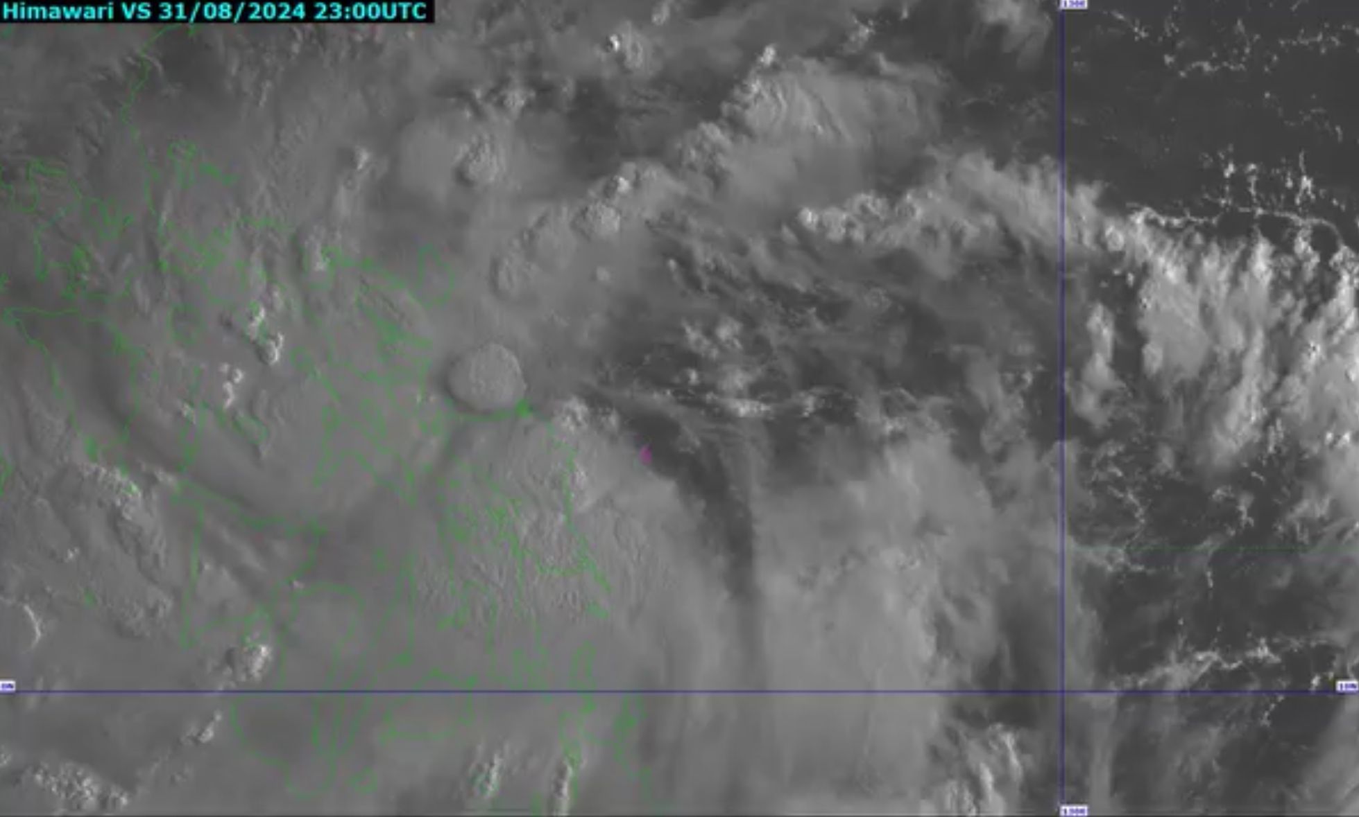
Satellite image of Tropical Depression Enteng (PAGASA) The Philippine Atmospheric, Geophysical and Astronomical Services Administration (PAGASA) reported that the Low Pressure Area (LPA) east of Eastern Visayas developed into a tropical depression at 8 a.m. on Sunday, Sept. 1. It has been named...