(COURTESY OF MB VISUAL CONTENT GROUP) Most of the country may experience partly cloudy to cloudy weather due to the prevalence of the easterlies, or warm winds, coming from the Pacific Ocean, the Philippine Atmospheric, Geophysical and Astronomical Services Administration (PAGASA) said on Tuesday,...
(COURTESY OF MB VISUAL CONTENT GROUP) Partly cloudy to cloudy skies with isolated rain showers or thunderstorms may affect most of the country in the next 24 hours, said the Philippine Atmospheric, Geophysical and Astronomical Services Administration (PAGASA) on Sunday, Feb. 5. PAGASA said the...
Apart from the slight chance of isolated and light rain showers, a generally fair weather condition may prevail over most of the Philippines on Saturday, Feb. 4, said the Philippine Atmospheric, Geophysical and Astronomical Services Administration (PAGASA). In a public weather forecast on Saturday...
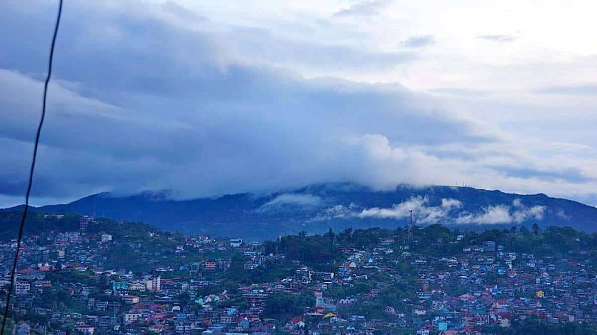
Baguio City (COMMONS WIKIPEDIA/ MANILA BULLETIN/ FILE PHOTO) The cold air from the northeast monsoon or "amihan" continues to be experienced in large parts of Luzon and Visayas although it is relatively weak compared to the previous weeks, said a weather specialist of the Philippine Atmospheric,...
(COURTESY OF MB VISUAL CONTENT GROUP) The Philippine Atmospheric, Geophysical and Astronomical Services Administration (PAGASA) is not expecting any low pressure area (LPA) or tropical cyclone that may affect the country until the weekend. PAGASA weather specialist Benison Estareja said they have...
(COURTESY OF MB VISUAL CONTENT GROUP) The shear line and northeast monsoon are still expected to bring rain showers and thunderstorms over the eastern part of the country, said the Philippine Atmospheric, Geophysical and Astronomical Services Administration (PAGASA) on Tuesday, Feb. 1. Eastern...
(COURTESY OF MB VISUAL CONTENT GROUP) The shear line and trough of a low pressure area (LPA) may bring light to occasional heavy rains over four areas in the next 24 hours, said the Philippine Atmospheric, Geophysical and Astronomical Services Administration (PAGASA) on Tuesday, Jan. 31. In its 11...
Cloud clusters spotted east of Mindanao are being closely monitored by the state weather bureau as it could potentially form into a low pressure area (LPA). Philippine Atmospheric, Geophysical and Astronomical Services Administration (PAGASA) Weather Specialist Grace Castañeda on Sunday morning,...
Most parts of the country will continue to experience cloudy skies with scattered rain showers over the next 24-hour period, said the Philippine Atmospheric, Geophysical and Astronomical Services Administration (PAGASA) on Saturday morning, Jan. 28. The scattered rain showers and overcast skies,...
(COURTESY OF MB VISUAL CONTENT GROUP) The low pressure area east of Mindanao dissipated on Thursday, Jan. 26, but the shear line and northeast monsoon may continue to bring rains over parts of Luzon and Visayas this weekend, said the Philippine Atmospheric, Geophysical and Astronomical Services...
(COURTESY OF MB VISUAL CONTENT GROUP) Parts of the country will continue to experience rains due to the low pressure area (LPA) and shear line, the Philippine Atmospheric, Geophysical and Astronomical Services Administration (PAGASA) said on Thursday, Jan. 26. In its 10 a.m. weather advisory,...
(COURTESY OF MB VISUAL CONTENT GROUP) Most of Mindanao may experience light to heavy rains due to the low pressure area (LPA) east of Davao City, the Philippine Atmospheric, Geophysical and Astronomical Services Administration (PAGASA) said on Wednesday, Jan. 25. As of 10 a.m, the LPA was estimated...