







'Luis' makes landfall in Isabela — PAGASA
Published Aug 3, 2026 06:07 pm


At A Glance
- Tropical Depression Luis was packing maximum sustained winds of 45 kilometers per hour (kph) near the center, with gustiness of up to 60 kph. It was moving northwestward at 20 kph.
- After making landfall, the tropical depression is expected to sharply turn east-northeastward as it moves away from the Philippine landmass.
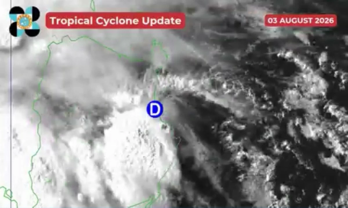
PAGASA
Tropical Depression Luis made landfall in Maconacon, Isabela at 5:30 p.m. Monday, Aug. 3, the Philippine Atmospheric, Geophysical and Astronomical Services Administration (PAGASA) said.
Luis was packing maximum sustained winds of 45 kilometers per hour (kph) near the center, with gustiness of up to 60 kph. It was moving northwestward at 20 kph.
After making landfall, the tropical depression is expected to sharply turn east-northeastward as it moves away from the Philippine landmass.
PAGASA said Luis may remain a tropical depression for most of the forecast period and may weaken into a remnant low by Wednesday, Aug. 5, before becoming fully assimilated into the circulation of a typhoon outside the Philippine Area of Responsibility with the international name “Dolphin.”
Tropical Cyclone Wind Signal No. 1 remained hoisted over parts of northern Luzon, where winds may pose a minimal to minor threat to life and property.
The areas under Signal No. 1 are the central and eastern portions of Cagayan, including Babuyan Islands, Isabela, Quirino, eastern and southern portions of Apayao, eastern portion of Kalinga, eastern portion of Mountain Province, eastern portion of Ifugao, and northern portion of Aurora.
READ MORE: