


Manila Bulletin
 Philippines
National
Francisco enters PAR, may intensify into typhoon by Sunday—PAGASA
Philippines
National
Francisco enters PAR, may intensify into typhoon by Sunday—PAGASA
Philippines
National
Francisco enters PAR, may intensify into typhoon by Sunday—PAGASA
Francisco enters PAR, may intensify into typhoon by Sunday—PAGASA
By Jel Santos
Published Jun 20, 2026 11:32 pm


At A Glance
- According to PAGASA, Francisco is not expected to directly affect the country's weather conditions within the next 24 hours.
(DOST-PAGASA)
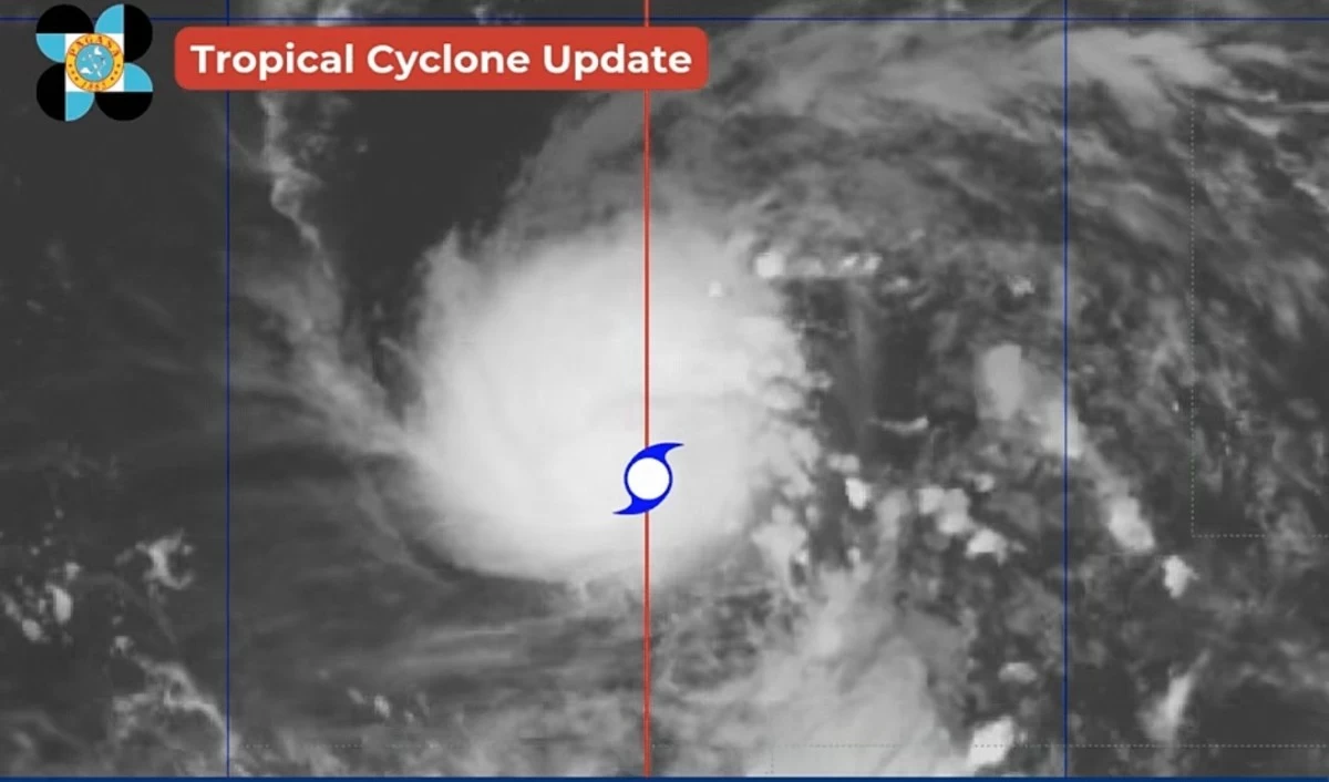
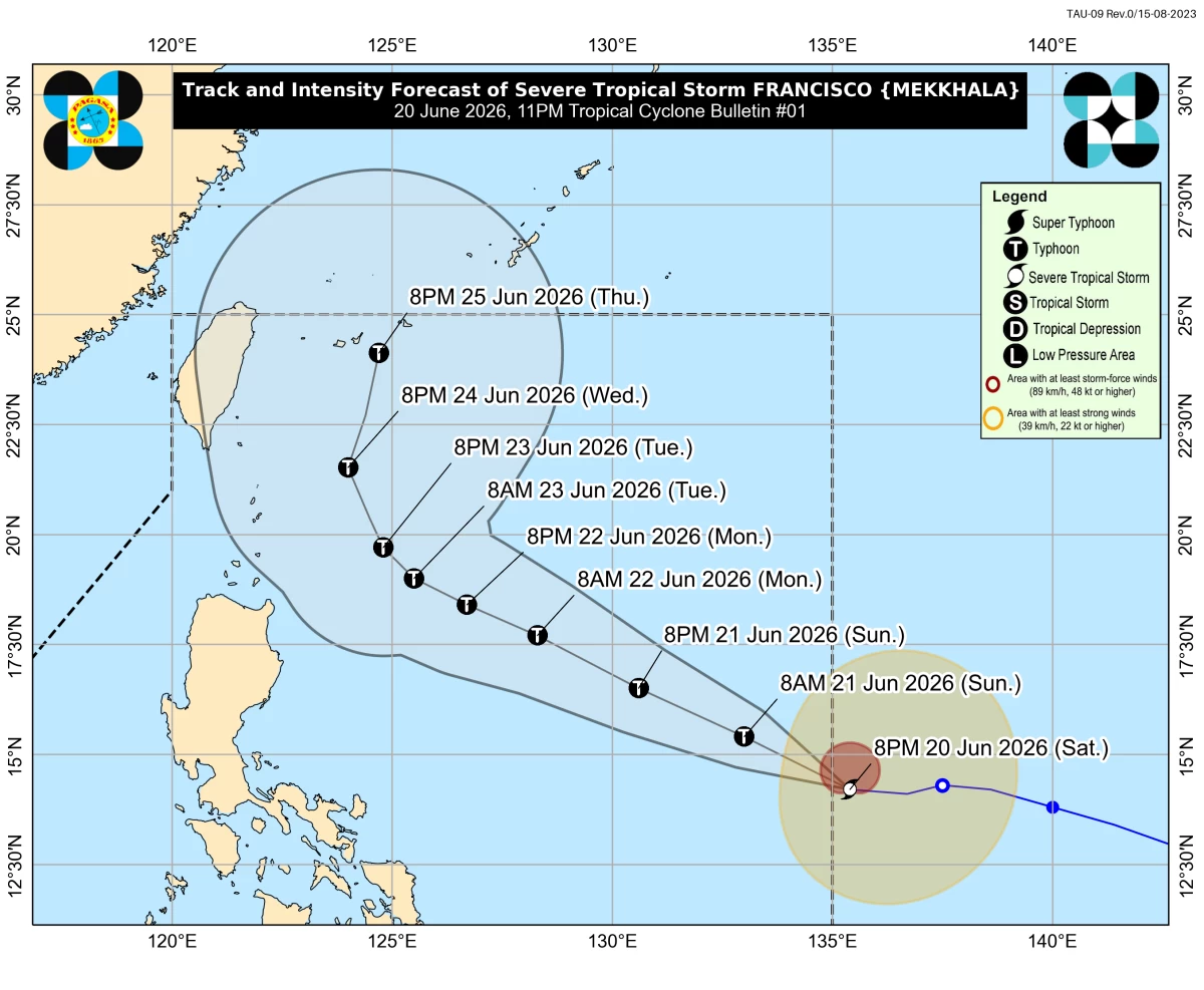
Severe Tropical Storm Francisco entered the Philippine Area of Responsibility (PAR) on Saturday night, June 20, and is expected to continue intensifying over the Philippine Sea, potentially reaching typhoon category by Sunday, June 21, the Philippine Atmospheric, Geophysical and Astronomical Services Administration (PAGASA) said.
“FRANCISO will continue to intensify and may reach typhoon category by tomorrow (21 June). As it moves over the Philippine Sea, it will further intensify until it reaches its peak intensity likely by Monday (22 June). Thereafter, a weakening trend is expected,” the agency said in its latest tropical cyclone bulletin.
According to PAGASA, Francisco is not expected to directly affect the country’s weather conditions within the next 24 hours.
“FRANCISCO is less likely to directly affect the weather condition of the country in the next 24 hours,” the state weather bureau said.
However, PAGASA said the possibility of hoisting Tropical Cyclone Wind Signal No. 1 over parts of Northern Luzon remains.
“Based on the latest forecast track, the hoisting of Wind Signal No.1 over the northern and eastern portions of Northern Luzon is not ruled out,” it added.
(DOST-PAGASA)
PAGASA warned the southwest monsoon or “habagat” may bring strong to gale-force gusts, particularly in coastal and upland areas exposed to winds, over Siquijor, Camiguin, and the southern portions of Davao Oriental, Davao Occidental, and Sarangani on Sunday, June 21.
By Monday, June 22, similar conditions may affect Romblon, most of the Visayas, Zamboanga del Norte, Misamis Occidental, Lanao del Norte, Camiguin, Surigao del Norte, and Dinagat Islands.
Meanwhile, the agency said up to moderate seas of as high as 2 meters may be experienced along the eastern seaboards of Dinagat Islands, Siargao-Bucas Grande Islands, Surigao del Sur, and Davao Oriental over the next 24 hours.
“Mariners of motorbancas and similarly sized vessels are advised to take precautionary measures while venturing out to sea and, if possible, avoid navigation under these conditions,” PAGASA said.
In its track and intensity outlook, the state weather bureau said Francisco is forecast to remain over the Philippine Sea throughout the forecast period.
“Severe Tropical Storm FRANCISCO will remain over the Philippine Sea throughout the forecast period. It is forecast to move west northwestward until Tuesday (23 June), then it will decelerate as it recurves north northeastward for the rest of the forecast period,” PAGASA said.