


Manila Bulletin
 Philippines
National
PAGASA: 'Nando' slightly intensifies; may make landfall in Babuyan Islands as typhoon
Philippines
National
PAGASA: 'Nando' slightly intensifies; may make landfall in Babuyan Islands as typhoon
Philippines
National
PAGASA: 'Nando' slightly intensifies; may make landfall in Babuyan Islands as typhoon
PAGASA: 'Nando' slightly intensifies; may make landfall in Babuyan Islands as typhoon
Published Sep 19, 2025 05:50 am


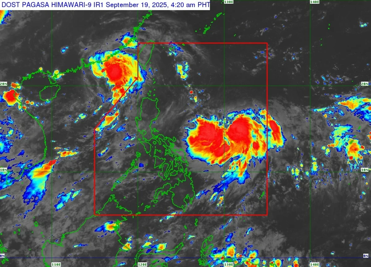
Tropical Storm Nando (international name: Ragasa) slightly intensifies over the Philippine Sea on September 19, 2025. (PAGASA)
Tropical Storm Nando (international name: Ragasa) slightly intensified early Friday, September 19, as it continued moving west-northwestward over the Philippine Sea, the Philippine Atmospheric, Geophysical and Astronomical Services Administration (PAGASA) said.
In its 5 a.m. bulletin, PAGASA said the center of “Nando” was located 1,075 kilometers east of Central Luzon as of 4 a.m.
The weather bureau added that TS Nando packed maximum sustained winds of 75 km/h near the center, with gusts of up to 90 km/h and a central pressure of 998 hPa. The storm is moving west-northwestward at 15 km/h, with gale-force winds extending up to 380 km from its center.
No wind signals yet, but warnings possible
PAGASA said no Tropical Cyclone Wind Signals (TCWS) are currently in effect. However, Signal No. 1 may be raised over Northern Luzon as early as Saturday, September 20.
The weather bureau warned that the highest possible alert level, Signal No. 5, could be hoisted if TS Nando intensifies into a super typhoon.
“Nando will continue to intensify while over the Philippine Sea and may reach typhoon category by tomorrow evening,” PAGASA said.
“Further intensification into super typhoon category while traversing Extreme Northern Luzon is not ruled out,” the state weather bureau added.
Rainfall and monsoon enhancement
While TS Nando is unlikely to directly affect the country’s weather within the next 48 hours, PAGASA said its interaction with the southwest monsoon (habagat) may bring heavy rains starting Sunday, September 21, or Monday, September 22.
On Friday, September 19, strong to gale-force gusts may be experienced in Ilocos Region, Zambales, Bataan, Bicol Region, and Eastern Visayas. On Saturday, September 20, gusty conditions may extend to Bicol Region, Eastern Visayas, and Caraga. By Sunday, September 21, these conditions are also expected in Bicol Region, Visayas, Northern Mindanao, and Caraga.
Coastal hazards
While sea conditions remain generally safe within 24 hours, moderate to rough seas are expected over most of Luzon’s coastal waters starting Sunday. Wave heights may reach up to 14 meters as the storm nears Extreme Northern Luzon. PAGASA also cautioned that storm surge warnings may be raised over coastal areas of Northern Luzon beginning Saturday.
Possible landfall: Babuyan Islands
PAGASA said Nando is projected to follow a west-northwest track, possibly looping briefly on September 19 before resuming its movement toward Extreme Northern Luzon.
On this forecast path, PAGASA said TS Nando may pass close to or make landfall in the Babuyan Islands between Monday evening, September 22, and Tuesday morning, September 23.
Afterward, “Nando” is expected to exit the Philippine Area of Responsibility (PAR) by late Tuesday.
PAGASA said the storm may reach typhoon category by Saturday evening and could further strengthen into a super typhoon while crossing Extreme Northern Luzon.
Preparedness advisory
As PAGASA continues to monitor TS Nando’s movements, authorities and residents in flood- and landslide-prone areas are urged to remain alert and prepare for possible evacuations. Disaster risk reduction offices were also advised to take precautionary measures as the storm intensifies.
RELATED STORY: