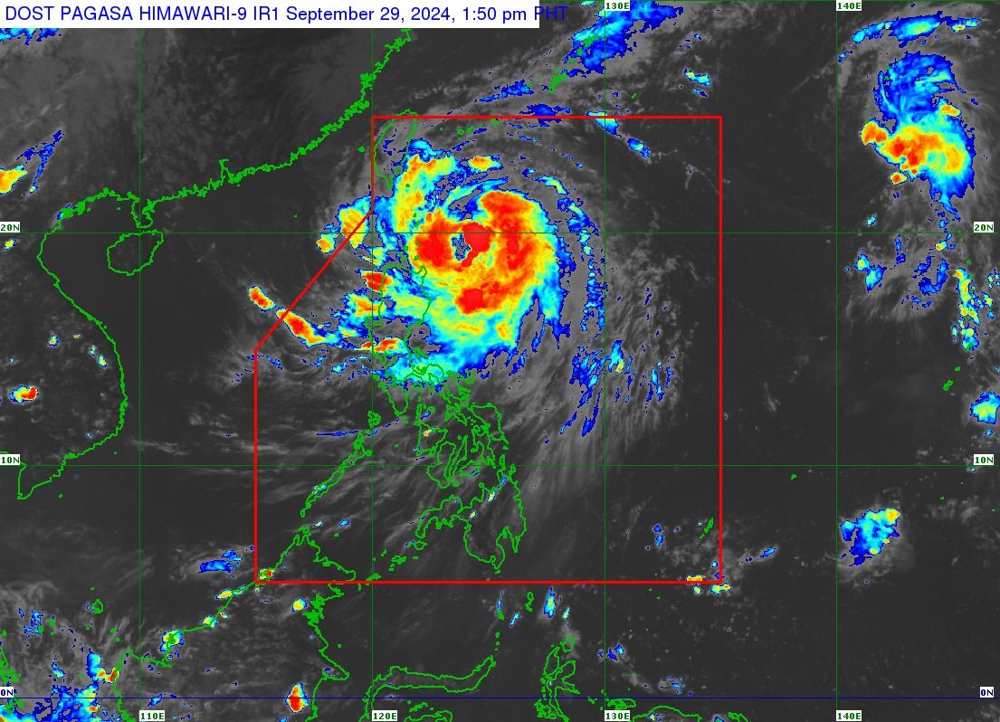
As it continues to move over the Philippine Sea, “Julian” has intensified from a severe tropical storm into a typhoon, with maximum sustained winds of 120 kilometers per hour (kph) near the center and gusts of up to 135 kph, as of Sunday afternoon, Sept. 29.
Based on the 2 p.m. bulletin of the Philippine Atmospheric, Geophysical and Astronomical Services Administration (PAGASA), Julian was located 275 kilometers east of Calayan, Cagayan, and is moving northwestward at 15 kph.
PAGASA noted that, given the recent trend in Julian’s intensification, the possibility of it reaching super typhoon status cannot be ruled out.
Likewise, the typhoon’s track forecast shows that a landfall or close approach scenario over Batanes or the Babuyan Islands by Monday, Sept. 30, is still “highly likely.”
READ MORE: https://mb.com.ph/2024/9/29/pagasa-raises-signal-no-3