


Tropical storm Carina 'almost stationary', enhances 'habagat'


At A Glance
- As of 4 p.m., PAGASA located the center of the tropical storm Carina 365 kilometers east-northeast of Casiguran, Aurora, with maximum sustained winds of 85 kilometers per hour (kph) near the center and gusts of up to 115 kph.
- The possibility of hoisting Wind Signal No. 1 over extreme Northern Luzon and the northeastern portion of mainland Cagayan by Sunday evening or Monday, July 22, has not been ruled out, in anticipation of strong winds associated with the storm.
- Carina may intensify the habagat, potentially causing "moderate to intense" rainfall over parts of western Luzon, including Metro Manila, until Tuesday, July 23.
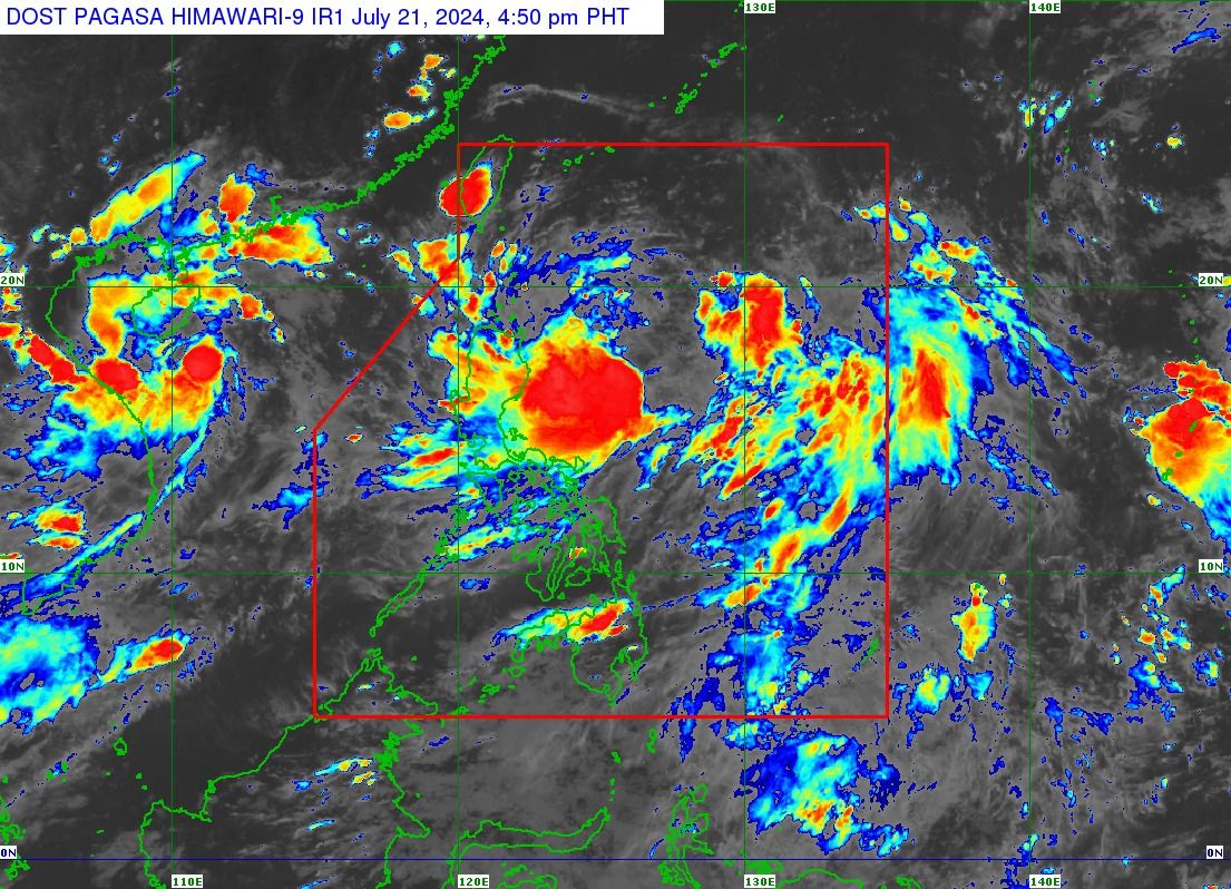
The Philippine Atmospheric, Geophysical and Astronomical Services Administration (PAGASA) on Sunday afternoon, July 21 said tropical storm “Carina” (international name “Gaemi”) has decelerated and is “almost stationary” over the Philippine Sea, enhancing the southwest monsoon, locally known as “habagat.”
As of 4 p.m., PAGASA located the center of the storm 365 kilometers east-northeast of Casiguran, Aurora, with maximum sustained winds of 85 kilometers per hour (kph) near the center and gusts of up to 115 kph.
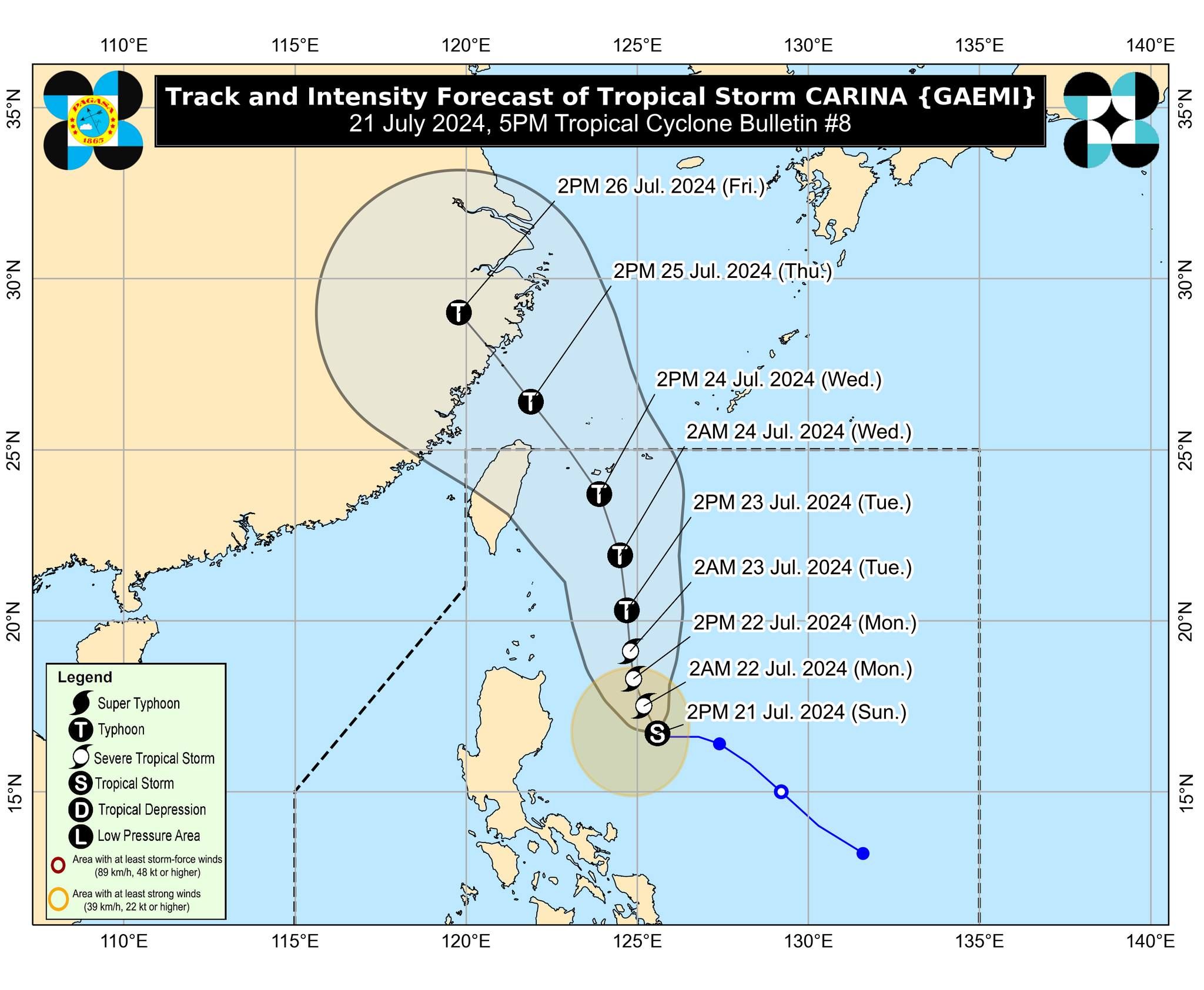
PAGASA said Carina is expected to remain far from the country’s landmass but its outer circulation may still cause severe winds and heavy rains over some portions of eastern Luzon.
The possibility of hoisting Wind Signal No. 1 over extreme Northern Luzon and the northeastern portion of mainland Cagayan by Sunday evening or Monday, July 22, has not been ruled out, in anticipation of strong winds associated with the storm.
PAGASA also warned that Carina may bring heavy to intense rains to the eastern portion of Cagayan, Batanes, and Babuyan Islands until Tuesday, July 23.
Moderate to heavy rains may also affect the rest of mainland Cagayan and the northeastern portion of Isabela.
Likewise, PAGASA said Carina may intensify the habagat, potentially causing “moderate to intense” rainfall over parts of western Luzon, including Metro Manila, until Tuesday.
READ: https://mb.com.ph/2024/7/21/carina-enhanced-habagat-to-dampen-sona-pagasa
Further intensification
PAGASA added that Carina may steadily intensify over the next four days due to favorable environmental conditions.
It could become a severe tropical storm by Monday and a typhoon by Tuesday.
“Rapid intensification within the forecast period is possible,” PAGASA said.
Carina is projected to move generally north-northwestward to northward over the Philippine Sea until Tuesday.
Based on the track forecast, it is expected to exit the country’s area of responsibility by Wednesday, July 24.