


The Philippine Atmospheric, Geophysical and Astronomical Services Administration (PAGASA) on Saturday, July 20, said that "Butchoy" and "Carina" remain classified as Tropical Depression (TD).
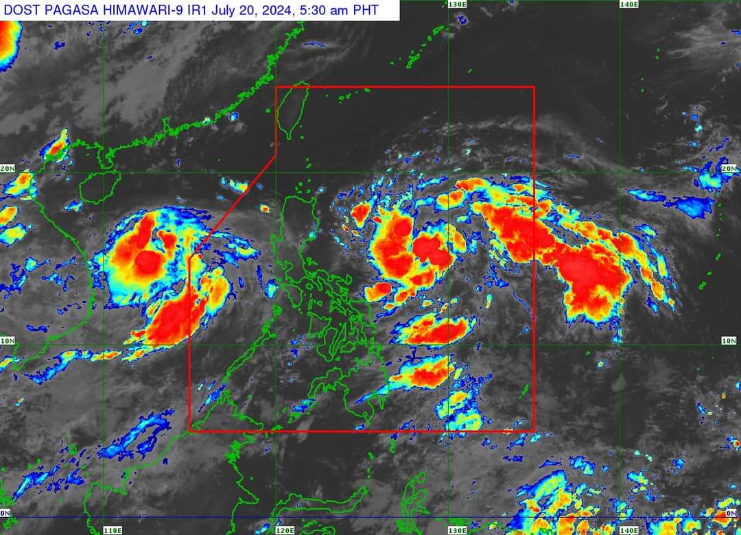
In a public briefing at 5 a.m., PAGASA reported that as of 4 a.m., TD Butchoy was located 545 kilometers west of Subic Bay, moving northwestward at 20 kilometers per hour (kph).
It has a maximum sustained wind of 55 kph and gusts of up to 70 kph.
Meanwhile, TD Carina was last observed 625 kilometers east-northeast of Virac, Catanduanes.
It has maximum sustained winds near the center of 55 kph and gusts up to 70 kph.
As of 4 a.m., "Carina" is moving northwestward at 30 kph.
PAGASA noted that while "Butchoy" does not have a direct effect on the country, it enhances the southwest monsoon or "habagat."
"Itong southwest monsoon o yung hanging habagat na patuloy na pina-pairal ni Bagyong Butchoy ay inaasahan natin magdudulot ng maulap na kalangitan na may mga kalat-kalat na pag-ulan, pag-kulog at pag-kidlat sa ilang area (The southwest monsoon, being intensified by 'Butchoy' is expected to bring cloudy skies with scattered rains, thunderstorms, and lightning to some areas)," PAGASA Weather Specialist Daniel James Villamil said.
PAGASA reported that "Carina" and "Butchoy" developed into tropical depressions from being two low pressure areas (LPAs) at 8 p.m. on July 19.
This update was provided by PAGASA's 11 p.m. bulletin.
READ:
https://mb.com.ph/2024/7/20/two-lp-as-develop-into-tropical-depressions-named-butchoy-carina