







Understanding flood risk
How weather patterns and land use drive disasters
Published Aug 25, 2026 09:27 am


“Floods are among the most destructive calamities man has to cope with.”
The statement comes from the Philippine Atmospheric, Geophysical and Astronomical Services Administration (PAGASA), an attached agency of the Department of Science and Technology (DOST).
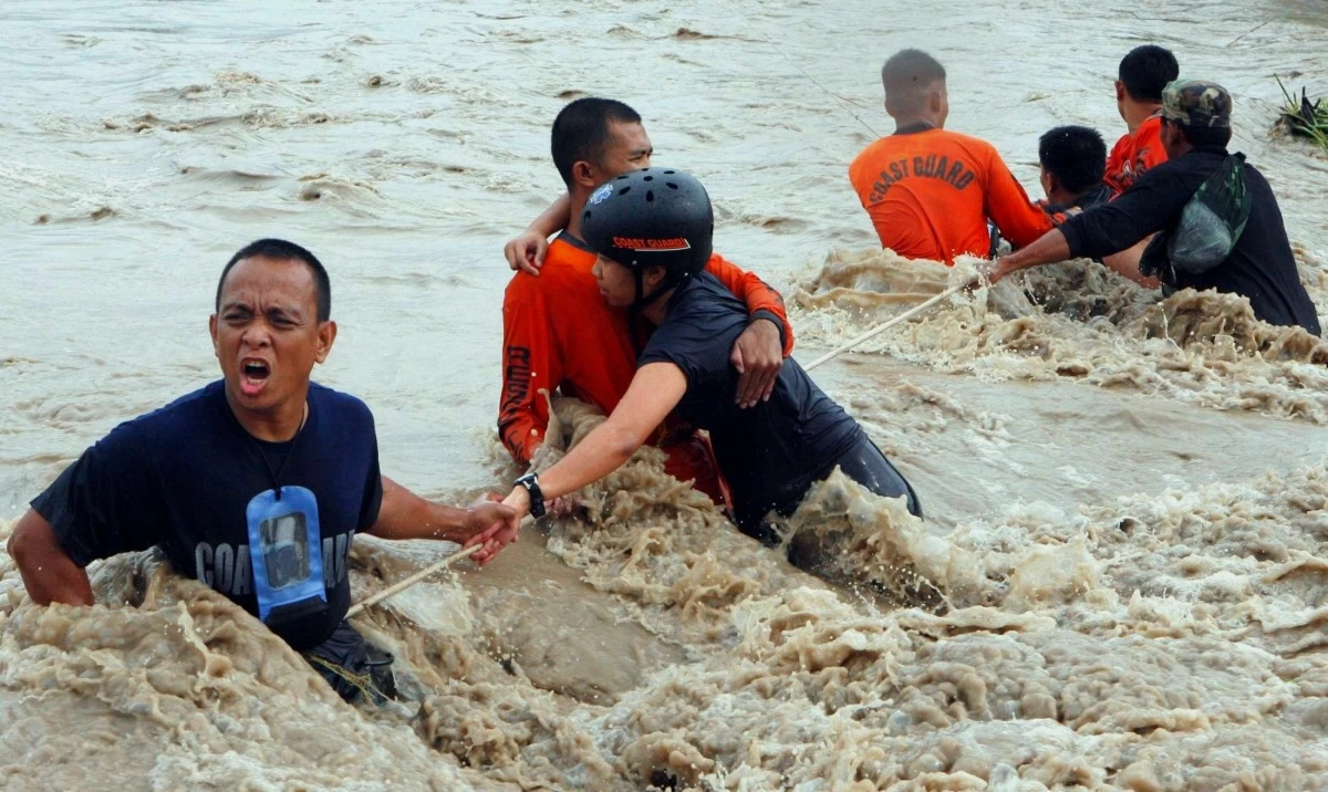
Rescue operation (Photo courtesy of Dr Ted Esguerra)
Floods inflict significant damage by endangering human lives, destroying property and disrupting infrastructure. They facilitate the spread of waterborne diseases, devastate crops and livestock, erode soil and harm ecosystems, although they can also naturally replenish groundwater and nutrients in floodplains.
A flood is defined as an overflow of water that inundates land that is typically dry. “Floods are due to the complex combination of weather, climatic and human activities,” explained Rosalie C. Pagulayan, a weather specialist II from PAGASA. “Most floods occur as a result of moderate-to-large-scale rainfall events.”
Due to its geographical location and topography, the Philippines is susceptible to five weather-related phenomena that can lead to flooding: thunderstorms, cold fronts, monsoons, the intertropical convergence zone (ITCZ), and tropical cyclones.
Thunderstorms, often referred to as local storms, occur when towering cumulus clouds ascend to altitudes where temperatures fall significantly below freezing. The hazards associated with these storms include heavy rainfall, which can lead to flash floods, and lightning, which poses risks of death, burns, or fire.
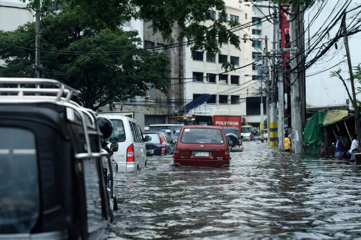
Flooding in the city (Photo by Henrylito Tacio)
A cold front occurs when cold air moves over regions of warm air. Because cold air is denser than warm air, the latter is forced upward by the cold air, resulting in extensive cloud formation. The cold front influences the eastern part of the country from November until late April or early May, according to the weather bureau.
There are two categories of monsoon: Southwest and Northeast. In the Southwest monsoon, the Asian continent heats up more than the adjacent seas, leading to the formation of a low-pressure system over the land. This phenomenon, locally known as habagat, generates a flow of moist southwest winds towards the Philippine region.
Occasionally, when this southwest airflow becomes sufficiently deep, it can persist for an extended period, resulting in continuous rainfall that may last for several weeks from June to September. PAGASA says the Southwest monsoon accounts for a significant portion of the rainfall during the wet season in the country.
In the case of the Northeast monsoon (amihan in local parlance), the Asian continent is covered in snow, and a high-pressure system over China directs northeasterly winds towards the Philippines, bringing colder temperatures and substantial rainfall to the eastern coasts. This typically occurs from November to February.
Referred to by sailors as the doldrums, the intertropical convergence zone (ITCZ) is a region where the trade winds from the northern hemisphere converge with those from the southern hemisphere.
According to meteorological authorities, the ITCZ is marked by towering cumulonimbus clouds and is often associated with widespread thunderstorms and showers.
“The axis of convergence, which is usually oriented in an east to west direction, does not remain stationary at the equator but migrates north or south of the equator,” PAGASA’s briefing paper explains.
In the Philippines, the ITCZ oscillates from May to October.
Tropical cyclones are low-pressure systems characterized by relatively low atmospheric pressure at the center with very strong winds blowing counterclockwise in the Northern Hemisphere toward and around the center.
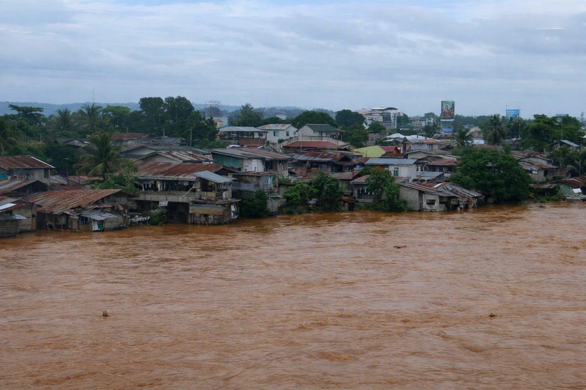
Flood causing water overflow (Photo by Henrylito Tacio)
All these weather disturbances bring a lot of water, causing flooding in affected areas. The same thing happens with a storm surge: “a rise of seawater above the normal level on the coast generated by the action of the wind and atmospheric pressure, associated with the occurrence of a tropical cyclone.”
“Clearly, floods are caused by nature; but in some cases, they are exacerbated by human activities,” observed Patrick Durst, the former forestry officer at the regional office of the UN Food and Agriculture Organization (FAO).
Floods can also be attributed to various human-induced factors. Paved surfaces such as roads and concrete prevent rainwater from being absorbed into the ground, resulting in rapid runoff. Inadequate drainage systems also contribute to flooding, and clogged or damaged pipes and ditches cannot effectively transport water away. Dam failures pose another significant risk, as aging or structurally compromised dams can collapse, unleashing substantial volumes of water.
Deforestation is often cited as a major contributor. Eliminating trees and vegetation diminishes the ability of water to be retained and absorbed by plant roots.
However, Durst expressed a differing opinion regarding the widely held belief that forest loss is directly responsible for severe flooding.
“Government officials, humanitarian organizations, and the media are often quick to attribute flooding to deforestation caused by small-scale farmers and loggers,” he remarked.
He emphasized that such beliefs in the past had led certain governments to displace impoverished farmers from their lands and forests without taking measures to mitigate future flooding.
“The floods blamed on deforestation almost always occur after prolonged rains, which saturate the soil, including forest soil, so that it can no longer absorb more water,” explained the 30-page FAO publication, Forests and Floods: Drowning in Fiction or Thriving on Facts? “Rain then has nowhere to go but into rivers where it fills them to overflowing.”
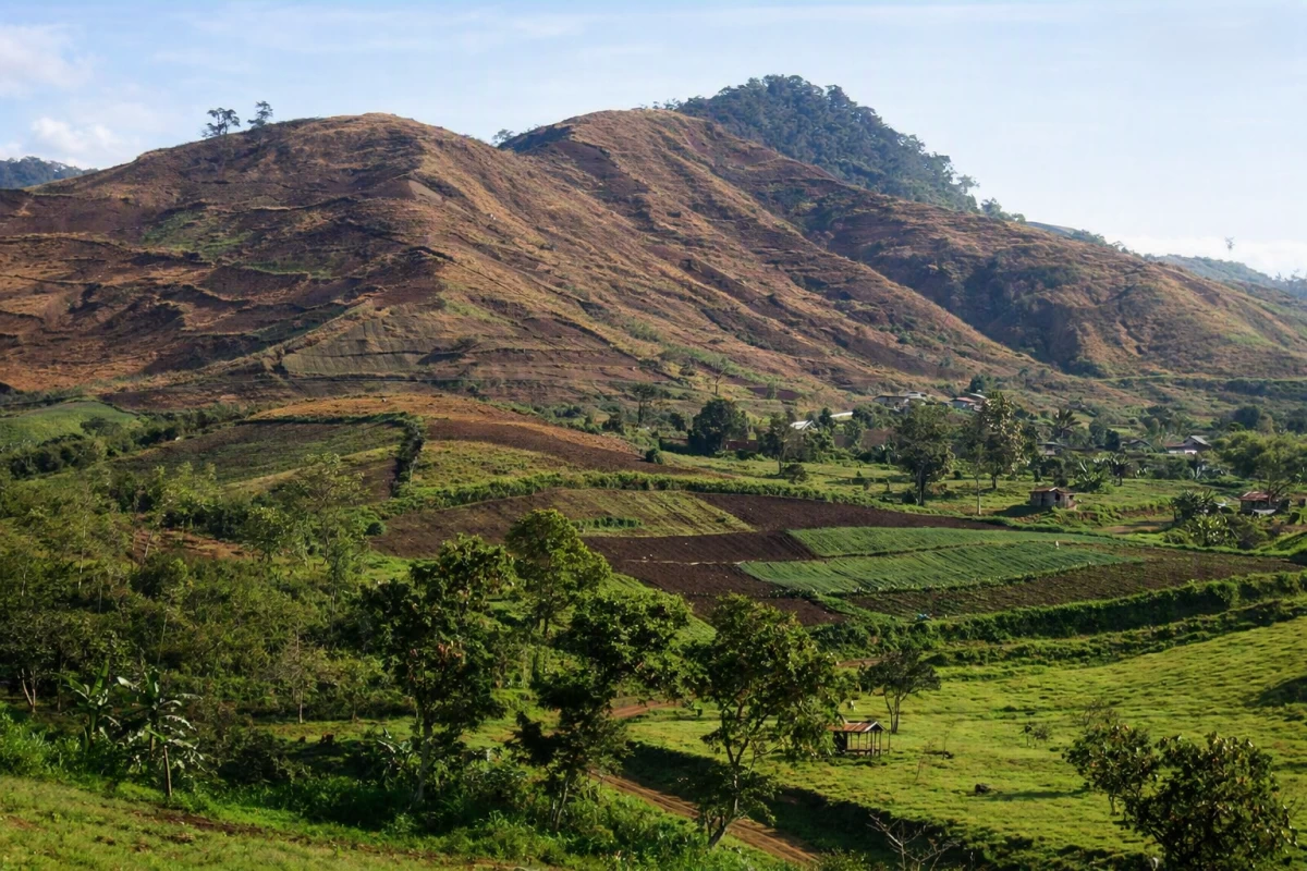
Denuded mountain (Photo by Henrylito Tacio)
At its root, the flood equation is pretty simple: If a river cannot handle the volume of water it is required to carry, it must rise. With enough water, it must rise above its banks and flood. The faster water runs from the watershed into the river, the higher a flood will be. Thus, anything that increases runoff speed, such as excessive pavement or ditching of farmland, will contribute to floods.
“If deforestation were causing floods, you would expect a rise in major flood events paralleling the rise in deforestation, but that is not the case,” Durst pointed out. “The frequency of major flooding events has remained the same over the last 120 years, going back to the days when lush forests were abundant.”
The conventional view for 100 years has been that forests prevent floods by acting as a giant sponge. According to this theory, developed by European foresters at the end of the 19th century, forest soil, roots and litter soak up water during rainy spells and release it evenly during dry periods.
When major floods do occur, it is most often towards the end of the rainy season, when heavy rain falls and soils are already saturated and incapable of soaking up additional water, the FAO report noted.
“The reality is far more complex,” FAO said. “Although forested watersheds are exceptionally stable hydrological systems, the complexity of environmental factors should cause us to refrain from overselling the virtues of forests and from relying on simple solutions.”
After all, there can be a political interest in leaving the conventional wisdom about forests and floods unchallenged, the report points out.
Governments can respond to floods with logging bans and give the public the appearance of taking decisive steps to stop flooding. The practical effect of such policies is to force poor farmers, who are routinely portrayed as major perpetrators of illegal logging, to abandon their lands.
“While the ability of forests to prevent catastrophic floods is limited, watershed management should definitely not be abandoned,” the FAO publication urged. “Forests provide a variety of environmental services, which need to be protected and nurtured for the benefit of today and tomorrow’s upland and lowland populations.”
The recent floods happening in various parts of the country should serve as a warning of what could happen in the near future. They are, in effect, a “dry run”, a reminder that while flooding is a natural phenomenon, the way people use and manage the land can determine how severe its consequences become.