






Manila Bulletin
 Philippines
National
Zambales, Benguet log highest 24-hour rainfall from 'Maymay', 'habagat'
Philippines
National
Zambales, Benguet log highest 24-hour rainfall from 'Maymay', 'habagat'
Philippines
National
Zambales, Benguet log highest 24-hour rainfall from 'Maymay', 'habagat'
Zambales, Benguet log highest 24-hour rainfall from 'Maymay', 'habagat'
Published Aug 7, 2026 07:48 pm


At A Glance
- Rainfall of 100 to 200 millimeters within 24 hours is classified as heavy to intense.
- PAGASA's monitoring stations recorded the highest 24-hour rainfall in Iba, Zambales at 158.6 millimeters, followed by Baguio City, Benguet with 158 millimeters, La Trinidad, Benguet with 154.4 millimeters, Olongapo City, Zambales with 112.4 millimeters, and Dagupan City, Pangasinan with 111.4 millimeters.
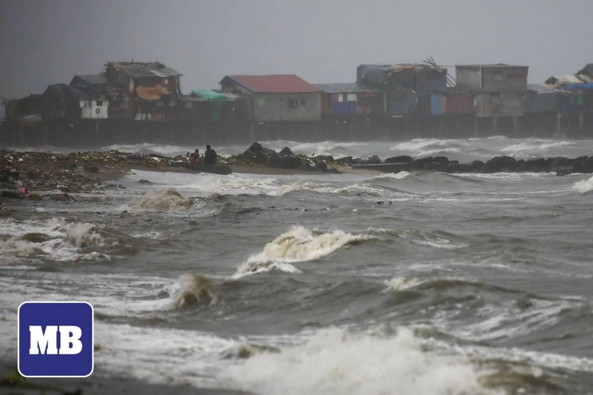
(John Louie Abrina/Manila Bulletin)
Tropical Depression Maymay (international name “Kujira”) and the southwest monsoon or “habagat” dumped more than 150 millimeters of rain in parts of Luzon over the past 24 hours, the Philippine Atmospheric, Geophysical and Astronomical Services Administration (PAGASA) said on Friday, Aug. 7.
PAGASA's monitoring stations recorded the highest 24-hour rainfall in Iba, Zambales at 158.6 millimeters, followed by Baguio City, Benguet with 158 millimeters, La Trinidad, Benguet with 154.4 millimeters, Olongapo City, Zambales with 112.4 millimeters, and Dagupan City, Pangasinan with 111.4 millimeters.
Rainfall of 100 to 200 millimeters within 24 hours is classified as heavy to intense.
Meanwhile, the low-pressure area formerly Tropical Depression Maymay exited the Philippine Area of Responsibility (PAR) on Friday morning.
Despite Maymay's exit, PAGASA said the typhoon-enhanced southwest monsoon will remain the country's dominant weather system until the weekend.
PAGASA weather specialist Dr. John Manalo said the typhoon with the international name “Dolphin” is expected to remain outside PAR but will continue to strengthen the habagat, resulting in widespread rains over parts of the country.
“Based on our latest satellite image, clusters of clouds are covering the western part of the country, including Metro Manila and nearby provinces. One of the reasons these clouds are widespread is the influence of Typhoon Dolphin,” Manalo said in Filipino.
As of Friday afternoon, Typhoon Dolphin was located 915 kilometers northeast of extreme Northern Luzon.
“Because of Typhoon Dolphin, the southwest monsoon remains enhanced and this slight strengthening will continue over the next few days,” Manalo said.
He warned that the recent heavy rainfall has heightened the risk of flooding and landslides.
“This means the risk of landslides and flooding is now higher. Please remain alert, continue taking precautions, and coordinate with your local Disaster Risk Reduction and Management offices if evacuation becomes necessary,” Manalo said.
PAGASA warned of continuous moderate to intense monsoon rains over Occidental Mindoro, Zambales, and Bataan, while occasional moderate to heavy rains may affect Metro Manila, Ilocos Sur, La Union, Pangasinan, Abra, Benguet, Tarlac, Pampanga, Bulacan, Rizal, Cavite, Laguna, Batangas, Oriental Mindoro, and Antique.
The trough of Typhoon Dolphin will also bring scattered rains and thunderstorms over Batanes and the Babuyan Islands.