






Manila Bulletin
 Philippines
National
Super Typhoon Bavi remains outside PAR; easterlies to bring rains over parts of Luzon, Visayas—PAGASA
Philippines
National
Super Typhoon Bavi remains outside PAR; easterlies to bring rains over parts of Luzon, Visayas—PAGASA
Philippines
National
Super Typhoon Bavi remains outside PAR; easterlies to bring rains over parts of Luzon, Visayas—PAGASA
Super Typhoon Bavi remains outside PAR; easterlies to bring rains over parts of Luzon, Visayas—PAGASA
By Jel Santos
Published Jul 4, 2026 12:47 pm
|
Updated Jul 4, 2026 02:00 pm


At A Glance
- In its 4 a.m. public weather forecast, the agency said Bavi was last spotted 2,985 kilometers east of Eastern Visayas, packing maximum sustained winds of 195 kilometers per hour (kph), gusts of up to 240 kph, and moving westward at 15 kph.

(MB FILE PHOTO)
Super Typhoon Bavi remained outside the Philippine Area of Responsibility (PAR) early Saturday, July 4, as the easterlies continued to bring isolated rain showers and thunderstorms over parts of Luzon and the Visayas, the Philippine Atmospheric, Geophysical and Astronomical Services Administration (PAGASA) said.
In its 4 a.m. public weather forecast, the agency said Bavi was last spotted 2,985 kilometers east of Eastern Visayas, packing maximum sustained winds of 195 kilometers per hour (kph), gusts of up to 240 kph, and moving westward at 15 kph.
Meanwhile, it noted that the easterlies, or warm winds coming from the Pacific Ocean, will bring partly cloudy to cloudy skies with isolated rain showers or thunderstorms over Cagayan Valley, the Bicol Region, Eastern Visayas, Aurora, Quezon, and Dinagat Islands.
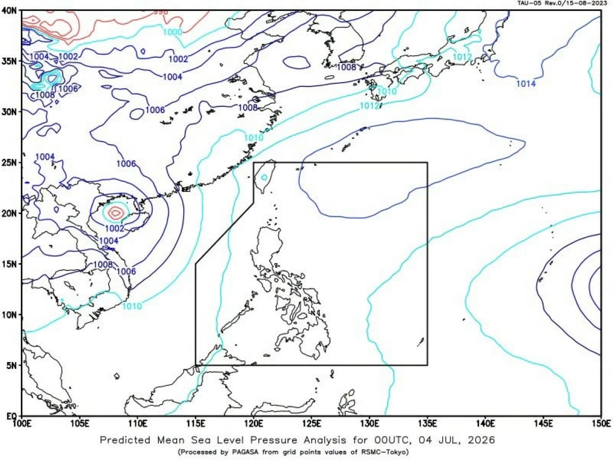
(DOST-PAGASA)
The state weather bureau warned that severe thunderstorms in these areas may trigger flash floods or landslides.
According to PAGASA, Metro Manila and the rest of the country will also experience partly cloudy to cloudy skies with isolated rain showers or thunderstorms due to localized thunderstorms.
The agency also cautioned residents that severe thunderstorms may cause flash floods or landslides, particularly in low-lying and mountainous areas.
PAGASA added that light to moderate winds and slight to moderate coastal waters will prevail across the country, with wave heights ranging from 0.6 to 1.8 meters.