


Manila Bulletin
 Philippines
National
UP scientists map submarine volcanoes, faults, ocean energy zone in Philippine waters
Philippines
National
UP scientists map submarine volcanoes, faults, ocean energy zone in Philippine waters
Philippines
National
UP scientists map submarine volcanoes, faults, ocean energy zone in Philippine waters
UP scientists map submarine volcanoes, faults, ocean energy zone in Philippine waters
Published Feb 24, 2026 11:27 am


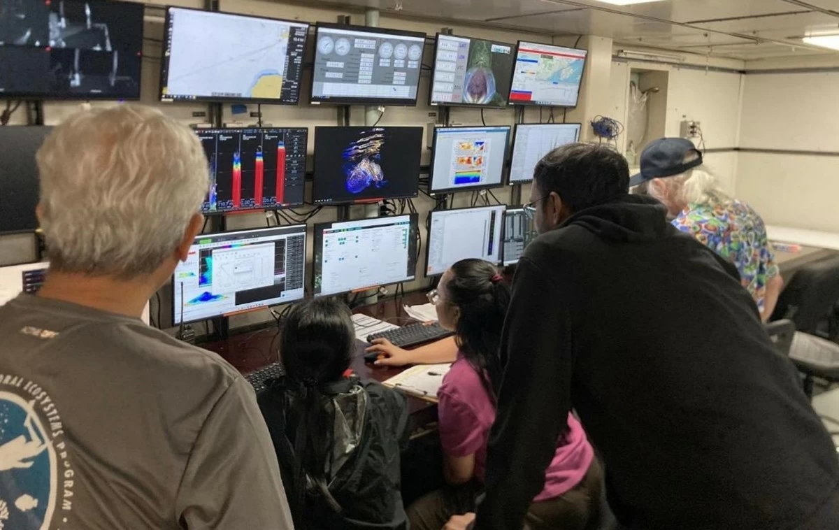
Members of the Philippine research team operate the EK80 echosounder, EM-124 multibeam echosounder, and SBP-29 sub-bottom profiler during 24/7 survey operations aboard the R/V Thomas G. Thompson as part of the December 2025 deep-sea expedition to the Sulu Sea, Celebes Sea, and southern Philippine Sea. (Photo by Laurice Dagum/University of the Philippines-Marine Science Institute)
Scientists from the University of the Philippines-Marine Science Institute (UP-MSI) have mapped submarine volcanoes, previously unmapped faults, internal wave generation zones, and an area with strong potential for renewable energy development following a deep-sea expedition across the Sulu Sea, Celebes Sea, and southern Philippine Sea.
The findings were presented by geological oceanographer Dr. Fernando Siringan and physical oceanographer Dr. Charina Lyn Amedo-Repollo during a scientific talk titled “Mapping the ocean environment through acoustics: Field data of the RV Thompson TN 447 Cruise,” held on Feb. 3 at the UP-MSI’s Edgardo D. Gomez Hall.
The December 2025 expedition was conducted by UP MSI in collaboration with scientists from the University of California, Santa Cruz and Mindanao State University—Naawan.
The Philippine team, composed of geological, physical, and chemical oceanographers, was led by Siringan, while Dr. Daniel Orange served as principal investigator for the entire mission.
Mapping submarine volcanoes
Using the hull-mounted multibeam system of the research vessel R/V Thomas G. Thompson, scientists generated detailed maps of seafloor topography and roughness in areas previously identified as possible submarine volcanoes based on data from National Mapping and Resource Information Authority and General Bathymetric Chart of the Oceans.
In the Sulu Sea, researchers detected a vertically oriented anomaly extending about 30 meters above a volcanic feature using the EK80 sonar system, which scans the water column.
Siringan said the signal was likely caused by hydrothermal gases being discharged from the volcano.
Meanwhile, a volcanic feature south of Balut Island in the Celebes Sea showed a morphology consistent with a caldera structure.
Siringan explained that volcanic edifices often host unique ecosystems.
“Anywhere you have gas seeps and hydrocarbon seeps, the biodiversity is relatively unique compared to surrounding areas. That's why it's an area of interest for both geologists and biologists,” he said.
He cited earlier work at the Philippine Rise where deep-sea surveys documented sea stars, sea lilies, and Iridogorgia corals at depths of around 1,300 meters.
The UP-MSI continues to study Philippine marine organisms for pharmaceutical applications.
While no deep-sea compounds have yet reached development, research on shallow-water cone snails contributed to the creation of the analgesic drug ziconotide, while compounds from the Philippine blue sponge are now being studied for potential breast cancer treatment.
Previously unmapped faults off Palawan
Long regarded as the country’s “safest place” because of its tectonic stability, Palawan has often been described as having no active faults.
However, the expedition revealed several previously unmapped fault structures off eastern Palawan.
One fault along the continental slope cuts through the seabed surface and shows a displacement of about 10 meters.
Along the projected extension of the Ulugan Bay Fault, researchers identified multiple faults slicing through sediment layers across roughly 20 kilometers.
Siringan said the observations align with earlier fault mapping conducted by French and German scientists during hydrocarbon exploration studies in the Sulu Sea.
The Philippine Institute of Volcanology and Seismology previously attributed the magnitude 5.1 earthquake that struck Palawan on June 11, 2024 to one of the known faults in the area.
Based on the new data, Siringan hypothesized that the alignment of volcanic features along the western Sulu Sea, including Manguao Volcano in Taytay, Palawan, may also be linked to one of these faults.
He called for a reassessment of Palawan’s geology, particularly as the province is being considered as a possible site for a nuclear power facility.
Ocean processes tied to energy, fisheries
In the southern Philippine Sea, physical oceanographers documented deep ocean processes that may support both fisheries productivity and renewable energy development.
Amedo-Repollo said that measurements showed a temperature difference of at least 20 degrees Celsius between warm surface waters and colder deep waters occurring at a depth of only about 200 meters—much shallower than in many tropical oceans.
She explained that this temperature gradient meets operational requirements for Ocean Thermal Energy Conversion (OTEC), a technology that generates electricity using temperature differences between surface and deep waters.
“The strong surface-to-deep temperature contrast observed in the southern Philippine Sea meets the thermal requirements for OTEC, indicating high potential for continuous baseload renewable energy, with additional applications for desalination and seawater cooling,” Amedo-Repollo said.
She attributed the pronounced thermal structure to strong solar heating and large-scale ocean circulation in the open-ocean environment east of Mindanao.
Data collected during the expedition showed that the southward-flowing Mindanao Current interacts with the northward-flowing Mindanao Undercurrent, forming a deep shear layer about 600 to 700 meters below the surface.
This interaction generates internal waves and internal tides—large subsurface waves created when strong currents pass over steep and complex seafloor features such as those in the Basilan Strait and along the Sangihe Arc.
These underwater waves promote vertical mixing, allowing nutrients from deeper waters to rise toward the surface and sustain plankton growth, which supports productive fishing grounds and marine ecosystems.
Amedo-Repollo said understanding the ocean’s layered structure can guide decisions on renewable energy development, fisheries management, and the country’s broader blue economy.
“We don't only see water. We see opportunities for future work,” she said.
Expanding Philippine deep-sea research
Despite being surrounded by some of the world's deepest waters, much of the Philippine marine environment remains underexplored, as most local research focuses on shallow coastal zones.
The expedition, funded by the United States Office of Naval Research, marked the first time water samples were collected from a depth of 5,200 meters in the Celebes Sea.
The mission relied on the capabilities of the American deep-sea research vessel R/V Thomas G. Thompson, highlighting the continued need for international collaboration in deep-ocean exploration.
Retired Captain Armil Angeles of the Presidential Office for Maritime Concerns expressed support for expanding marine science research in the country.
“There's a need for marine science research and to support marine science research. On our part as policymakers, we will do our part to support it,” he said.