


Manila Bulletin
 Philippines
National
'Crising' nears exit, but monsoon rains, strong winds still pummel parts of the country—PAGASA
Philippines
National
'Crising' nears exit, but monsoon rains, strong winds still pummel parts of the country—PAGASA
Philippines
National
'Crising' nears exit, but monsoon rains, strong winds still pummel parts of the country—PAGASA
'Crising' nears exit, but monsoon rains, strong winds still pummel parts of the country—PAGASA
By Jel Santos
Published Jul 19, 2025 07:13 am


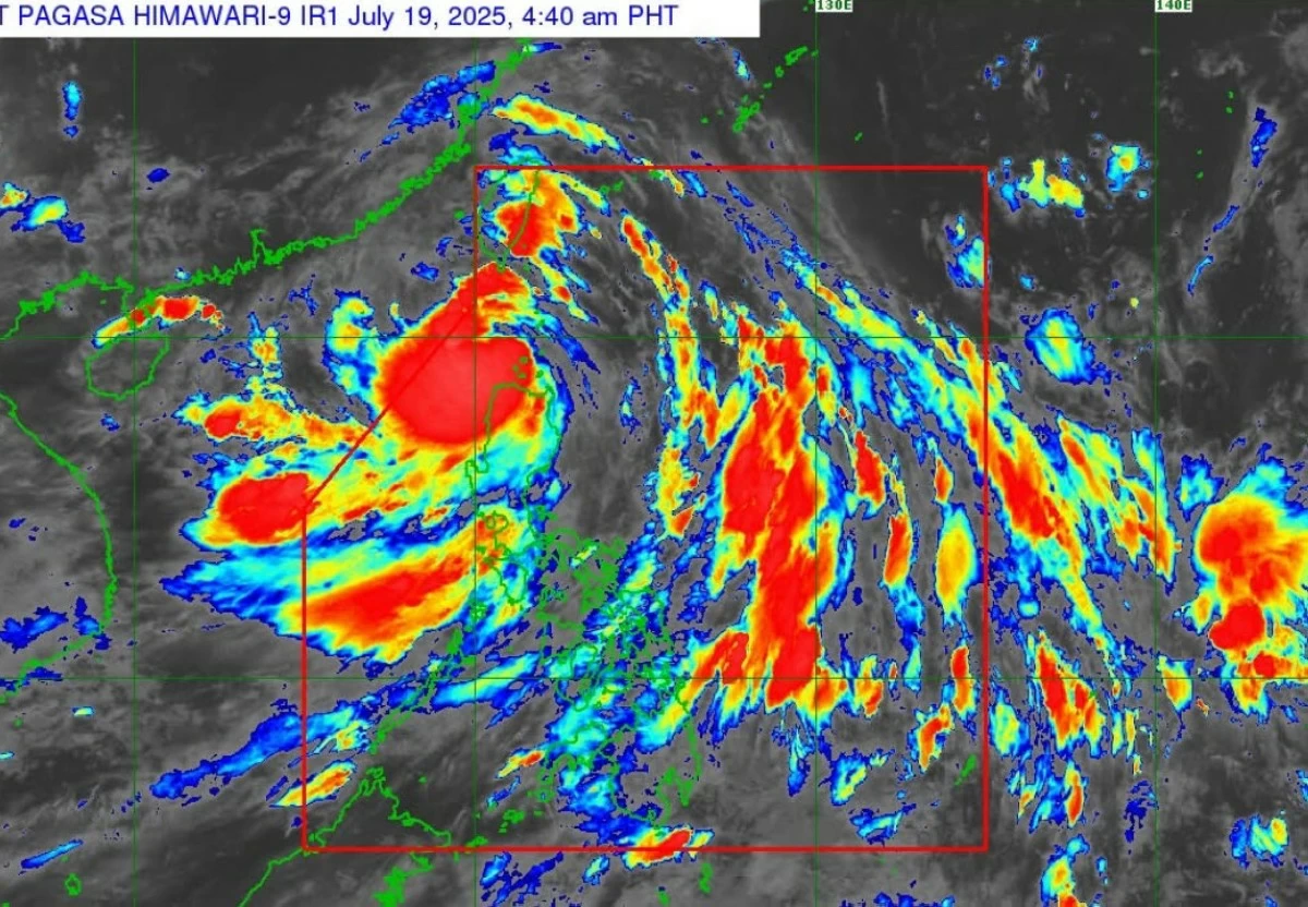
(PHOTO: DOST-PAGASA FACEBOOK PAGE)
Tropical Storm Crising is barreling away from Northern Luzon, but its wide wind field and enhanced monsoon rains continue to slam large parts of the country with dangerous conditions, the Philippine Atmospheric, Geophysical and Astronomical Services Administration (PAGASA) said Saturday morning, July 19.
“Tropical Storm Crising will continue moving generally west northwestward towards southern China and may exit the Philippine Area of Responsibility this morning or early afternoon,” the agency said in its 5 a.m. bulletin.
At 4 a.m., PAGASA said Crising was 125 kilometers west northwest of Calayan, Cagayan, still packing maximum sustained winds of 85 kilometers per hour (kph) and gusts of up to 115 kph.
But even as it heads out, its impacts linger. The state weather bureau added that “Crising is forecast to continue to intensify and may reach Severe Tropical Storm category today.”
PAGASA stated that Tropical Cyclone Wind Signal (TCWS) No. 2 remains in effect over Batanes, parts of Cagayan including the Babuyan Islands, Ilocos Norte, northern and central Apayao, and northeastern Abra. Areas under Signal No. 2 can expect gale-force winds between 62 and 88 kph within 24 hours.
“This means minor to moderate threat to life and property,” the agency said.
Signal No. 1 is hoisted over a broader swath of Luzon, including parts of Isabela, Benguet, La Union, Ilocos Sur, Abra, and the Cordillera.
Local government units have been advised to remain on high alert.
“Persons living in areas identified to be highly or very highly susceptible to these hazards are advised to follow evacuation and other instructions from local officials,” said PAGASA.
Storm surge threat, dangerous seas
According to the agency, a storm surge of up to 2.0 meters could affect coastal communities in Batanes, Cagayan (including the Babuyan Islands), Ilocos Norte, and Ilocos Sur within the next 12 hours.
“There is a minimal to moderate risk of life-threatening storm surge,” PAGASA said, urging residents in low-lying coastal zones to brace for possible flooding.
PAGASA said sea travel remains dangerous, saying waves could reach up to 6.0 meters off the coasts of Batanes and Babuyan Islands.
The seaboards of Cagayan and Ilocos Norte could see waves up to 4.5 meters, it added.
Meanwhile, a gale warning is in place for the northern and eastern seaboards of Northern Luzon.
“Sea travel is risky for all types or tonnage of vessels. All mariners must remain in port or, if underway, seek shelter or safe harbor as soon as possible until winds and waves subside,” PAGASA said.