







La Mesa Dam threatens flooding in low-lying QC areas
By Trixee Rosel
Published Aug 29, 2026 01:48 pm


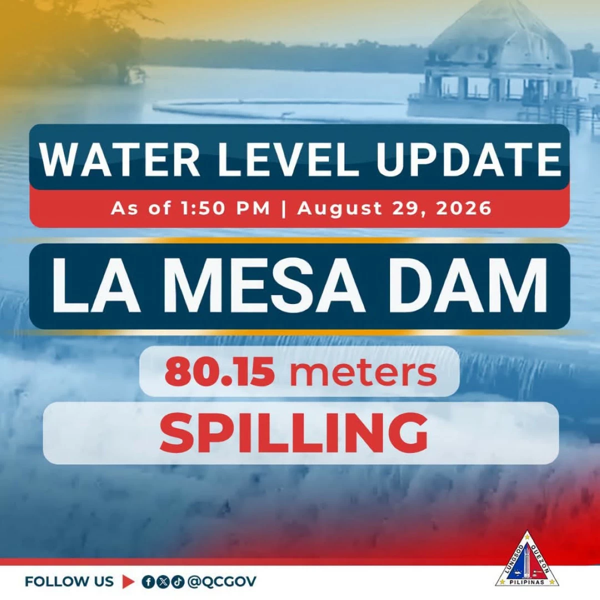
La Mesa Dam reached its spilling level of 80.15 meters at 1:50 p.m. Saturday, raising the threat of flooding in low-lying areas along the Tullahan River in Quezon City amid persistent rains from the southwest monsoon.
The dam’s water level rose from 79.94 meters at noon to 80.15 meters in less than two hours, exceeding its critical level of 79.50 meters.
Among the areas that could be affected by excess water from the dam include Fairview, Forest Hills Subdivision, Quirino Highway, Sta. Quiteria, and San Bartolome.
As a precaution, the city government conducted preemptive evacuation in high-risk areas, with around 130 families temporarily staying at an evacuation center in Barangay Roxas.
The Quezon City Disaster Risk Reduction and Management Department (QCDRRMD) and barangay officials continued to monitor the situation and coordinate responses to residents' needs.
The city government also monitored the Marikina and San Juan rivers, which were placed under Alert Levels 1 and 2, respectively, with water levels at 15.05 meters and 12.76 meters as of noon.
The Quirino monitoring station along the Tullahan River, meanwhile, recorded 38.69 meters and had no alert level.
Possible areas that could be affected by excess water from the Marikina River include Bagong Silangan, Bagumbayan, Batasan Hills, Blue Ridge B, Libis, Matandang Balara, Pansol, and Ugong Norte.
For the San Juan River, these include Lourdes, Sto. Domingo, Santol, Talayan, Roxas, Tatalon, Kalusugan, Doña Imelda, and Damayang Lagi.
The local government urged residents, especially those in low-lying and vulnerable areas, to remain alert and continue monitoring official advisories as "habagat" continues to bring rains over the city.