







Turning 'flood control' to 'flood management'
P1 billion was allocated to the UP Resilience Institute-NOAH CENTER. The institute provides a utilization plan on how the budget will be used.
Published Aug 28, 2026 01:03 pm


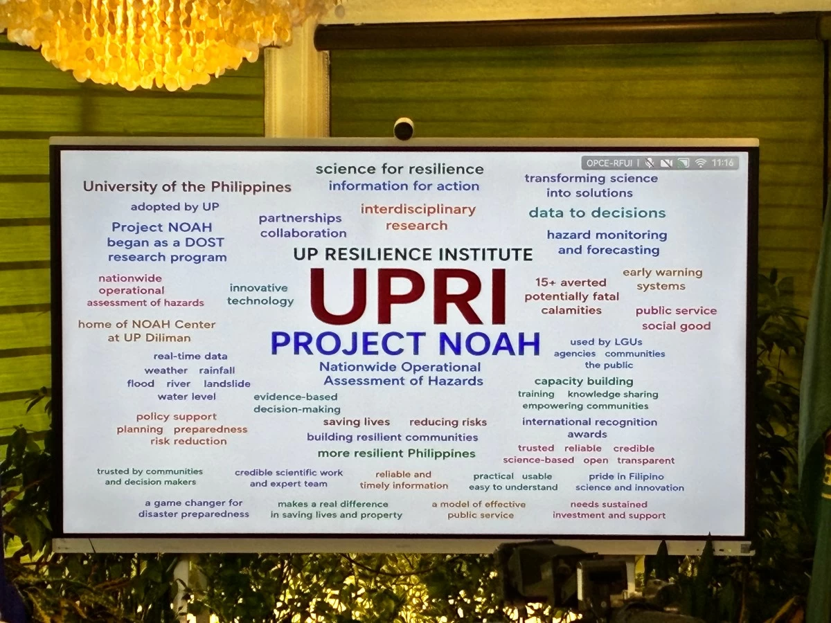
The UP Resilience Institute-NOAH Center believe that it is important to predict floods. You may ask, why make such predictions when most Filipinos already know where it floods? Why not just focus on making solutions? According to the institute, prediction is understanding the problem. If solutions are applied without fully understanding the problem, it is possible the said problems will be underestimated, and the solutions produced are not suited in handling the problem.
With the P1 billion allocation, the UP Resilience Institute-NOAH Center will strengthen the country’s capacity to generate, manage, communicate, and apply scientific information for disaster risk reduction, flood management, environmental protection, and climate resilience.
The allocation builds on existing accomplishments in hazard mapping, flood intelligence, resilience education, technical assistance, government partnerships, and open access to disaster-risk data and information.
Rather than a stand-alone project fund, the budget will expand systems that translate research into practical information for better public investment decisions. This approach recognizes that resilience requires the integration of natural systems, scientific data, and evidence-based governance.
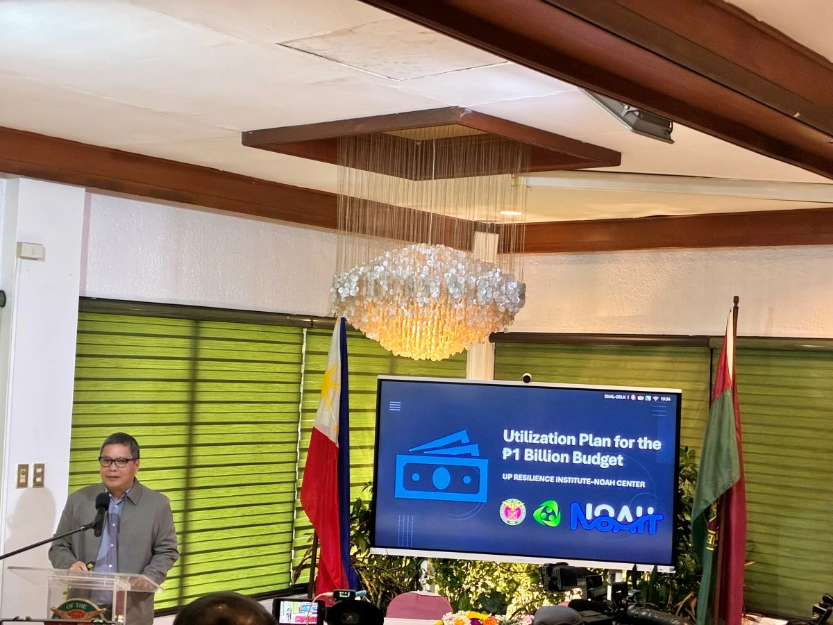
Alfredo Mahar Lagmay, executive director, University of the Philippines Resilience Institute (UPRI), Diliman
The appropriation is consistent with Republic Act No. 9500, or the UP Charter of 2008, which mandates the University to provide scholarly and technical assistance to government, the private sector, and civil society. The funding therefore rests on UP’s legal mandate to advance research, public service, and national development.
Areas for Budget Utilization
High-resolution mapping of major river basins. UPRI-NOAH will update major river-basin maps using advanced geospatial technologies, producing hazard maps with up to one-by-one-meter pixel resolution. Detailed information on waterways, floodplains, land use, watersheds, infrastructure, and exposed communities will support hazard assessments, land-use planning, and preparedness.
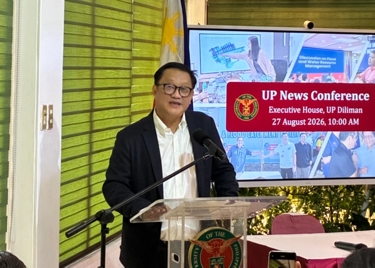
Atty. Angelo Jimenez, president of the University of the Philippines
Support for Oplan Kontra Baha. In cooperation with the Department of Public Works and Highways, the Metropolitan Manila Development Authority, local governments, and the private sector, UPRI-NOAH will integrate watershed science, flood modeling, terrain, infrastructure, and local knowledge to identify appropriate structural and non-structural solutions.
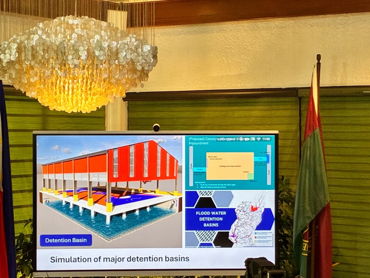
Simulation of major detention basins. Simulations will integrate surface and subsurface flow of water to assess storage capacity of detention basins, drainage connectivity, downstream effects, and performance under extreme rainfall and future climate conditions, guiding flood-control planning, operations, maintenance, and investment.
LiDAR drone surveys with state colleges and universities. Knowledge co-creation with state colleges and universities will include topographic surveys using LiDAR-equipped drones. There will be capacity building programs to train faculty, researchers, and students, while strengthening regional geospatial and resilience-planning capabilities.
Native-tree mapping and tree inventory. Mapping and inventories will document native trees and their environmental value, supporting carbon-credit development, carbon accounting, biodiversity conservation, watershed protection, ecological restoration, urban greening, and flood management.
Sediment erosion and delivery assessment. Watershed assessments will estimate soil loss, sediment delivery, and sediment yield using rainfall, soil, topography, land cover, and conservation factors. Results will identify rehabilitation priorities and potential impacts on waterways, detention basins, drainage, and flood-management infrastructure.
Mapping hidden waterways and undocumented drainage paths. Identifying buried, altered, diverted, or undocumented waterways will improve flood modeling and guide urban planning, drainage improvement, infrastructure design, restoration, and emergency response.
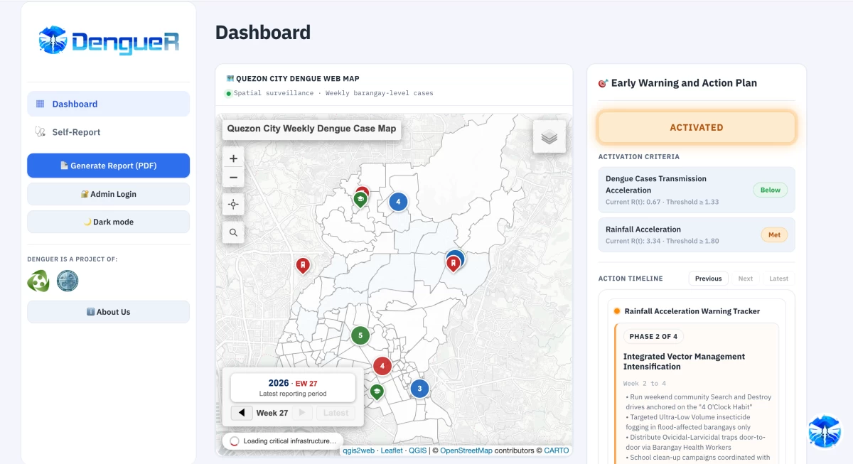
Nature-based solutions. Watershed rehabilitation, wetland and floodplain restoration, urban green spaces, permeable surfaces, and tree planting will complement necessary structural measures while supporting biodiversity, carbon sequestration, water quality, erosion control, and stormwater retention.
Artificial Intelligence for Disaster Management. The Institute will harness artificial intelligence and advanced analytics to develop decision-support tools that generate actionable information for land-use and infrastructure planning, environmental management, and risk analysis. These will be integrated and analyzed alongside historical disaster data to identify patterns useful for the assessment of risk.
These systems may support identification of vulnerable communities, forecasting, early warning, exposure assessment, and prioritization of interventions. AI-assisted benefit-cost assessment will help decision-makers compare projects and identify interventions that are effective, sustainable, financially justified, and capable of protecting the greatest number of people.
Transparency and Accountability
Every major expenditure will be connected to a defined program, public purpose, implementation plan, technical outputs, measurable indicators, and monitoring and evaluation. Budget implementation will follow applicable procurement and auditing requirements. The UP System will document and monitor fund disbursements.
Building on UPRI-NOAH Accomplishments
UPRI-NOAH provides nationwide hazard information covering floods, landslides, storm surges, tsunamis, and coastal hazards. A United Nations Development Programme study found that approximately 59.7 percent of local government units utilize NOAH datasets and analytical tools. The NOAH platform has served more than 3.2 million users, recorded approximately 12.9 million location searches in 2025, and reached as many as 2.3 million engagements in a single day.
With the UP Open University, the Institute developed free Basics of Resilience online courses, reaching approximately 117,000 enrollees since program inception and 45,000 finishers over the span of two years. Microcredentials, advanced courses, professional training, master’s programs, and partnerships with state colleges and universities strengthen resilience education and regional technical capacity.
Partnerships with government agencies, local governments, universities, and communities support forecasting, risk assessment, drainage and flood studies, and operational flood intelligence. Multidisciplinary Quick Response Teams conduct field investigations, drone mapping, geospatial analysis, and engineering assessments to support disaster response, recovery, and rehabilitation.
Looking Ahead
UPRI-NOAH will expand the coverage, resolution, accuracy, and usefulness of its services; strengthen public education and graduate programs; develop innovative technologies; and connect research more closely with government planning and investment decisions. Long-term collaboration among universities, government, civil society, industry, international organizations, and communities will combine scientific expertise, local knowledge, sound governance, and public participation.
The ₱1 billion allocation will be measured by better information, transparency, evidence-based decisions, effective flood management, and reduced disaster risks and losses. Through innovation, education, partnerships, and public service, UPRI-NOAH will continue to transform scientific knowledge into practical action that protects lives and helps build safer, more resilient, and sustainable communities.