






Manila Bulletin
 Philippines
National
La Mesa Dam water level drops below overflow elevation; PAGASA maintains flood warning
Philippines
National
La Mesa Dam water level drops below overflow elevation; PAGASA maintains flood warning
Philippines
National
La Mesa Dam water level drops below overflow elevation; PAGASA maintains flood warning
La Mesa Dam water level drops below overflow elevation; PAGASA maintains flood warning
Published Aug 11, 2026 05:42 pm


At A Glance
- As of 5 p.m. Tuesday, Aug. 11, the water level at La Mesa Dam in Quezon City was 79.99 meters, below its 80.15-meter overflow elevation, according to the Philippine Atmospheric, Geophysical and Astronomical Services Administration (PAGASA).
- La Mesa Dam reached 80.17 meters at 5 p.m. Monday, Aug. 10 due to incessant monsoon rains, exceeding its 80.15-meter overflow elevation.
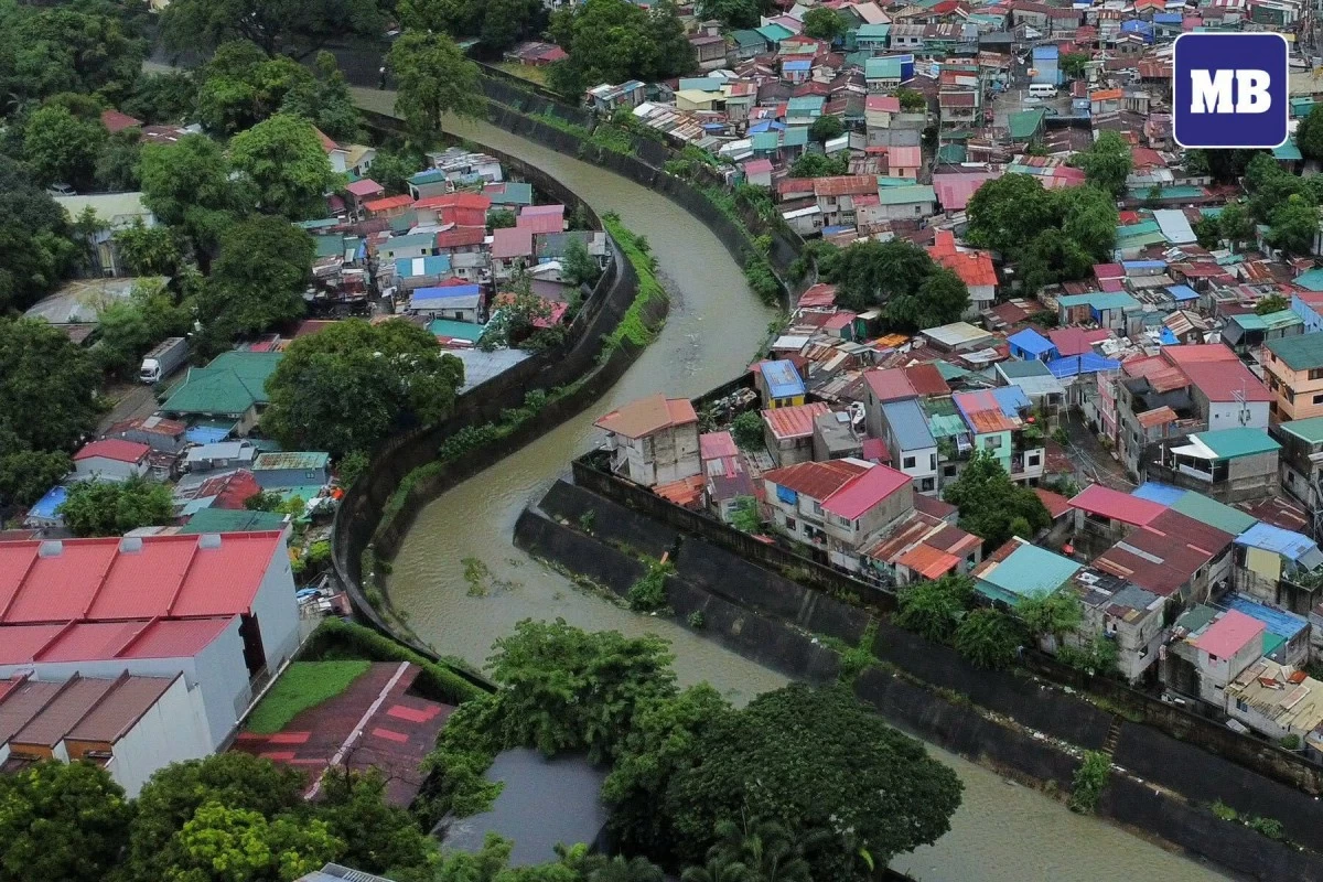
(Santi San Juan/Manila Bulletin)
La Mesa Dam’s water level fell below the critical threshold on Tuesday, Aug. 11, but residents in low-lying areas along the Tullahan River were still urged to take precautions against possible flooding.
As of 5 p.m., the water level at La Mesa Dam in Quezon City was 79.99 meters, below its 80.15-meter overflow elevation, according to the Philippine Atmospheric, Geophysical and Astronomical Services Administration (PAGASA).
“All residents living in the aforementioned areas, especially those near the river banks, are still advised to take necessary precautionary measures,” PAGASA said.
PAGASA said excess floodwaters from La Mesa Dam flow directly into the Tullahan River, which could affect low-lying areas in Quezon City, including Fairview, Forest Hills Subdivision, Quirino Highway, Sta. Quiteria, and San Bartolome; Caloocan City; Valenzuela, including North Expressway and La Huerta Subdivision; Malabon, and Navotas.
La Mesa Dam reached 80.17 meters at 5 p.m. Monday, Aug. 10 due to incessant monsoon rains, exceeding its 80.15-meter overflow elevation.
PAGASA said it would continue monitoring the hydrological condition of La Mesa Dam and provide updates to concerned agencies and local government units.