







Several areas in Taguig flooded


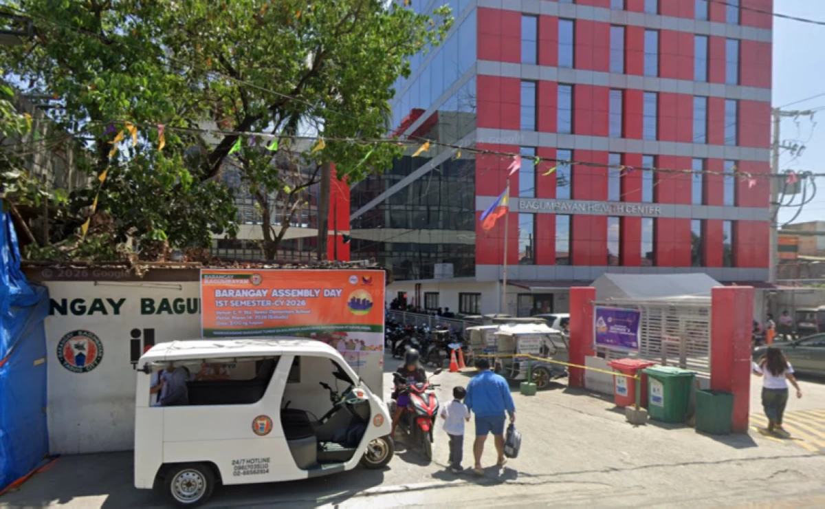
The Taguig City government has identified several areas that are flooded amid the heavy rains brought about by tropical storm “Maymay.”
As of 8 a.m. on Aug. 6, the flooded areas in Taguig are:
• Springlane, Barangay San Miguel: Ankle-deep (0.10 m)
• Bagong Silang, Pulo 1 & 2, Barangay Hagonoy: Ankle-Deep (0.10 m)
• 104, 110, 122, Moonlight, Mercado Compound MLQ Avenue, Barangay Hagonoy: below-the-knee deep (0.25 m)
• Kalaw Compound, Barangay Bagumbayan: Ankle-deep (0.10 m)
• Centurion corner Wiper Street, Barangay Post Proper Southside: Ankle-deep (0.10 m)
The city government said clearing operations are being conducted.
The passable areas with no flooding in Taguig are:
• C5 Road
• C5 Service Road
• Laguna Lake Highway (C6 Road)
• Lawton Avenue
• Cayetano Boulevard
• Bayani Road
• General Santos Avenue
• East Service Road
• West Service Road
• JP. Rizal
• JP. Rizal Extension
• C5 Kalayaan
• Kalayaan Avenue
• Sampaguita Street, Pembo
The city government advised people to avoid unnecessary travel in flooded streets.
“The City of Taguig continues to monitor road conditions and carry out flood control and clearing operations to keep roads safe and passable,” it said.