






Manila Bulletin
 Philippines
National
LPA inside PAR dissipates; another LPA unlikely to become tropical cyclone
Philippines
National
LPA inside PAR dissipates; another LPA unlikely to become tropical cyclone
Philippines
National
LPA inside PAR dissipates; another LPA unlikely to become tropical cyclone
LPA inside PAR dissipates; another LPA unlikely to become tropical cyclone
Published Jul 30, 2026 10:24 am


At A Glance
- Weather conditions are expected to improve in areas earlier affected by the LPA following its dissipation.
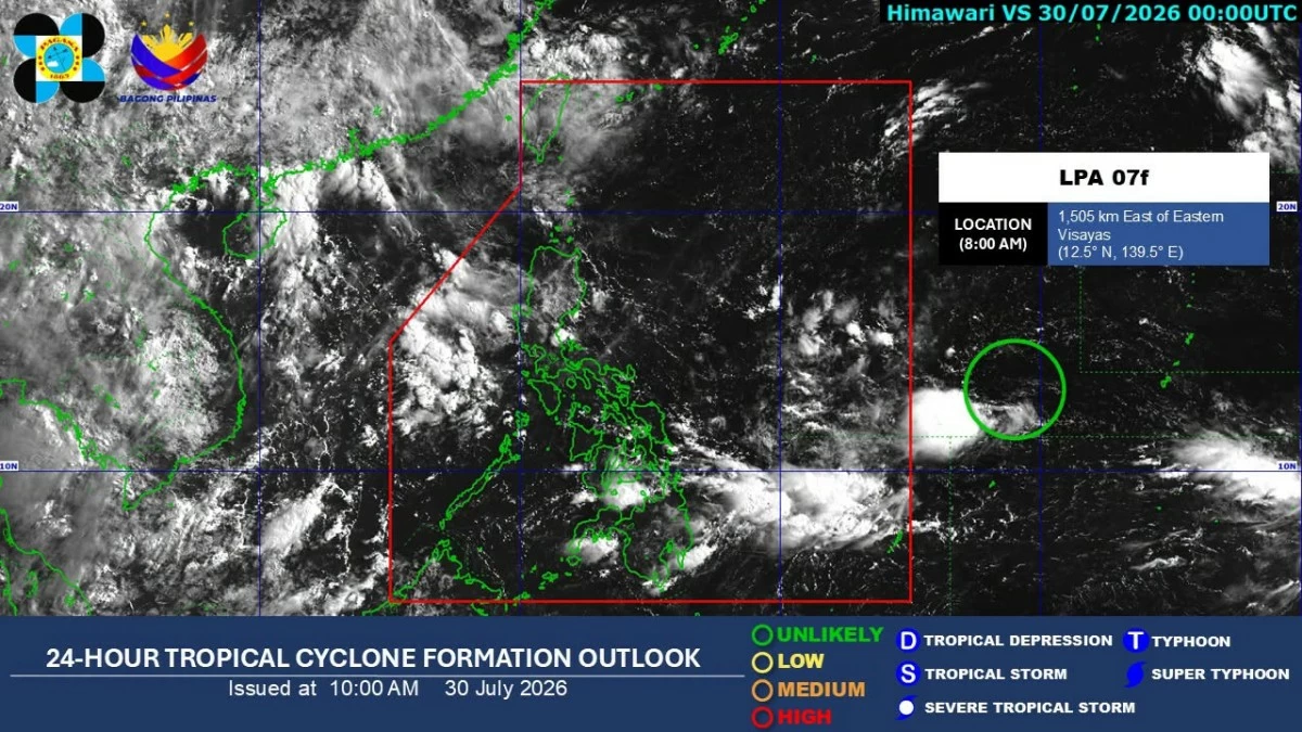
- Meanwhile, another low-pressure area is expected to remain over the sea in the next few days and is not expected to develop into a tropical cyclone within the next 24 hours.
PAGASA
The low-pressure area (LPA) that crossed Southern Luzon has dissipated on Thursday morning, July 30, after bringing scattered rains over parts of the country, the Philippine Atmospheric, Geophysical and Astronomical Services Administration (PAGASA) said.
Weather conditions are expected to improve in areas earlier affected by the LPA following its dissipation.
Meanwhile, PAGASA weather specialist Leanne Loreto said another LPA outside the Philippine Area of Responsibility (PAR) was last located 1,615 kilometers east of Eastern Visayas.
She said the weather disturbance is expected to remain over the sea in the next few days and is not expected to develop into a tropical cyclone within the next 24 hours.
It may dissipate in the succeeding days without affecting any part of the country, she added.
In its 5 a.m. bulletin, PAGASA said only Metro Manila, Ilocos Region, Cordillera Administrative Region, Central Luzon, and Calabarzon may experience scattered rains and thunderstorms.
The easterlies, or warm winds from the Pacific Ocean, may also bring scattered rains and thunderstorms over Cagayan Valley.
The rest of the country will have partly cloudy skies with chances of rain showers or thunderstorms due to localized thunderstorm activity.