







TS 'Kiyapo' makes landfall in Cagayan — PAGASA
Published Jul 24, 2026 03:25 pm


At A Glance
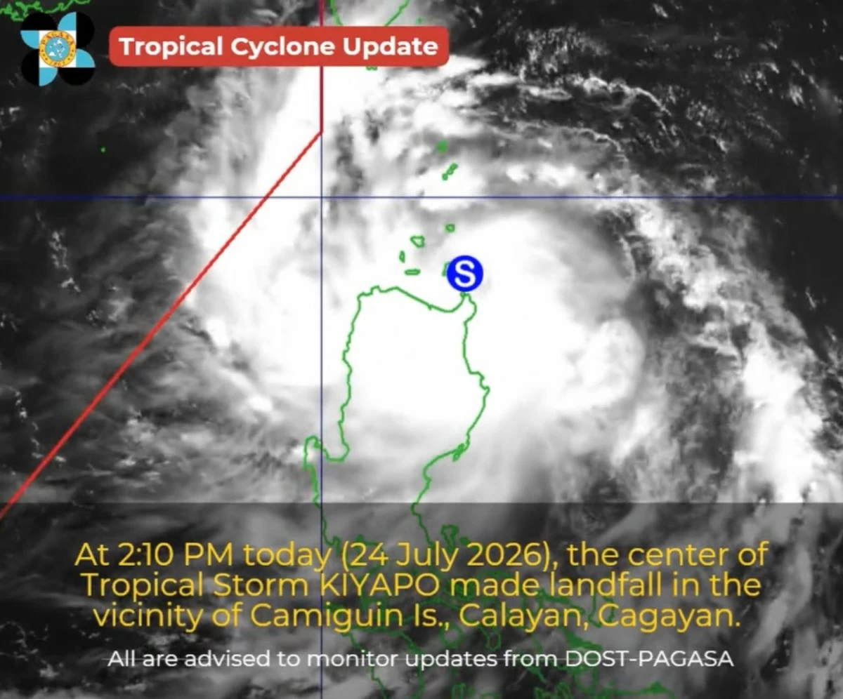
- PAGASA said the center of Kiyapo made landfall at around 2:10 p.m., Friday, July 24.
- Kiyapo is expected to move across the northern Philippines and emerge over the Luzon Strait before moving away from the Philippine Area of Responsibility by Saturday morning, July 25.
PAGASA
Tropical Storm Kiyapo (international name “Noul”) made landfall in the vicinity of Camiguin Island in Calayan, Cagayan, on Friday afternoon, July 24, the Philippine Atmospheric, Geophysical and Astronomical Services Administration (PAGASA) said.
PAGASA said the center of Kiyapo made landfall at around 2:10 p.m.
The storm was packing maximum sustained winds of 75 kilometers per hour (kph) near the center and gustiness of up to 90 kph as it moved west-northwestward at 25 kph.
Kiyapo is expected to bring heavy rains and strong winds over parts of Northern Luzon as it traversed the area.
PAGASA also warned that Tropical Cyclone Wind Signal No. 3 could still be raised if the storm intensified into a severe tropical storm while crossing the Batanes-Babuyan Islands area.
Under the latest wind signal bulletin, areas under Tropical Cyclone Wind Signal No. 2 included Batanes, the northern portion of Cagayan (Santa Ana, Gonzaga, Santa Teresita, Camalaniugan, Aparri, Ballesteros, Abulug, Pamplona, Sanchez-Mira, Claveria, Santa Praxedes, Buguey, Allacapan, Lal-Lo, Gattaran, Baggao, Lasam) including Babuyan Islands, the northern portion of Apayao (Luna, Santa Marcela, Calanasan, Pudtol, Flora), and the northern portion of Ilocos Norte (Pagudpud, Dumalneg, Adams, Bangui, Burgos, Vintar).
Kiyapo is expected to move across the northern Philippines and emerge over the Luzon Strait before moving away from the Philippine Area of Responsibility by Saturday morning, July 25.