






Manila Bulletin
 Philippines
National
'Habagat' likely to re-strengthen late next week as potential LPA develops east of Luzon
Philippines
National
'Habagat' likely to re-strengthen late next week as potential LPA develops east of Luzon
Philippines
National
'Habagat' likely to re-strengthen late next week as potential LPA develops east of Luzon
'Habagat' likely to re-strengthen late next week as potential LPA develops east of Luzon
Published Jul 17, 2026 12:53 pm


At A Glance
- A monsoon break is currently prevailing, bringing generally fair weather conditions across most parts of the country.
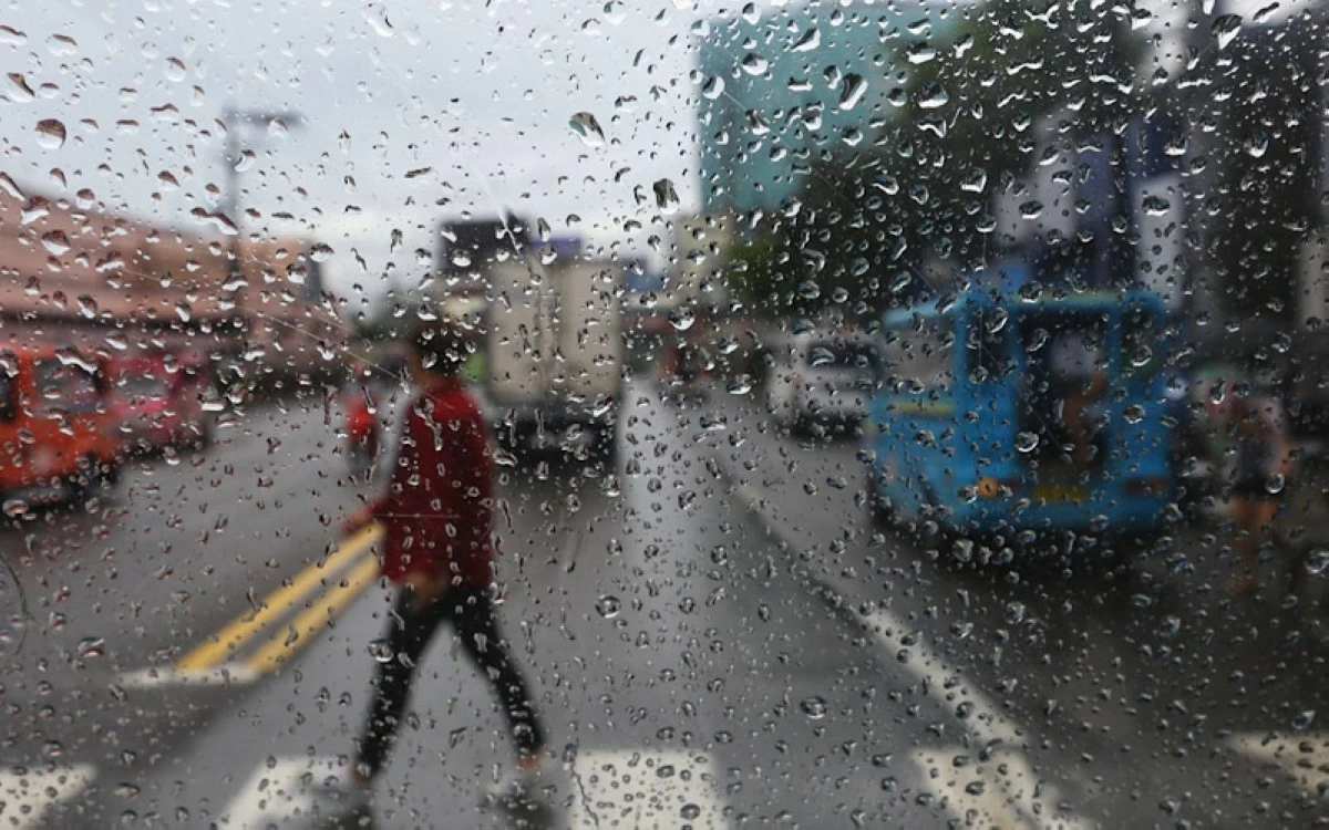
(Keith Bacongco/Manila Bulletin file)
The southwest monsoon or “habagat” is expected to re-strengthen toward the latter part of next week as a low-pressure area (LPA) or tropical cyclone may develop east of Luzon, the Philippine Atmospheric, Geophysical and Astronomical Services Administration (PAGASA) said in its weekly weather outlook released on Friday, July 17.
A monsoon break is currently prevailing, bringing generally fair weather conditions across most parts of the country.
On Saturday, July 18, and Sunday, July 19, PAGASA said cloudy skies with scattered rains and thunderstorms are expected over Ilocos Region, Zambales, and Bataan due to the weak habagat.
Meanwhile, the rest of the country will have generally fair weather conditions, except for isolated rain showers or thunderstorms.
From Monday to Wednesday, July 20 to 22, PAGASA said the habagat's influence will shift toward the western sections of Southern Luzon, Visayas, and Mindanao.
During this period, Pangasinan, Zambales, Bataan, Cavite, Batangas, Occidental Mindoro, Palawan, Western Visayas, Negros Island Region, Zamboanga Peninsula, and Bangsamoro Autonomous Region in Muslim Mindanao may experience scattered rains and thunderstorms.
The rest of the country will have partly cloudy to cloudy skies apart from isolated rain showers or thunderstorms.
By Thursday and Friday, July 23 and 24, PAGASA said the potential LPA or tropical cyclone east of Luzon may enhance the habagat, bringing scattered rains and thunderstorms over Palawan, Masbate, Sorsogon, and most of Visayas and Mindanao.
The rest of Luzon will continue to experience partly cloudy to cloudy skies with a chance of isolated rain showers or thunderstorms.