


PAGASA lifts Signal No. 1 as 'Henry' nears PAR exit
Published Jul 1, 2026 11:31 am


At A Glance
- PAGASA said Tropical Depression Henry may exit the Philippine Area of Responsibility (PAR) by Wednesday evening or early Thursday morning.
- A final bulletin was issued on the combined effects of Henry and the southwest monsoon, or "habagat," as they are now less likely to bring significant rainfall over the western section of Southern Luzon.
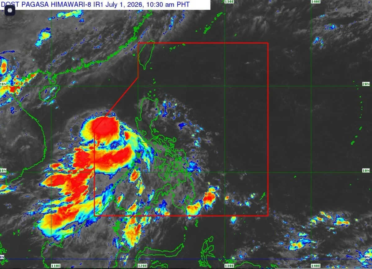
Satellite image of Tropical Depression Henry (Courtesy of PAGASA)
The Philippine Atmospheric, Geophysical and Astronomical Services Administration (PAGASA) lifted Tropical Cyclone Wind Signal No. 1 on Wednesday, July 1, as Tropical Depression “Henry” moved away from the country's landmass.
In its 11 a.m. advisory, PAGASA also issued its final bulletin on the combined effects of Henry and the southwest monsoon, or “habagat,” saying they are now less likely to bring significant rainfall over the western section of Southern Luzon.
However, scattered rains and thunderstorms may still affect Zambales, Bataan, Cagayan, Isabela, Batangas, Oriental Mindoro, Occidental Mindoro, Marinduque, Romblon, Palawan, Basilan, Tawi-Tawi, Western Visayas, Negros Island Region, Zamboanga Peninsula, within the next 24 hours.
PAGASA said its regional services divisions will continue issuing thunderstorm advisories, rainfall advisories, and heavy rainfall warnings as needed.
As of 10 a.m., the center of Henry was estimated at 240 kilometers west southwest of Abucay, Bataan, with maximum sustained winds of 45 kilometers per hour (kph) near the center and gustiness of up to 55 kph.
It was moving westward at 25 kph.
Strong wind gusts
Although all tropical cyclone wind signals have been lifted, PAGASA said the outer circulation of Henry and the southwest monsoon may still bring strong to gale-force wind gusts, particularly in coastal and mountainous areas exposed to prevailing winds.
On Wednesday, these gusts may affect Batanes, Cagayan, Ilocos Norte, Pangasinan, Zambales, Bataan, Tarlac, Nueva Ecija, Pampanga, Bulacan, Metro Manila, Cavite, Laguna, Batangas, Rizal, Quezon, Oriental Mindoro, Occidental Mindoro, Marinduque, Romblon, and Palawan.
On Thursday, July 2, strong to gale-force gusts may continue over Batanes, Cagayan, Pangasinan, Zambales, Bataan, and Palawan.
Similar conditions are expected on Friday, July 3, over Batanes, Cagayan, Pangasinan, Zambales, and Palawan.
PAGASA also advised small vessels, particularly motorbancas, to exercise caution or avoid sailing over affected coastal waters where waves may reach up to 2.5 meters.
PAR exit
The weather bureau said Henry is expected to move generally west-northwestward while continuing to move away from the country’s landmass.
It may exit the Philippine Area of Responsibility (PAR) by Wednesday evening or early Thursday morning.
Henry is also expected to gradually intensify over the West Philippine Sea and may reach tropical storm category by Thursday evening before maintaining its strength through the rest of the forecast period.