


Manila Bulletin
 Philippines
National
LPA or tropical cyclone may affect the Philippines early next week
Philippines
National
LPA or tropical cyclone may affect the Philippines early next week
Philippines
National
LPA or tropical cyclone may affect the Philippines early next week
LPA or tropical cyclone may affect the Philippines early next week
Published Jun 26, 2026 04:42 pm


At A Glance
- PAGASA said the potential low-pressure area or tropical cyclone may bring scattered rains and thunderstorms over Bicol Region, Central Visayas, Eastern Visayas, Caraga, and Quezon Province by June 29.
PAGASA
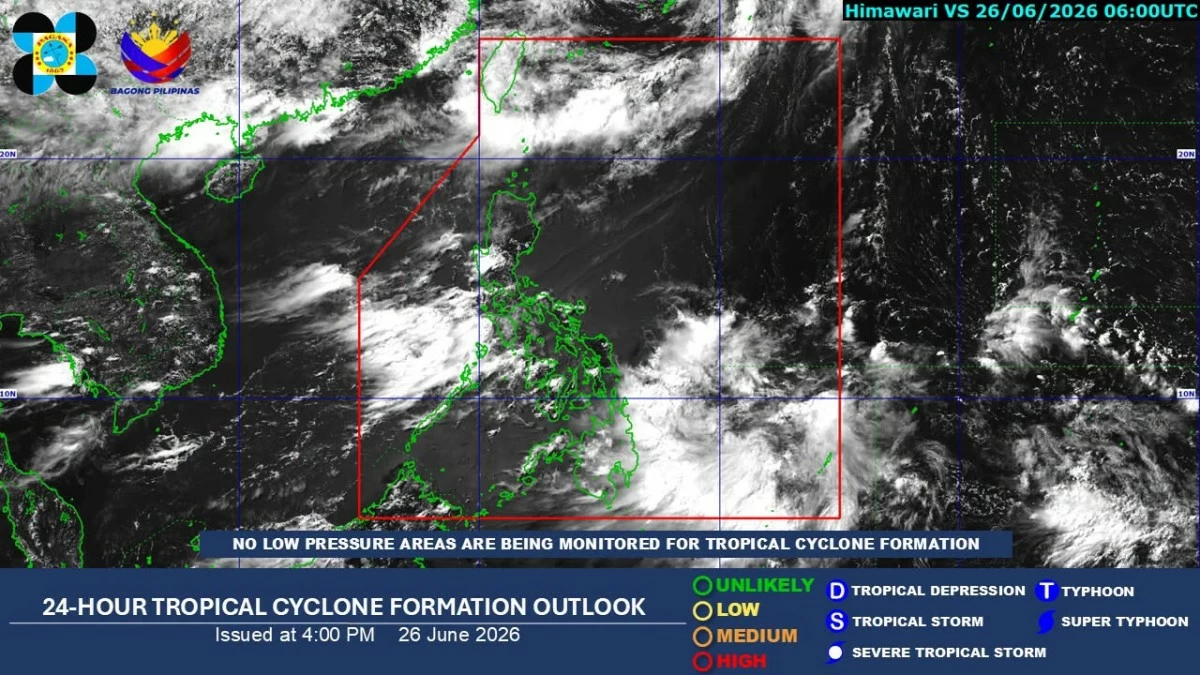
The Philippine Atmospheric, Geophysical and Astronomical Services Administration (PAGASA) on Friday, June 26 said it is monitoring a potential weather disturbance that may affect the country by Monday, June 29.
In its weather outlook for June 26 to July 3, PAGASA said the southwest monsoon, or “habagat,” and the Intertropical Convergence Zone (ITCZ) will be the dominant weather systems in the country through the weekend.
From June 27 to 28, habagat will bring cloudy skies with scattered rains and thunderstorms over Metro Manila, Ilocos Region, Central Luzon, and Southern Luzon.
Cloudy skies with scattered rains and thunderstorms are also expected over Surigao del Sur and Davao Oriental due to the ITCZ.
The rest of the country will experience partly cloudy to cloudy skies with isolated rain showers or thunderstorms.
By June 29, PAGASA said the potential low-pressure area (LPA) or tropical cyclone may bring scattered rains and thunderstorms over Bicol Region, Central Visayas, Eastern Visayas, Caraga, and Quezon Province.
From June 30 to July 1, PAGASA said the combined effects of the weather disturbance and habagat may bring cloudy skies with scattered rains and thunderstorms over most of Luzon and Visayas.
Mindanao will generally have partly cloudy to cloudy skies with possible afternoon or evening rain showers or thunderstorms.
From July 2 to 3, habagat is expected to prevail over the western sections of Central and Southern Luzon and bring cloudy skies with scattered rains and thunderstorms over Metro Manila, Southern Luzon, Zambales, and Bataan.
The rest of the country will experience partly cloudy to cloudy skies with possible localized rain showers or thunderstorms.