






Manila Bulletin
 Philippines
National
No LPA or tropical cyclone monitored near PAR, but thunderstorms persist nationwide — PAGASA
Philippines
National
No LPA or tropical cyclone monitored near PAR, but thunderstorms persist nationwide — PAGASA
Philippines
National
No LPA or tropical cyclone monitored near PAR, but thunderstorms persist nationwide — PAGASA
No LPA or tropical cyclone monitored near PAR, but thunderstorms persist nationwide — PAGASA
By Jel Santos
Published Jun 13, 2026 02:02 pm


At A Glance
- The state weather bureau noted that thunderstorm activities were being observed in several areas nationwide.
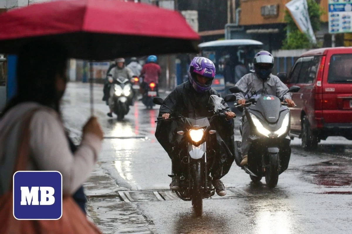
(MB FILE PHOTO)
The Philippine Atmospheric, Geophysical and Astronomical Services Administration (PAGASA) said on Saturday, June 13, that no low-pressure area (LPA) or tropical cyclone is being monitored within or near the Philippine Area of Responsibility (PAR), although localized thunderstorms continue to affect various parts of the country.
PAGASA weather specialist Veronica Torres said the easterlies, or warm winds coming from the Pacific Ocean, remain the dominant weather system affecting the eastern sections of Southern Luzon, Visayas, and Mindanao.
“‘Yung easterlies o ‘yung mainit na hanging galing Karagatang Pasipiko ay patuloy ang epekto sa silangang bahagi ng Southern Luzon, silangang bahagi ng Visayas, at silangang bahagi rin ng Mindanao (The easterlies, or warm winds coming from the Pacific Ocean, continue to affect the eastern portions of Southern Luzon, the eastern sections of the Visayas, and the eastern portions of Mindanao),” she said.
The state weather bureau noted that thunderstorm activities were being observed in several areas nationwide.
“Makikita nga natin sa satellite image natin ‘yung thunderstorm activities sa iba’t ibang bahagi ng ating bansa (We can see from our satellite images thunderstorm activities occurring in different parts of the country),” the weather specialist said.
Despite the thunderstorm activity, PAGASA said it is not monitoring any LPA or tropical cyclone within or near the PAR.
“Sa ngayon, wala naman tayong na-mo-monitor na low-pressure area o bagyo sa loob o malapit sa ating Philippine Area of Responsibility (At present, we are not monitoring any low-pressure area or tropical cyclone within or near our Philippine Area of Responsibility),” said Torres.