


Manila Bulletin
 Philippines
National
Habagat to bring up to 100 mm of rain over Metro Manila, several Luzon provinces—PAGASA
Philippines
National
Habagat to bring up to 100 mm of rain over Metro Manila, several Luzon provinces—PAGASA
Philippines
National
Habagat to bring up to 100 mm of rain over Metro Manila, several Luzon provinces—PAGASA
Habagat to bring up to 100 mm of rain over Metro Manila, several Luzon provinces—PAGASA
By Jel Santos
Published Jun 2, 2026 10:30 am
|
Updated Jun 2, 2026 01:52 pm


At A Glance
- Despite the absence of a tropical cyclone, PAGASA said that moderate to heavy rains are possible in several areas due to the habagat.
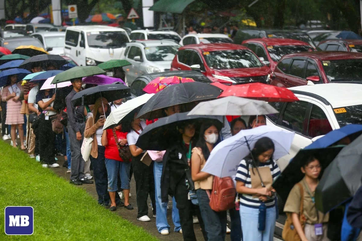
(MB FILE PHOTO)
The southwest monsoon or habagat may bring up to 100 millimeters (mm) of rainfall over Metro Manila and several provinces in Luzon on Wednesday, June 3, the Philippine Atmospheric, Geophysical and Astronomical Services Administration (PAGASA) said.
PAGASA weather specialist Veronica Torres said the weather system remains the dominant weather disturbance affecting the country after Tropical Storm Domeng (international name: Jangmi) exited the Philippine Area of Responsibility (PAR).
“Ang southwest monsoon o habagat ay nakakaapekto na ngayon sa Luzon at sa may kanlurang bahagi ng Visayas (The southwest monsoon or habagat is now affecting Luzon and the western portion of the Visayas),” Torres reported on Tuesday, June 3.
“Itong southwest monsoon [ay] nagpapaulan pa rin sa malaking bahagi ng Luzon at ilang bahagi ng Visayas area (The southwest monsoon continues to bring rains over a large part of Luzon and some areas of the Visayas),” she added.
Despite the absence of a tropical cyclone, PAGASA said that moderate to heavy rains are possible in several areas due to the habagat.
“Bukas naman, 50 to 100 mm na pag-ulan ay posible sa may Occidental Mindoro, Batangas, Cavite, Metro Manila, Bulacan, Pampanga, Bataan, Zambales, Tarlac, pati na rin sa may Pangasinan (Tomorrow, 50 to 100 millimeters of rainfall is possible over Occidental Mindoro, Batangas, Cavite, Metro Manila, Bulacan, Pampanga, Bataan, Zambales, Tarlac, and Pangasinan),” said Torres.
The state weather bureau warned that such rainfall could trigger flooding and landslides in vulnerable areas.
“Kapag 50 to 100 mm ‘yung mga pag-ulan, ‘yung pagbaha ay posible sa mga areas na urbanized, low-lying, at malapit sa river. At ang landslide ay posible sa mga landslide-prone areas (When rainfall reaches 50 to 100 millimeters, flooding is possible in urbanized, low-lying, and riverside areas, while landslides may occur in landslide-prone areas),” Torres said.
Likewise, she noted that Domeng had already left the PAR and that PAGASA is not monitoring any tropical cyclone or low-pressure area within or near the country’s area of responsibility.
“Samantalang ‘yung mino-monitor nating bagyo noong mga nakaraang araw na pumasok sa ating Philippine Area of Responsibility na binigyan natin ng local name na Domeng ay lumabas na nga ng ating PAR kahapon ng 11:30 a.m. (Meanwhile, the tropical cyclone we had been monitoring in recent days, which entered the Philippine Area of Responsibility and was given the local name Domeng, exited the PAR yesterday at 11:30 a.m.),” Torres said.
“Kaya sa ngayon, wala na tayong mino-monitor na low-pressure area or bagyo sa loob or malapit sa ating PAR (As of now, we are not monitoring any low-pressure area or tropical cyclone within or near the PAR).”