








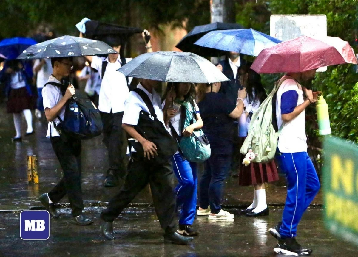
(MB FILE PHOTO)
The Philippine Atmospheric, Geophysical and Astronomical Services Administration (PAGASA) on Saturday, May 30, said Severe Tropical Storm Domeng (international name: Jangmi) has intensified into a typhoon while being monitored inside the Philippine Area of Responsibility (PAR).
In an advisory issued at 2 p.m., PAGASA said Domeng strengthened into a typhoon as it continued moving over the Philippine Sea east of Northern Luzon.
As of 3 p.m., the state weather bureau said the center of the eye of Typhoon Domeng was estimated at 815 kilometers east of Northern Luzon.
It noted that the weather disturbance was packing maximum sustained winds of 120 kilometers per hour (kph) near the center and gusts of up to 150 kph while moving northwestward at 20 kph.
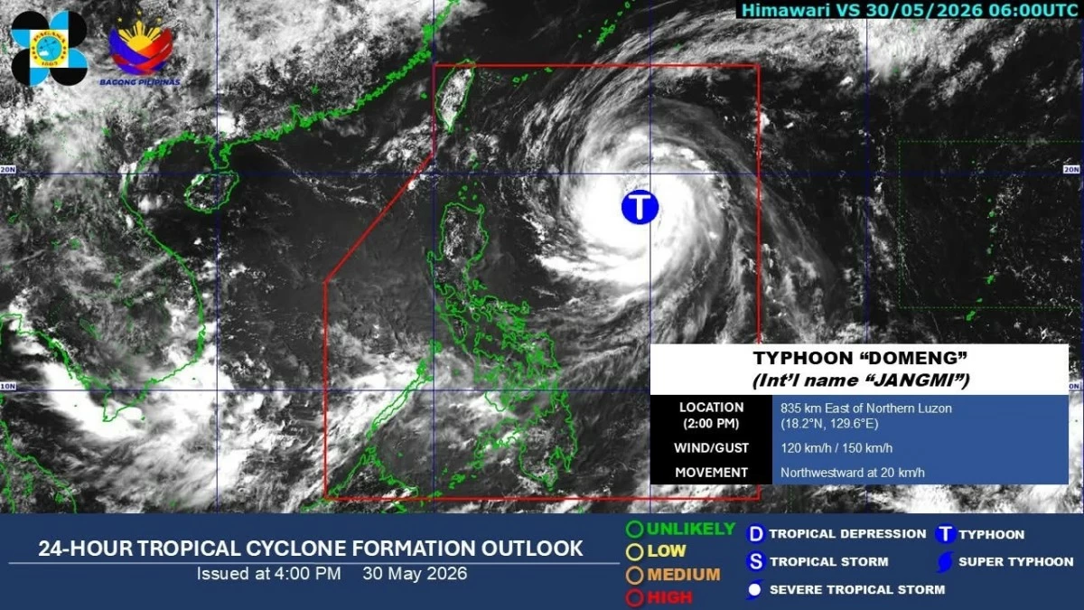
(DOST-PAGASA)
PAGASA said the southwest monsoon or "habagat" continues to affect Visayas, Mindanao, and the western section of Southern Luzon.
Due to the southwest monsoon, the agency said MIMAROPA, Western Visayas, the Negros Island Region, Zamboanga Peninsula, the Bangsamoro Autonomous Region in Muslim Mindanao (BARMM), Batangas, and Lanao del Norte may experience cloudy skies with scattered rains and thunderstorms.
Meanwhile, Batanes, Cagayan, Isabela, Aurora, and Quezon may experience cloudy skies with scattered rains and thunderstorms due to the trough of Typhoon Domeng, it added.
PAGASA warned of possible flash floods or landslides in affected areas due to moderate to heavy rains.