






Manila Bulletin
 Philippines
National
LPA outside PAR has 'medium chance' of becoming tropical cyclone — PAGASA
Philippines
National
LPA outside PAR has 'medium chance' of becoming tropical cyclone — PAGASA
Philippines
National
LPA outside PAR has 'medium chance' of becoming tropical cyclone — PAGASA
LPA outside PAR has 'medium chance' of becoming tropical cyclone — PAGASA
Published May 25, 2026 10:26 am


At A Glance
- The trough or extension of the LPA will continue to affect Palawan and Mindanao through Tuesday, May 26,
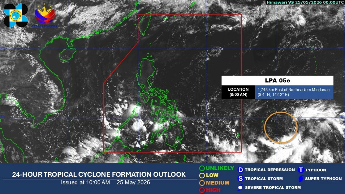
Satellite image (Courtesy of PAGASA)
Cloudy skies with scattered rains and thunderstorms will persist over Palawan and Mindanao due to the trough of a low-pressure area (LPA) that has a “medium chance” of becoming a tropical cyclone, the Philippine Atmospheric, Geophysical and Astronomical Services Administration (PAGASA) said Monday, May 25.
The LPA was located 1,745 kilometers east of northeastern Mindanao as of 8 a.m.
“Patuloy po natin itong babantayan at may posibilidad na ito'y maging bagyo (We will continue to monitor it as it has the possibility of developing into a tropical cyclone),” PAGASA weather specialist Aldczar Aurelio said.
He said the trough or extension of the LPA will continue to affect Palawan and Mindanao through Tuesday, May 26, bringing cloudy skies, scattered rains, and thunderstorms.
Aurelio advised residents in affected areas to remain alert for possible flash floods and landslides during moderate to, at times, heavy rainfall.
“Mag-ingat pa rin dahil sa mga pag-uulan na ating mararanasan ngayong araw, lalo na sa Palawan at Mindanao (Stay cautious due to the rains we may experience today, especially in Palawan and Mindanao),” he said.
Meanwhile, generally fair weather will prevail over Luzon and the Visayas, although hot and humid conditions are expected, especially at noon and in the afternoon.
He added that localized thunderstorms may still develop in the afternoon or evening, bringing sudden rain showers despite the heat.
On Sunday, Dagupan City in Pangasinan recorded a heat index of 48 degrees Celsius, while Metro Manila registered 41 to 43 degrees Celsius.
For Monday, PAGASA forecast a heat index of up to 47 degrees Celsius in Dagupan City and 41 to 43 degrees Celsius in Metro Manila.