


Master plan vs Mindanao River flooding OKd
Published May 14, 2026 03:56 pm


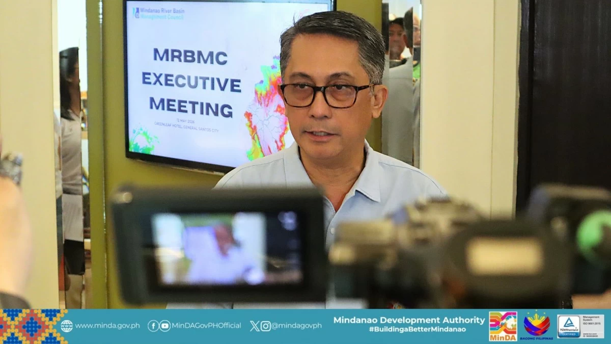
MAGNO (FB)
DAVAO CITY – The Mindanao River Basin Management Council (MRBMC) has formally adopted a unified master plan to address the perennial flooding and strengthen watershed protection in the country's largest river system.
The plan will consolidate efforts of national government agencies, local government units, and development partners under a single framework to address flooding, watershed degradation, water resource management, and climate change impacts, said Mindanao Development Authority (MinDA) Secretary Leo Magno.
Magno issued the statement after the MRBMC adopted the plan during the MRBMC Executive Meeting in General Santos City on May 12.
The initiative was meant to address fragmented implementation and ensure efficient use of government resources, he added.
Magno acknowledged the efforts of different government agencies and pointed out that there is a need to unify the efforts to avoid redundancy and effectively manage government resources.
“That is why we were given a directive from the Office of the Executive Secretary to review and update the existing Mindanao River Basin Master Plan,” he said.
The Mindanao River basin spreads across the provinces of Bukidnon, Davao del Norte, Lanao del Sur, Maguindanao, Sultan Kudarat, North Cotabato, South Cotabato, and some parts of Agusan del Sur and chartered cities Cotabato City and Davao City.
It is the second largest river basin in the Philippines with a total area of 21,503-square kilometers next to Cagayan River in Luzon.
The system also has the second longest river in the country with an approximate length of 373 kilometers.
Its headwaters can be found in Impasug-ong in Bukidnon, where it is known as the Upper Pulangui River. It joins the Kabacan River downstream where it is called Mindanao River.
While the Mindanao River basin is a critical source of irrigation and livelihood balance for millions of residents, it is increasingly threatened by flooding, watershed degradation, illegal logging, and climate change impacts.
Based on the 2024 study “Mindanao River Basin – Landscape Risk Assessment,” which evaluated the basin’s vulnerability to climate change and natural hazards, it showed that a significant rise in flooding was linked to environmental degradation, particularly in upper watershed areas such as Upper Pulangi and other headwaters.
The study pointed out how deforestation, slash-and-burn farming, and rapid urbanization have reduced natural water absorption, intensifying flood risks in downstream communities.
It also stated that deteriorating water quality in the Pulangi River system has resulted in increasing fish kills, declining aquatic biodiversity, and higher turbidity levels driven by agricultural runoff, industrial discharges, and soil erosion.
Magno said the MRBMC will ensure that the plan will translate into actual projects on the ground.
“We will make sure that resources are not wasted, that projects are implemented properly, and that the people of Mindanao see the results in improved flood control, watershed protection, and climate resilience.”
Present during the meeting were MRBMC Chairperson Cardinal Orlando B. Quevedo and key representatives from different provincial governments, Bangsamoro Autonomous Region in Muslim Mindanao, Department of Interior and Local Government, Department of Science and Technology, Department of Environment and Natural Resources, and Office of Civil Defense.