


Manila Bulletin
 Philippines
National
LPA outside PAR intensifies into tropical depression; PAGASA sees slim chance of landfall
Philippines
National
LPA outside PAR intensifies into tropical depression; PAGASA sees slim chance of landfall
Philippines
National
LPA outside PAR intensifies into tropical depression; PAGASA sees slim chance of landfall
LPA outside PAR intensifies into tropical depression; PAGASA sees slim chance of landfall
Published Apr 8, 2026 05:54 pm


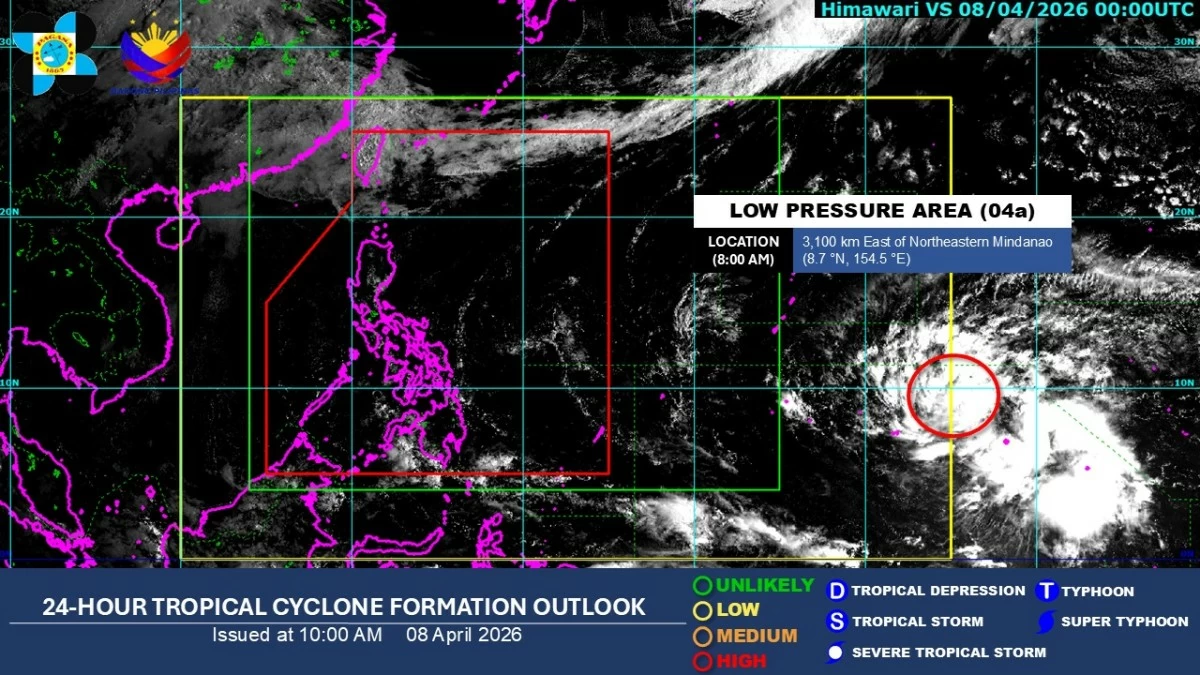
Satellite image of a tropical depression outside the Philippine Area of Responsibility (Courtesy of PAGASA)
The low-pressure area (LPA) being monitored outside the Philippine Area of Responsibility (PAR) has intensified into a tropical depression, the Philippine Atmospheric, Geophysical and Astronomical Services Administration (PAGASA) said on Wednesday afternoon, April 8.
As of 3 p.m., the weather disturbance was located 3,000 kilometers east of northeastern Mindanao, with maximum sustained winds of 55 kilometers per hour (kph) near the center and gustiness of up to 70 kph.
It was moving west-northwestward at 15 kph.
PAGASA weather specialist Benison Estareja said the tropical depression remains far from land and has no direct effect on the country.
He added that there is still only a slim chance of landfall or direct impact in the coming days.
He said the weather disturbance is expected to continue strengthening as it moves over warm Pacific waters and may reach severe tropical storm or typhoon category within the next six days.
Estareja also noted that the system will likely maintain a west-northwestward track and may enter the PAR between April 15 and April 16, where it will be given the local name “Caloy,” the first cyclone for April and the third for the year.
From April 15 to 18, the system may recurve, shifting northwestward before turning northward toward southern Japan, he said.
“Strengthening remains possible given favorable ocean conditions,” he added.
However, he noted that the system is still too far to directly affect the Philippines, though it will continue to be closely monitored for any changes in track or intensity.
Meanwhile, a ridge of high-pressure area (HPA) extending across Northern and Central Luzon, along with warm easterlies from the Pacific Ocean, remain the dominant weather systems over the country, bringing generally fair conditions with isolated rain showers.
The ridge of HPA is an anti-cyclonic system associated with fair weather, while easterlies refer to warm winds from the Pacific that bring humid conditions and localized rain.