


Manila Bulletin
 Technews
Philippine Space Agency deploys satellite mapping to protect Palawan's ecosystems and Tubbataha's coral reefs
Technews
Philippine Space Agency deploys satellite mapping to protect Palawan's ecosystems and Tubbataha's coral reefs
Technews
Philippine Space Agency deploys satellite mapping to protect Palawan's ecosystems and Tubbataha's coral reefs
Philippine Space Agency deploys satellite mapping to protect Palawan's ecosystems and Tubbataha's coral reefs
Published Feb 24, 2026 05:04 pm


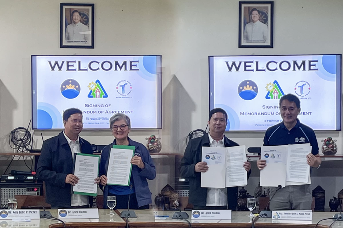
The Philippine Space Agency (PhilSA) has signed five-year agreements with two of the country's most important environmental authorities to bring satellite-derived mapping technology to bear on conservation efforts in Palawan and the Tubbataha Reefs Natural Park.
The memoranda of agreement, formalized on February 13, 2026 in Puerto Princesa City, establish formal partnerships with the Palawan Council for Sustainable Development (PCSD) and the Tubbataha Management Office (TMO). Both deals center on the use of space science and remote sensing to generate the detailed environmental maps that land managers and policymakers need to monitor ecosystem health, detect change, and respond to damage.
Satellite Maps for Palawan's Land and Seas
Under its agreement with PCSD, PhilSA will produce land use and land cover (LULC) maps alongside benthic, or marine habitat, maps at no cost to the council. These datasets are foundational tools for tracking deforestation, coastal degradation, and changes in marine ecosystems over time. PCSD will contribute ground-truth validation data to improve map accuracy, creating a feedback loop between space-based observation and on-the-ground expertise.
The partnership formalizes a relationship that has been developing since 2022, when PhilSA held a workshop in Palawan under its PINAS program — the PhilSA Integrated Network for Space-Enabled Actions. That network, launched in October 2022, connects local government units, academic institutions, and individuals across the Philippines who are applying space data to sustainability challenges. Workshops have since been held in more than a dozen regions, from Ilocos in the north to Davao and Zamboanga in Mindanao.
Mapping the Deep for Tubbataha
The agreement with the Tubbataha Management Office focuses specifically on the reef ecosystem within Tubbataha Reefs Natural Park, a UNESCO World Heritage Site in the Sulu Sea recognized as one of the most pristine and biodiverse marine environments in Southeast Asia. PhilSA will conduct benthic habitat mapping and bathymetric surveys — producing detailed charts of the seafloor's depth and composition — to support science-based management of the park.
Tubbataha's remoteness has historically made sustained monitoring difficult and expensive. Satellite and drone-based mapping offers a way to observe large areas of reef systematically, giving park managers data they would otherwise struggle to collect.
Field Surveys Running Concurrently
Alongside the signings, PhilSA teams carried out field surveys in Balabac, in southern Palawan, collecting the validation data needed to calibrate its remote sensing models. The surveys involved drone image acquisition for high-resolution mapping of benthic zones, cropland, and forest cover, as well as underwater video transects and echosounder tows to characterize the seafloor. The resulting datasets will feed into more accurate maps of seagrass beds, coral cover, forest extent, and agricultural areas — outputs that serve both conservation planning and food security goals.
PhilSA also held PINAS symposiums at Western Philippines University and Palawan State University in parallel with the MOA signings, embedding the partnerships within a broader effort to build local capacity for space data use.
Building Lasting Capability
Both agreements include training provisions designed to ensure that PCSD and TMO staff can continue to use satellite data for habitat monitoring and management independently after the five-year terms conclude. That emphasis on capacity transfer reflects a wider PhilSA strategy: not simply delivering map products, but equipping Philippine institutions to sustain space-enabled environmental governance on their own terms.