


'Basyang' weakens into LPA, wind signals lifted — PAGASA
Published Feb 7, 2026 08:26 am


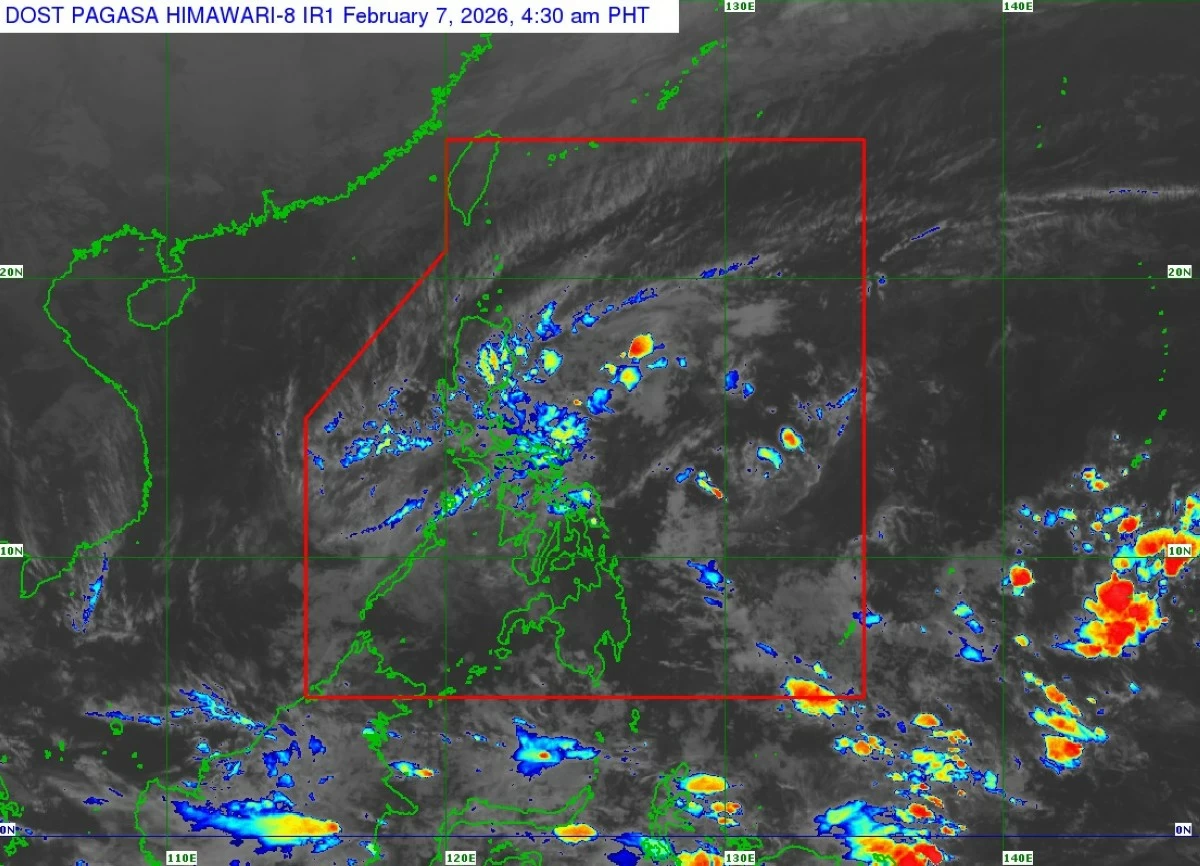
Satellite image of a low-pressure area (formerly Tropical Depression Basyang) (Courtesy of PAGASA)
Tropical Depression Basyang (Penha) has weakened into a low-pressure area (LPA) while moving westward over the Sulu Sea, the Philippine Atmospheric, Geophysical and Astronomical Services Administration (PAGASA) said on Saturday, Feb. 7.
PAGASA weather specialist Leanne Loreto said the cyclone weakened at 2 a.m. due to unfavorable environmental conditions and after repeated interactions with land in Mindanao and the Visayas, which disrupted its structure.
As of 4 a.m., the center of the LPA was estimated at 105 kilometers southeast of Cuyo, Palawan, moving westward at 25 kilometers per hour.
No tropical cyclone wind signal is currently hoisted.
Loreto said Basyang made five landfalls: over Bayabas, Surigao del Sur at 11:50 p.m. on Feb. 5; Jagna, Bohol at 11 a.m. on Feb. 6; Dauis, Bohol at 4 p.m. the same day; Alcoy, Cebu at 7:50 p.m.; and Ayungon, Negros Oriental at 9 p.m.
PAGASA said the remnant low will move generally west-northwestward over the Sulu Sea and cross northern Palawan, but may dissipate as it moves over increasingly unfavorable conditions.
Despite the weakening, the weather bureau warned that the LPA will continue to bring heavy rains.
Rainfall of 50 to 100 millimeters (moderate to heavy) is expected today over Palawan, Oriental Mindoro, Negros Occidental, Antique, Iloilo, and Guimaras, and over Palawan on Sunday, Feb. 8.
Meanwhile, due to the shear line, PAGASA said 50 to 100 millimeters of rain may affect Quezon and Camarines Norte on Saturday, and Quezon, Oriental Mindoro, Marinduque, and Camarines Norte on Sunday.
By Monday, Feb. 9, moderate to heavy rainfall may persist in Camarines Sur, Catanduanes, and Northern Samar.
Loreto also said the surge of the northeast monsoon, or “amihan,” will bring colder temperatures over Northern and Central Luzon in the next few days.