


Manila Bulletin
 Philippines
National
After Surigao del Norte landfall, 'Basyang' set to make another landfall over Bohol — PAGASA
Philippines
National
After Surigao del Norte landfall, 'Basyang' set to make another landfall over Bohol — PAGASA
Philippines
National
After Surigao del Norte landfall, 'Basyang' set to make another landfall over Bohol — PAGASA
After Surigao del Norte landfall, 'Basyang' set to make another landfall over Bohol — PAGASA
Published Feb 6, 2026 07:01 am


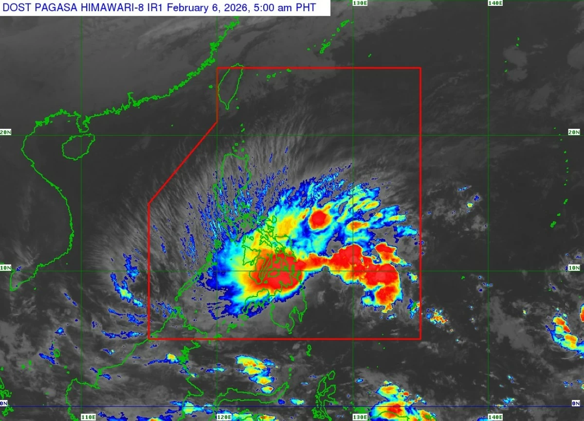
Satellite image of Tropical Storm Basyang (international name: Penha) (Courtesy of PAGASA)
The Philippine Atmospheric, Geophysical and Astronomical Services Administration (PAGASA) warned that Tropical Storm Basyang (international name: Penha) could make another landfall over Bohol in the next few hours as it continued moving across northern Mindanao early Friday, Feb. 6, after its initial landfall late Thursday evening, Feb. 5.
PAGASA said Basyang made landfall over Bayabas, Surigao del Norte at 11:50 p.m. on Thursday.
As of 4 a.m., Friday, the center of Basyang was already over Jabonga, Agusan del Norte.
On the forecast track, PAGASA said the storm may pass close to or make another landfall over Bohol on Friday morning and the southern portions of Cebu and Negros Oriental between morning and afternoon.
After crossing Central Visayas, Basyang is expected to move into the Sulu Sea, pass close to the Cuyo Islands, and cross the northern portion of Palawan.
Basyang was packing maximum sustained winds of 65 kilometers per hour near (kph) the center, with gustiness of up to 90 kph.
PAGASA said the weather disturbance is likely to remain a tropical storm while traversing Central and Western Visayas, but gradual weakening is expected as it continues to interact with land.
Further weakening into a tropical depression is possible Friday evening or Saturday morning, Feb. 7, and may be downgraded into a low-pressure area by Sunday morning, Feb. 8.
Tropical Cyclone Wind Signal No. 2 remains in effect over Southern Leyte, Bohol, central and southern portions of Cebu, Siquijor, Negros Oriental, southern portion of Negros Occidental, Dinagat Islands, Surigao del Norte, northern portion of Surigao del Sur, Agusan del Norte, northern portion of Agusan del Sur, Camiguin, Misamis Oriental, northern portion of Bukidnon, and eastern portion of Misamis Occidental.
Meanwhile, Signal No. 1 is hoisted over the southern portion of Occidental Mindoro, southern portion of Oriental Mindoro, Romblon, northern portion of Palawan including the Calamian, Cuyo, and Cagayancillo Islands, southern portion of Masbate, southern portion of Eastern Samar, southern portion of Samar, Biliran, rest of Leyte, rest of Cebu, rest of Negros Occidental, Guimaras, Iloilo, Capiz, Aklan, Antique, rest of Surigao del Sur, rest of Agusan del Sur, northern portion of Davao Oriental, northern portion of Davao de Oro, northern portion of Davao del Norte, central portion of Bukidnon, Lanao del Norte, rest of Misamis Occidental, Lanao del Sur, eastern and central portions of Zamboanga del Norte, northern and central portions of Zamboanga del Sur, and northeastern portion of Zamboanga Sibugay.
PAGASA warned that areas under Signal No. 2 may experience minor to moderate impacts from gale-force winds, while areas under Signal No. 1 may experience minimal to minor impacts from strong winds.