


Signal No. 1 up in southern Surigao del Sur due 'Basyang'
Published Feb 4, 2026 08:14 am


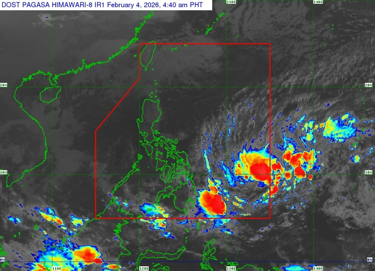
Satellite image of Tropical Depression Basyang (Courtesy of PAGASA)
Tropical Depression Basyang accelerated as it moved closer to Mindanao, prompting the Philippine Atmospheric, Geophysical and Astronomical Services Administration (PAGASA) to raise Tropical Cyclone Wind Signal No. 1 over the southern portion of Surigao del Sur on Wednesday morning, Feb. 4.
As of 5 a.m., the center of Basyang was estimated at about 895 kilometers east of northeastern Mindanao, moving west-southwestward at 20 kilometers per hour (kph).
The tropical depression is packing maximum sustained winds of 55 kph near the center and gusts of up to 70 kph.
Tropical Cyclone Wind Signal No. 1 was raised over the southern portion of Surigao del Sur, particularly Cagwait, Marihatag, San Agustin, Barobo, Tagbina, Hinatuan, the City of Bislig, Lingig, and Lianga.
PAGASA said minimal to minor impacts from strong winds are possible in areas under the warning.
Meanwhile, the highest wind signal that may be hoisted during Basyang’s passage is Signal No. 2.
PAGASA said Basyang will continue moving generally west-southwestward until Thursday, Feb. 5, before turning west-northwestward beginning Friday morning, Feb. 6.
On its forecast track, the cyclone is expected to make its initial landfall over eastern Mindanao between Thursday evening and Friday morning, then traverse northeastern Mindanao and parts of Central and Western Visayas before emerging over the Sulu Sea by Saturday morning, Feb. 7.
By Saturday afternoon, Basyang is expected to cross the northern portion of Palawan and re-emerge over the West Philippine Sea.
The cyclone is forecast to gradually intensify over the Philippine Sea and may reach tropical storm category later Wednesday.
After its initial landfall, it is expected to weaken back into a tropical depression and may be downgraded into a low pressure area by Monday, Feb. 9.