


Manila Bulletin
 Philippines
National
PAGASA raises Signal No. 1 over more areas as 'Basyang' nears eastern Mindanao
Philippines
National
PAGASA raises Signal No. 1 over more areas as 'Basyang' nears eastern Mindanao
Philippines
National
PAGASA raises Signal No. 1 over more areas as 'Basyang' nears eastern Mindanao
PAGASA raises Signal No. 1 over more areas as 'Basyang' nears eastern Mindanao
Published Feb 4, 2026 05:42 pm


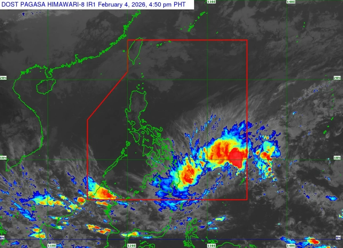
Satellite image of Tropical Depression Basyang (Courtesy of PAGASA)
Tropical Depression Basyang moved closer to eastern Mindanao on Wednesday afternoon, Feb. 4, prompting the Philippine Atmospheric, Geophysical and Astronomical Services Administration (PAGASA) to raise tropical cyclone wind signal No. 1 over 12 areas in the Visayas and Mindanao.
As of 5 p.m., the center of Basyang was estimated at 655 kilometers east of Hinatuan, Surigao del Sur, packing maximum sustained winds of 55 kilometers per hour (kph) near the center and gustiness of up to 70 kph.
The weather system is moving westward at 15 kph.
Signal No. 1 has been raised over southern Eastern Samar (Guiuan, Salcedo, Mercedes, Giporlos, Balangiga, Lawaan, Quinapondan, General MacArthur, Hernani, Llorente, Maydolong, Balangkayan, City of Borongan), southern Samar (Marabut, Basey), Southern Leyte, central and southern portions of Leyte (Matalom, Bato, Hilongos, Hindang, Inopacan, Mahaplag, Abuyog, MacArthur, Javier, City of Baybay, Tolosa, Palo, Tacloban City, Santa Fe, Pastrana, Dagami, Albuera, Tabontabon, Tanauan, Dulag, Julita, La Paz, Mayorga, Burauen), Dinagat Islands, Surigao del Norte, Surigao del Sur, Agusan del Norte, Agusan del Sur, Camiguin, eastern Misamis Oriental (Talisayan, Medina, Magsaysay, Gingoog City, Balingoan, Kinoguitan, Claveria, Sugbongcogon, Salay, Binuangan, Lagonglong, Balingasag), and northern Davao Oriental (Boston, Cateel).
PAGASA said minimal to minor impacts from strong winds are possible in areas under Signal No. 1.
The agency added that the highest warning level during Basyang’s passage is Signal No. 2.
PAGASA said Basyang will move generally westward for the next 36 hours before turning west-northwestward on Thursday evening, Feb. 5.
The cyclone is expected to make its initial landfall over eastern Mindanao between Thursday evening and early Friday, Feb. 6, then traverse northeastern Mindanao and Central and Western Visayas before emerging over the Sulu Sea by Saturday morning, Feb. 7.
By Saturday afternoon or evening, it is expected to cross the northern portion of Palawan and re-emerge over the West Philippine Sea.
Basyang is also expected to gradually intensify over the Philippine Sea and may reach tropical storm category as early as Wednesday.
After landfall, it is expected to weaken into a tropical depression while crossing the Visayas and may be downgraded into a low-pressure area by Sunday, Feb. 8.
PAGASA also warned of potential coastal hazards, including a minimal to moderate risk of storm surge of up to two meters over low-lying or exposed coastal communities in Dinagat Islands, Surigao del Norte, Surigao del Sur, and Davao Oriental within the next 48 hours.
A gale warning remains in effect over the eastern seaboards of Visayas and Mindanao, with sea travel considered risky, especially for small vessels.