


PAGASA launches iHeatMap for real-time heat index monitoring


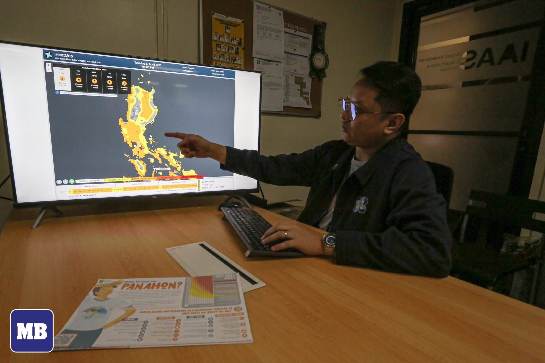
The Philippine Atmospheric, Geophysical, and Astronomical Services Administration (PAGASA) has officially launched the Interactive Heat Index Mapping and Prediction (iHeatMap) platform to provide real-time heat index data across the country.
PAGASA said the platform offers high-resolution, gridded heat index data for precise monitoring of heat conditions in various areas.
It includes color-coded alerts to indicate heat risks, from cautionary to dangerous levels.
It also provides hourly forecasts for enhanced accuracy.
With its user-friendly interface designed for desktop browsing, PAGASA said the iHeatMap is a valuable tool for the public and authorities.
Through this platform, the agency said it aims to support informed decision-making and help improve preparedness in addressing the impacts of extreme heat, especially as the Philippines faces hotter and drier conditions.