


Manila Bulletin
 Philippines
National
No LPA being monitored, but shear line and 'amihan' to bring rains over parts of Luzon — PAGASA
Philippines
National
No LPA being monitored, but shear line and 'amihan' to bring rains over parts of Luzon — PAGASA
Philippines
National
No LPA being monitored, but shear line and 'amihan' to bring rains over parts of Luzon — PAGASA
No LPA being monitored, but shear line and 'amihan' to bring rains over parts of Luzon — PAGASA
Published Dec 11, 2025 12:45 pm


(Manila Bulletin / file)
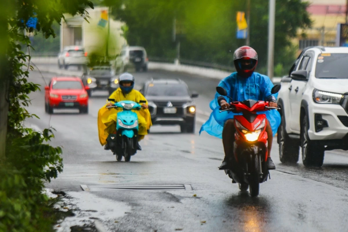
The Philippine Atmospheric, Geophysical and Astronomical Services Administration (PAGASA) said on Thursday, December 11, that no low-pressure area (LPA) is currently being monitored inside the Philippine Area of Responsibility (PAR) for potential tropical cyclone formation.
In its latest weather forecast, PAGASA said that despite the absence of an LPA, the public is still advised to monitor official weather updates as several weather systems are expected to influence local conditions.
Shear line, northeast monsoon to affect Luzon
According to PAGASA, the shear line is affecting the eastern sections of Northern and Central Luzon, while the northeast monsoon (amihan) continues to impact the rest of Northern Luzon.
The shear line is bringing rains over the eastern sections of Northern and Central Luzon, while the northeast monsoon is affecting the remaining areas of Northern Luzon.
Cagayan, Isabela, Quirino, Nueva Vizcaya, Kalinga, Mountain Province, Ifugao, Aurora, and Quezon will experience cloudy skies with scattered rains and isolated thunderstorms due to the shear line, with possible flash floods or landslides triggered by moderate to at times heavy rainfall.
Batanes, Apayao, Abra, and Ilocos Norte will have cloudy skies with rains caused by the northeast monsoon, which may also lead to flooding or landslides in vulnerable areas.
The rest of the Ilocos Region and the Cordillera Administrative Region will experience partly cloudy to cloudy skies with isolated light rains due to the northeast monsoon, with no significant impacts expected.
Meanwhile, Metro Manila and the rest of the country will have partly cloudy to cloudy skies with isolated rain showers or thunderstorms due to localized thunderstorms.
PAGASA cautioned the public to remain alert for possible flash floods or landslides during severe thunderstorms and to stay updated through official weather advisories.