


Manila Bulletin
 Philippines
National
ITCZ, potential LPA to bring rains over parts of PH this weekend — PAGASA
Philippines
National
ITCZ, potential LPA to bring rains over parts of PH this weekend — PAGASA
Philippines
National
ITCZ, potential LPA to bring rains over parts of PH this weekend — PAGASA
ITCZ, potential LPA to bring rains over parts of PH this weekend — PAGASA
Published Oct 29, 2025 11:47 am


At A Glance
- A low-pressure area (LPA) may develop on Thursday, Oct. 30.
- PAGASA said rains caused by the potential LPA and intertropical convergence zone may coincide with the observance of All Saints' Day and All Souls' Day or "Undas."
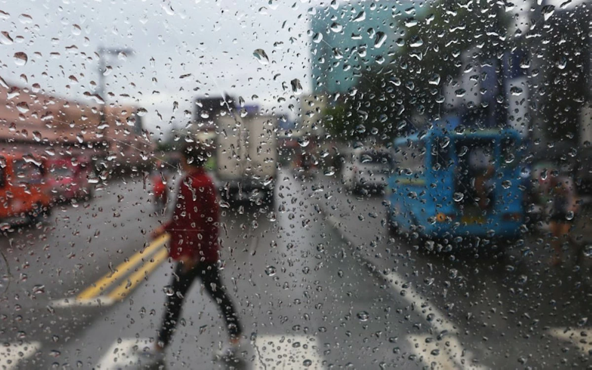
(Keith Bacongco/Manila Bulletin file photo)
The Philippine Atmospheric, Geophysical and Astronomical Services Administration (PAGASA) said on Wednesday, Oct. 29, that several weather systems, including a potential low-pressure area (LPA), are expected to bring rains over large parts of the country in the coming days, which may affect activities during the observance of All Saints’ Day (Nov. 1) and All Souls’ Day (Nov. 2), or “Undas.”
PAGASA weather specialist Leanne Loreto said an LPA may form along the intertropical convergence zone (ITCZ) by Thursday, Oct. 30.
Along with the ITCZ, the LPA may bring moderate to heavy rains over Metro Manila, Cavite, Laguna, Batangas, Rizal, Quezon, Oriental Mindoro, Occidental Mindoro, Marinduque, Romblon, Palawan, Bicol Region, Visayas, and Mindanao.
The ITCZ is a weather system formed by the convergence of winds from the northern and southern hemispheres, which often produces thunderstorms and periods of prolonged rainfall.
By Friday, Oct. 31—the eve of All Saints’ Day—moderate to heavy rains are expected to persist over Batangas, Quezon, Oriental Mindoro, Occidental Mindoro, Marinduque, Romblon, Palawan, the Bicol Region, Visayas, Zamboanga Peninsula, Northern Mindanao, Surigao del Norte, and Dinagat Islands due to the combined effects of the LPA and the ITCZ.
Loreto said the potential LPA may move across the Sulu Sea during this period.
The shear line, a weather system that forms when cold northeast monsoon winds (amihan) collide with warm easterlies, may also bring cloudy skies with scattered rains over Cagayan province.
From Saturday to Sunday, Nov. 1 to 2, Palawan may experience moderate to at times heavy rains as the LPA moves across the West Philippine Sea, while the amihan and shear line may cause rains over Batanes, Cagayan, Isabela, and Aurora.
Meanwhile, Loreto addressed circulating social media posts about a “super typhoon” that may hit the country next week.
She clarified that PAGASA forecasts show a “low to moderate chance” of a tropical cyclone forming between Nov. 3 and 9, but its strength and track remain “highly uncertain.”
“Sa mga kumakalat na information sa social media, ginagamit kasi nila ‘yung mga tools sa internet na gumagamit ng numerical weather prediction models (Those pieces of information circulating on social media often come from internet tools that use numerical weather prediction models),” Loreto said in a climate forum.
“Dito po sa PAGASA, mas marami po tayong models na tinitingnan at mas marami din po tayong datos na binabasehan sa ating forecast kaya hindi tayo basta-basta nagsasabi kung magkakaroon tayo ng super typhoon (Here at PAGASA, we look at more weather models and consider more data in our forecasts, which is why we do not make premature claims about a possible super typhoon),” she added.
PAGASA weather specialist Joey Figuracion also reminded the public to rely only on official sources for weather information.
“Ang payo po natin, mag-antabay po tayo sa reliable sources like sa PAGASA. Huwag po tayo basta-basta maniwala doon sa nagpapakalat ng forecast na hindi naman po nila nasuri ng maigi (Our advice is to wait for updates from reliable sources such as PAGASA. Let us not easily believe in forecasts being spread by those who have not properly verified the information),” Figuracion said.