


Manila Bulletin
 Philippines
National
PAGASA: Possible Tropical Cyclone 'Ramil' may enter PAR by October 16 or 17; rainy weekend expected
Philippines
National
PAGASA: Possible Tropical Cyclone 'Ramil' may enter PAR by October 16 or 17; rainy weekend expected
Philippines
National
PAGASA: Possible Tropical Cyclone 'Ramil' may enter PAR by October 16 or 17; rainy weekend expected
PAGASA: Possible Tropical Cyclone 'Ramil' may enter PAR by October 16 or 17; rainy weekend expected
Easterlies continue to bring warm, humid weather and scattered rains over Luzon, Visayas
Published Oct 14, 2025 08:47 am


At A Glance
- PAGASA is monitoring a low-pressure area east of Southern Mindanao that may enter the Philippine Area of Responsibility (PAR) by October 16 or 17 and be named "Ramil."
- The weather bureau warns of possible rains over Luzon and Visayas this weekend as easterlies continue to bring warm, humid weather.
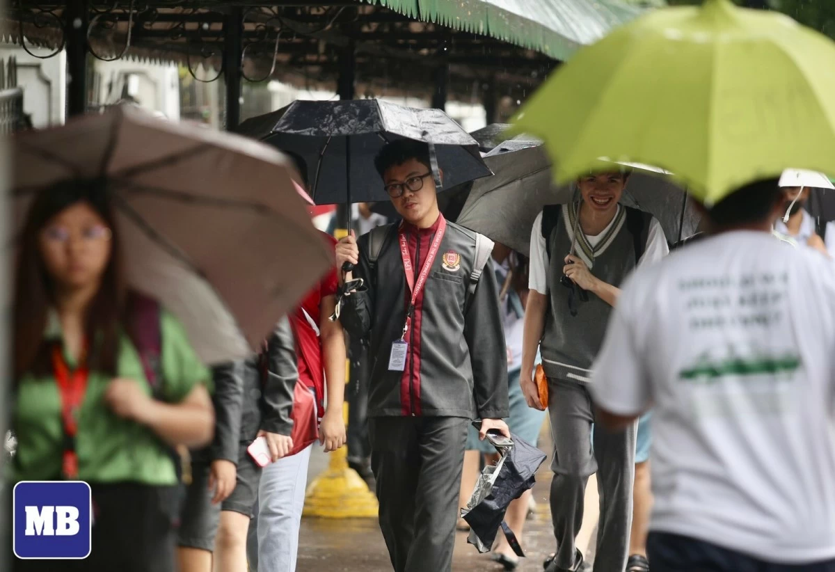
PAGASA is monitoring a low-pressure area east of Southern Mindanao that may enter the Philippine Area of Responsibility (PAR) by October 16 or 17 and be named “Ramil,” possibly bringing rains over Luzon and Visayas this weekend as easterlies continue to bring warm, humid weather. (Manila Bulletin / file)
The Philippine Atmospheric, Geophysical and Astronomical Services Administration (PAGASA) is closely monitoring a low-pressure area (LPA) located east of Southern Mindanao, which may enter the Philippine Area of Responsibility (PAR) before the week ends and could be named “Ramil” once it develops into a tropical cyclone.
In a public weather forecast on Tuesday, October 14, PAGASA Weather Specialist Chenel Dominguez said the LPA currently has a medium chance of developing into a tropical cyclone.
“Meron tayong mino-monitor na low pressure area dito sa labas ng ating Philippine Area of Responsibility. Possible itong pumasok ng ating PAR by Thursday or Friday bilang bagyo at papangalanan itong Ramil (We’re currently monitoring a low-pressure area located outside the Philippine Area of Responsibility. This system may enter our PAR by Thursday or Friday as a tropical cyclone, and if it does, it will be named Ramil),” she explained.
Low chance of developing within 24 hours
Dominguez said the LPA east of Southern Mindanao still has a low chance of developing into a tropical cyclone within the next 24 hours.
“Sa ngayon, mababa pa ang tyansa nitong maging ganap na bagyo within the next 24 hours, pero sa mga susunod na araw, tumataas ang posibilidad na ito ay maging isang ganap na bagyo (For now, the chance of it developing into a tropical cyclone within the next 24 hours remains low, but in the coming days, the likelihood of it becoming a full-fledged storm is increasing),” Dominguez said.
Based on PAGASA’s latest analysis, the potential storm may approach Northern Luzon over the weekend, bringing widespread rains to large parts of the region.
“Sa current analysis natin, possible itong lumapit dito sa may Northern Luzon kaya inaasahan natin na malaking bahagi ng Luzon ang makakaranas ng mga pag-ulan pagdating ng weekend (According to our current analysis, it may move closer to Northern Luzon, so we expect widespread rains over large parts of Luzon by the weekend),” she explained.
PAGASA emphasized that the LPA remains far from the PAR and that its track may still change in the coming days as forecasters continue to monitor its movement.
“Pero sa ngayon, malayo pa itong LPA sa area natin, kaya posibleng magbago pa rin ang track nito. Patuloy natin itong imo-monitor (For now, this low-pressure area is still far from our territory, so its track may still change. We’ll continue to monitor it closely),” Dominguez added.
Easterlies continue to affect Luzon and Visayas
While monitoring the LPA, PAGASA said easterlies—warm and humid winds from the Pacific Ocean—continue to affect Luzon and Visayas, bringing cloudy skies and scattered rain showers.
“Sa ngayon, patuloy ang pag-iral ng easterlies o yung mainit at maalinsangan na hangin na nagmumula sa Dagat Pasipiko na nakaapekto sa Luzon at Visayas (At present, the easterlies continue to prevail—these are warm and humid winds coming from the Pacific Ocean affecting Luzon and Visayas),” Dominguez said.
Based on PAGASA’s latest weather forecast, Metro Manila, CALABARZON, Bicol Region, Eastern Visayas, Cagayan, Isabela, Nueva Vizcaya, Quirino, Aurora, Nueva Ecija, Bulacan, Marinduque, and Oriental Mindoro will experience cloudy skies with scattered rain showers and thunderstorms due to easterlies.
The rest of Luzon and the Visayas are expected to have partly cloudy to cloudy skies with isolated rain showers or thunderstorms, while Mindanao will also experience similar conditions due to localized thunderstorms, PAGASA added.
PAGASA warned of possible flash floods or landslides due to severe thunderstorms or moderate to heavy rains.
The public is advised to continue monitoring official weather updates, especially those living in areas prone to flooding and landslides.