


Manila Bulletin
 Philippines
National
Trough of LPA, southwesterly windflow to bring rains across the country — PAGASA
Philippines
National
Trough of LPA, southwesterly windflow to bring rains across the country — PAGASA
Philippines
National
Trough of LPA, southwesterly windflow to bring rains across the country — PAGASA
Trough of LPA, southwesterly windflow to bring rains across the country — PAGASA
Published Oct 11, 2025 07:39 am


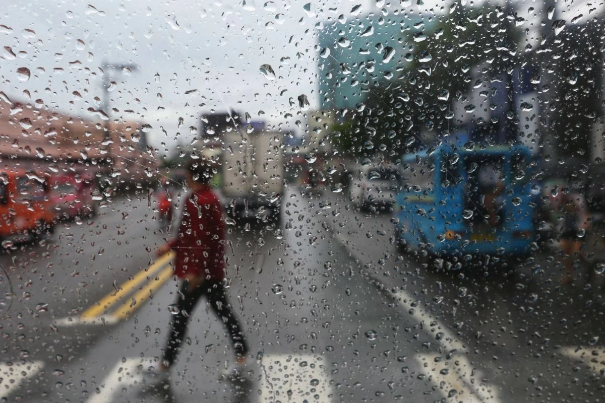
PAGASA warned of scattered rains and thunderstorms across Luzon, Visayas, and Mindanao on October 11, 2025 due to a trough of LPA and southwesterly windflow.(Manila Bulletin / file)
The Philippine Atmospheric, Geophysical and Astronomical Services Administration (PAGASA) said on Saturday, October 11, that a trough of a low-pressure area (LPA) and a southwesterly windflow are expected to bring scattered rains and thunderstorms over parts of Luzon, Visayas, and Mindanao.
Based on its latest forecast, PAGASA said the trough of the LPA is currently affecting the western sections of Central and Southern Luzon, while the southwesterly windflow is influencing weather conditions in the western parts of Visayas and Mindanao.
PAGASA said Palawan, Western Visayas, the Negros Island Region, Zamboanga Peninsula, and the Bangsamoro Autonomous Region in Muslim Mindanao (BARMM) will experience cloudy skies with scattered rain showers and thunderstorms due to the southwesterly windflow.
The state weather bureau warned of possible flash floods or landslides during periods of moderate to heavy rainfall.
Meanwhile, Metro Manila, Zambales, Bataan, Cavite, Batangas, and Occidental Mindoro will have cloudy skies with scattered rains and thunderstorms caused by the trough of the LPA.
Similar hazards of flooding and landslides remain possible in low-lying and mountainous areas, PAGASA added.
The rest of the country will experience partly cloudy to cloudy skies with isolated rain showers or thunderstorms due to localized thunderstorms, which may also bring sudden heavy downpours and lightning in the afternoon or evening.
PAGASA advised residents to stay alert for weather updates and to take precautionary measures against possible flooding and landslides, especially in areas with high rainfall accumulation.