


Manila Bulletin
 Philippines
National
PAGASA raises Signal No. 1 over 4 eastern Luzon areas as 'Paolo' expected to bring strong winds
Philippines
National
PAGASA raises Signal No. 1 over 4 eastern Luzon areas as 'Paolo' expected to bring strong winds
Philippines
National
PAGASA raises Signal No. 1 over 4 eastern Luzon areas as 'Paolo' expected to bring strong winds
PAGASA raises Signal No. 1 over 4 eastern Luzon areas as 'Paolo' expected to bring strong winds
Published Oct 1, 2025 11:24 pm


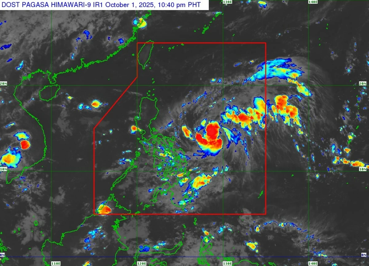
Satellite image of Tropical Depression Paolo (PAGASA)
The Philippine Atmospheric, Geophysical and Astronomical Services Administration (PAGASA) raised Tropical Cyclone Wind Signal No. 1 over four areas on Wednesday evening, Oct. 1, in anticipation of strong winds from Tropical Depression Paolo.
In its 11 p.m. bulletin, PAGASA said Signal No. 1 is currently in effect over the eastern and central portions of Isabela (Alicia, San Mateo, Aurora, San Mariano, Ramon, Naguilian, Dinapigue, Roxas, San Guillermo, Luna, City of Cauayan, Echague, Ilagan City, Angadanan, Benito Soliven, City of Santiago, Reina Mercedes, San Agustin, San Manuel, Palanan, Cabatuan, Quirino, Gamu, San Isidro, Cordon, Jones, Burgos, Maconacon, Divilacan, Tumauini), Quirino, northern and central portions of Aurora (Dilasag, Casiguran, Dinalungan, Dipaculao, Baler, Maria Aurora, San Luis), and northern portion of Catanduanes (Pandan, Bagamanoc, Panganiban, Viga).
PAGASA said these areas may experience “minimal to minor impacts from strong winds” within 36 hours.
The highest wind signal that may be raised during Paolo’s passage is Signal No. 3, although PAGASA said a worst-case scenario of Signal No. 4 remains possible if Paolo reaches typhoon category before landfall
Heavy rainfall outlook
PAGASA said heavy to intense rains (100 to 200 millimeters) may affect Cagayan, Isabela, Quirino, Aurora, Apayao, Abra, Benguet, Kalinga, Mountain Province, Ifugao, and Nueva Vizcaya from Thursday evening, Oct. 2 to Friday evening, Oct. 3
Moderate to heavy rains (50 to 100 millimeters) are also likely over Ilocos Norte, Ilocos Sur, La Union, Pangasinan, Nueva Ecija, Tarlac, Zambales, and Bataan.
From Friday evening to Saturday evening, Oct. 4, heavy to intense rainfall may persist in Ilocos Sur and La Union, while moderate to heavy rainfall may affect Ilocos Norte, Apayao, Abra, Mountain Province, Benguet, Kalinga, Pangasinan, and Ifugao.
PAGASA warned of possible flooding, particularly in urbanized, low-lying, or river-adjacent areas, as well as landslides in high-risk zones.
Forecast track
As of 10 p.m., the center of Paolo was estimated at 565 kilometers east of Virac, Catanduanes, or 695 kilometers east of Daet, Camarines Norte.
It had maximum sustained winds of 55 kilometers per hour (kph) near the center and gustiness of up to 70 kph, moving westward at a slower pace of 20 kph.
Paolo is expected to move generally westward to west-northwestward and maked landfall over Isabela or northern Aurora between Friday morning and afternoon, Oct. 3.
However, PAGASA pointed out that a southward shift in its track remains possible depending on the strength of the high pressure area north of Paolo.
It said Paolo is expected exit the Philippine Area of Responsibility by Saturday morning.