


PAGASA lifts all wind signals as 'Ragasa' heads for China
Published Sep 24, 2025 08:03 am


PAGASA
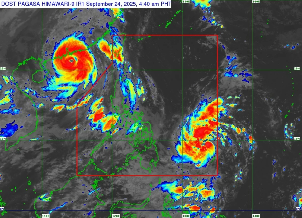
All tropical cyclone wind signals in the country have been lifted as Super Typhoon Ragasa (formerly “Nando”) moved toward the southern coast of China on Wednesday, Sept. 24, the Philippine Atmospheric, Geophysical and Astronomical Services Administration (PAGASA) said.
As of 4 a.m., the center of the eye of Ragasa was located 775 kilometers west of Itbayat, Batanes, outside the Philippine Area of Responsibility (PAR).
It was packing maximum sustained winds of 185 kilometers per hour (kph) near the center and gustiness of up to 230 kph, while moving west-northwestward at 25 kph.
PAGASA weather specialist Loriedin de la Cruz-Galicia said weather conditions in Visayas and Mindanao will generally improve, but localized rain showers and thunderstorms may still occur in the afternoon or evening.
However, the super typhoon continues to enhance the southwest monsoon or “habagat.”
Monsoon rains ranging from 50 to 100 millimeters (moderate to heavy) are still expected over Zambales, Bataan, and Occidental Mindoro today, and over Occidental Mindoro on Thursday, Sept. 25.
By Friday, Sept. 26, moderate to heavy rains may also affect Palawan, Antique, Iloilo, Guimaras, Negros Occidental, Negros Oriental, and Siquijor.