


'Nando' makes landfall in Cagayan — PAGASA
Published Sep 22, 2025 04:31 pm


PAGASA
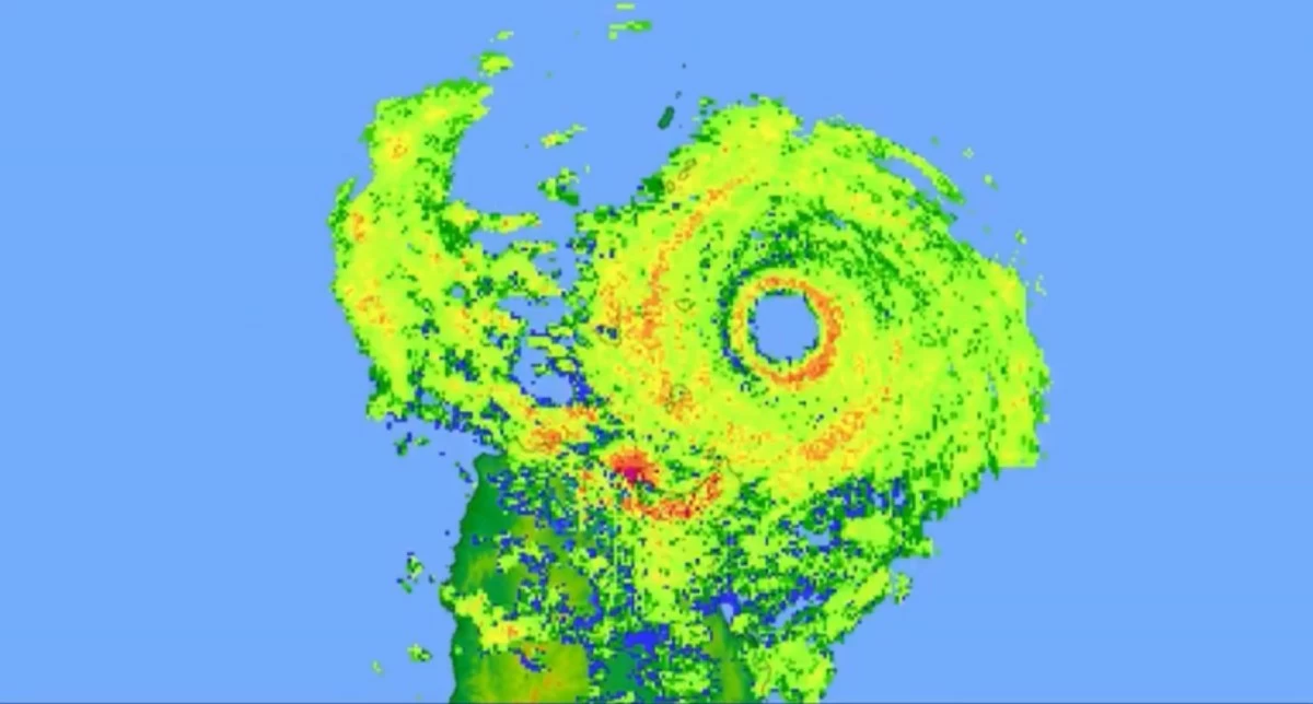
Super Typhoon Nando (international name: Ragasa) made landfall over Panuitan Island in Calayan, Cagayan, at 3 p.m. on Monday, Sept. 22, bringing destructive winds and heavy rains across Northern Luzon, said the Philippine Atmospheric, Geophysical and Astronomical Services Administration (PAGASA).
At landfall, Nando was packing maximum sustained winds of 215 kilometers per hour (kph) near the center and gustiness of up to 295 kph while moving west-northwestward at 25 kph.
PAGASA said the southwest monsoon (habagat), enhanced by the super typhoon, is also affecting Southern Luzon, Visayas, and Mindanao.
Over the next 24 hours, stormy weather is expected over Cordillera Administrative Region, Batanes, Cagayan, including Babuyan Islands, Ilocos Norte, Ilocos Sur, La Union, Isabela, and Nueva Vizcaya.
PAGASA warned of possible flash floods or landslides due to heavy to intense, at times torrential rains, and a minor to extreme threat to life and property from strong to typhoon-force winds.
Rains with gusty winds may also bring flash floods or landslides from moderate to heavy, at times intense, rains in Quirino, Pangasinan, Zambales, Tarlac, Nueva Ecija, Pampanga, Bulacan, Aurora, and Quezon.
These areas also face a minimal to minor threat to life and property due to strong to at times gale-force winds.
Metro Manila, Oriental Mindoro, Occidental Mindoro, Marinduque, Romblon, Palawan, Bataan, Cavite, Laguna, Batangas, and Rizal will experience cloudy skies with scattered rains and thunderstorms brought by the habagat, with the possibility of flash floods or landslides due to moderate to heavy rains.
The rest of the country will have partly cloudy to cloudy skies with isolated rain showers or thunderstorms, also due to the habagat, with flash floods or landslides possible during severe thunderstorms.