


Manila Bulletin
 Philippines
National
LPA east of Mindanao may enter PAR as tropical cyclone — PAGASA
Philippines
National
LPA east of Mindanao may enter PAR as tropical cyclone — PAGASA
Philippines
National
LPA east of Mindanao may enter PAR as tropical cyclone — PAGASA
LPA east of Mindanao may enter PAR as tropical cyclone — PAGASA
Published Sep 22, 2025 07:21 am


Philippine Atmospheric, Geophysical and Astronomical Services Administration (PAGASA) Assistant Weather Services Chief Chris Perez reports on Monday, Sept. 22, 2025, about the low-pressure area east of Mindanao that may develop into a tropical cyclone in the coming days. (Screenshot from PAGASA/Facebook)
A low-pressure area (LPA) east of Mindanao may enter the Philippine area of responsibility (PAR) as a tropical cyclone by Tuesday, Sept. 23, the Philippine Atmospheric, Geophysical and Astronomical Services Administration (PAGASA) said on Monday, Sept. 22.
PAGASA Assistant Weather Services Chief Chris Perez said the LPA has a medium chance of developing into a tropical depression within the next 24 hours, but it could still intensify beyond that period.
Once inside PAR and should it strengthen into a tropical cyclone, it will be named “Opong.”
As of 8 a.m., the LPA was spotted 1,560 kilometers east of northeastern Mindanao.
Perez said the weather disturbance has no direct effect yet but may bring rains to parts of Southern and Central Luzon in the coming days.
He urged the public to continue monitoring updates as “the situation may still change.”
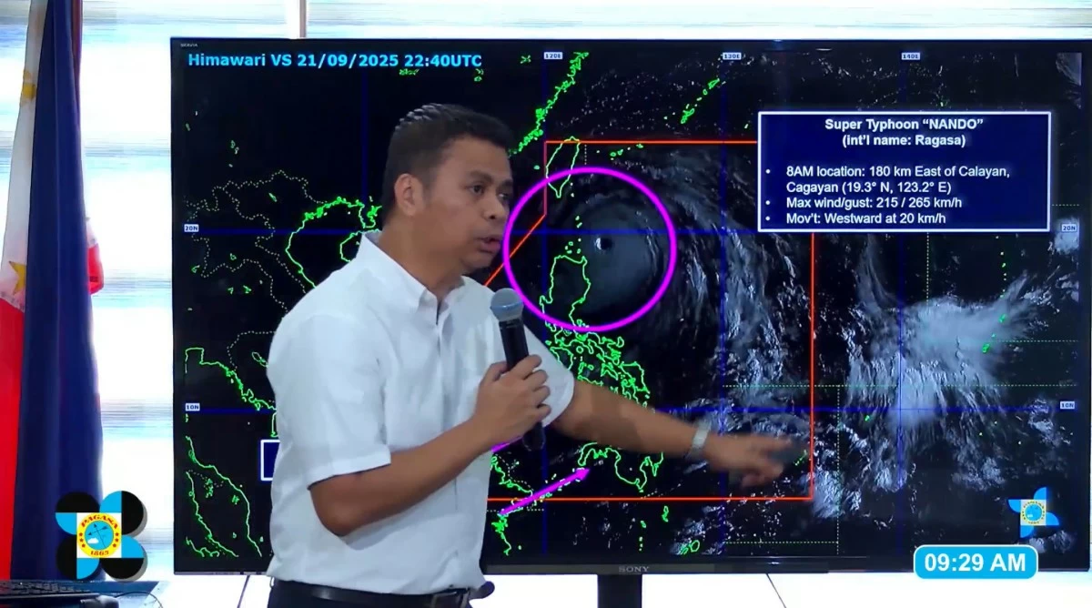
Meanwhile, PAGASA continues to monitor Super Typhoon Nando (international name: Ragasa), which remains inside PAR and is affecting parts of Northern and Central Luzon.
Nando is expected to pass close to or make landfall over Babuyan Islands between noon and early afternoon today before exiting the northern boundary of PAR around 5 a.m. on Tuesday, Sept. 23.