


Typhoon Gorio exits PAR
Published Aug 13, 2025 05:15 pm


PAGASA
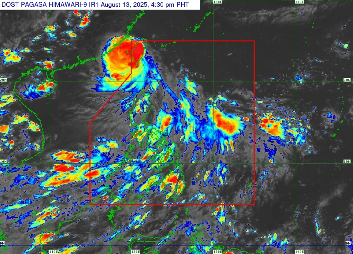
The Philippine Atmospheric, Geophysical and Astronomical Services Administration (PAGASA) said typhoon “Gorio” (international name “Podul”) exited the Philippine Area of Responsibility (PAR) at 4 p.m. on Wednesday, Aug. 13.
As of 5 p.m., the center of the typhoon was located 325 kilometers northwest of Itbayat, Batanes, moving west-northwestward at 25 kilometers per hour (kph).
After making landfall over southern Taiwan, Gorio slightly weakened, with maximum sustained winds of 140 kph near the center and gusts of up to 230 kph.
Following the typhoon’s exit, PAGASA has lifted the tropical cyclone wind signals previously in effect over Batanes.
However, moderate to heavy rainfall from Gorio may persist in Batanes over the next 24 hours.
Scattered rain showers and thunderstorms are also expected over Ilocos Norte, Apayao, and Cagayan.
The southwest monsoon or “habagat” may bring similar conditions to Oriental Mindoro, Occidental Mindoro, Marinduque, Romblon, Palawan, the Bicol Region, Visayas, Zamboanga Peninsula, Bangsamoro Autonomous Region in Muslim Mindanao, Northern Mindanao, Caraga, Sultan Kudarat, Sarangani, and Davao Oriental.
Meanwhile, Metro Manila and the rest of the country may experience partly cloudy to cloudy skies with isolated rain showers due to localized thunderstorms.
PAGASA advised the public to remain alert for possible flash floods or landslides, especially during moderate to heavy rainfall or severe thunderstorms.