


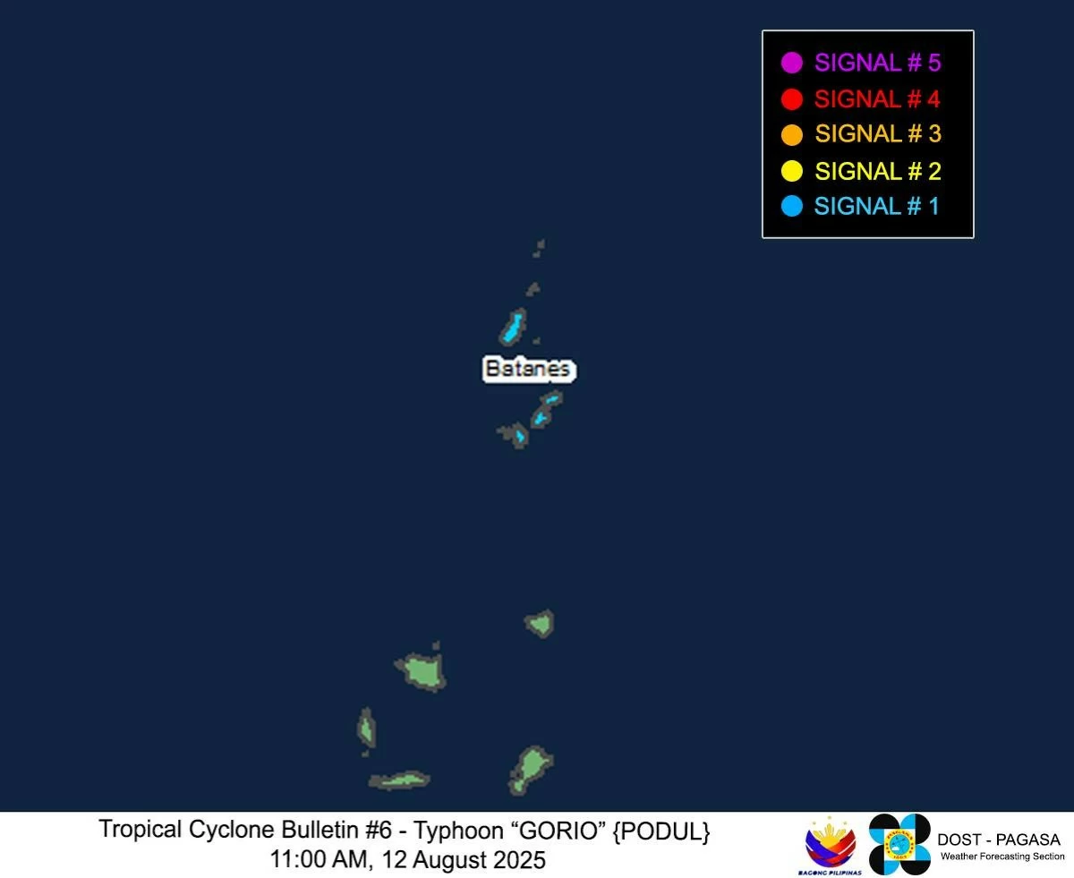
PAGASA hoists Signal No. 1 over Batanes due to typhoon Gorio
Published Aug 12, 2025 12:04 pm


PAGASA
The Philippine Atmospheric, Geophysical and Astronomical Services Administration (PAGASA) raised Tropical Cyclone Wind Signal No. 1 over Batanes on Tuesday morning, Aug. 12, as typhoon “Gorio” (international name “Podul”) continued its westward movement over the Philippine Sea.
Under Signal No. 1, minimal to minor impacts from strong winds are expected in Batanes.
PAGASA warned that based on the current forecast scenario, the wind signal may be upgraded to Signal No. 2 if the typhoon changes track.
A southward shift in the storm’s path or changes in its radius may also lead to the expansion of areas under wind signals.
PAGASA said heavy rainfall is also likely to affect Batanes within the next 24 hours.
Forecast track
As of 10 a.m., the center of typhoon Gorio was located 560 kilometers east of Itbayat, Batanes.
It was packing maximum sustained winds of 120 kilometers per hour (kph) and gusts of up to 150 kph, while moving westward at 25 kph.
PAGASA said the typhoon may continue moving west-northwestward over the forecast period.
On its current track, it may make landfall along the eastern coast of Taiwan on Wednesday afternoon, Aug. 13, and exit the Philippine Area of Responsibility (PAR) by Wednesday evening.
Dangerous sea conditions
Due to Gorio, very rough sea conditions are expected over the seaboards of Batanes, with wave heights reaching up to 5.5 meters.
Sea travel is considered risky for all types of vessels.
Mariners are advised to remain in port or seek safe harbor until sea and weather conditions improve.
Rough seas with wave heights of up to 3.5 meters are also expected along the northern and eastern seaboards of the Babuyan Islands.
Operators of small sea vessels, including motorbancas, are advised not to venture out to sea, especially if their vessels are poorly equipped or if crews lack sufficient experience.