


Manila Bulletin
 Philippines
National
Signal No. 4 up as Typhoon Emong lingers off the coast of Pangasinan
Philippines
National
Signal No. 4 up as Typhoon Emong lingers off the coast of Pangasinan
Philippines
National
Signal No. 4 up as Typhoon Emong lingers off the coast of Pangasinan
Signal No. 4 up as Typhoon Emong lingers off the coast of Pangasinan
By Jel Santos
Published Jul 24, 2025 05:50 pm


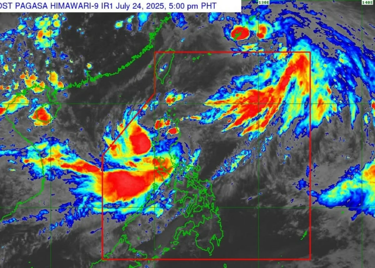
(PHOTO: DOST-PAGASA FACEBOOK PAGE)
Typhoon Emong (international name: Co-may) remains nearly stationary over the coastal waters of Pangasinan and may make landfall tonight, the Philippine Atmospheric, Geophysical and Astronomical Services Administration (PAGASA) reported on Thursday, July 24.
“Emong is currently slow-moving to almost stationary and is starting to turn more eastward towards the coastal waters of Pangasinan,”the state weather bureau said in its 5 p.m. bulletin.
“The typhoon is then forecast to accelerate northeastward tonight and to make landfall or pass very close to northwestern Pangasinan tonight.”
As of 4 p.m., the center of “Emong” was located over the coastal waters of Burgos, Pangasinan with maximum sustained winds of 120 kilometers per hour (kph).
The agency said it raised Tropical Cyclone Wind Signal (TCWS) No. 4 over parts of Ilocos Sur, La Union, and Pangasinan, warning of typhoon-force winds (118 to 184 kph) within the next 12 hours.
Areas under this signal include Santa Lucia, Santa Cruz, and Tagudin in Ilocos Sur; Bangar, Luna, Balaoan, and Bacnotan in La Union; and Agno, Bani, Bolinao, Anda, and Alaminos City in Pangasinan.
“This level of wind threat poses a significant to severe threat to life and property,” PAGASA stated.
The state weather bureau said a landfall in Pangasinan remains the most likely scenario but did not discount a possible shift to La Union or Ilocos Sur.
“It may also make landfall in La Union or Ilocos Sur this late evening or tomorrow (25 July) early morning,” PAGASA added.
After crossing northern Luzon, the agency said it is expected to exit toward the Babuyan Channel.
“Emong may still briefly intensify prior to landfall due to its compact circulation and favorable atmospheric and oceanic environment,” it added.
However, once it interacts with Luzon’s mountainous terrain, gradual weakening is expected, the agency said.
Heavy rains, storm surge warning
Aside from destructive winds, PAGASA warned of heavy to torrential rainfall in several areas due to the combined effects of “Emong” and the enhanced southwest monsoon or “habagat.”
The agency said a storm surge warning is in effect, with life-threatening coastal inundation of 1.0 to 3.0 meters possible in low-lying areas of Batanes, Cagayan, Ilocos Norte, Ilocos Sur, La Union, Pangasinan, Isabela, and Zambales.
Also, the bureau said a gale warning is in place over the seaboards of Northern and Central Luzon. Seas could reach up to 14 meters in the western seaboards of Ilocos Sur, La Union, and Pangasinan.
Sea travel remains risky for all types of vessels, PAGASA said.