


Manila Bulletin
 Philippines
National
Floods recede faster in Crising-hit areas as drainage, pumping systems improve—DPWH
Philippines
National
Floods recede faster in Crising-hit areas as drainage, pumping systems improve—DPWH
Philippines
National
Floods recede faster in Crising-hit areas as drainage, pumping systems improve—DPWH
Floods recede faster in Crising-hit areas as drainage, pumping systems improve—DPWH
By Trixee Rosel
Published Jul 23, 2025 07:11 pm


At A Glance
- Floodwaters in Crising-hit areas are subsiding faster, according to DPWH.
- Improved drainage systems and upgraded pumping stations helped ease flooding.
- Over 9,800 flood control projects completed since July 2022.
- DPWH calls for public cooperation to keep waterways clear.
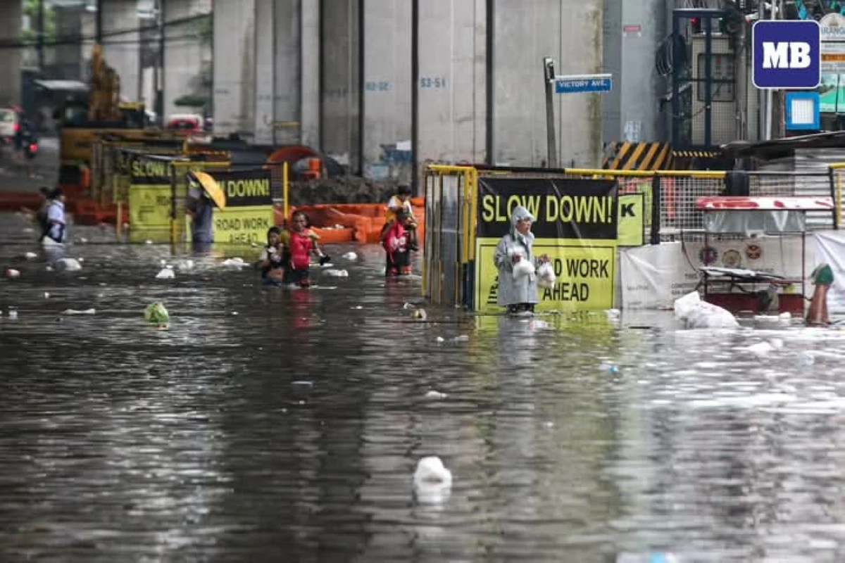
Residents wade through knee-deep to waist-deep floodwaters along Araneta Avenue in Quezon City on Monday, July 21, 2025, after intense rains brought by the southwest monsoon (habagat) submerged portions of the area. (Santi San Juan/MB)
Floodwaters in areas affected by Severe Tropical Storm “Crising” and the southwest monsoon, or “habagat,” are receding faster than before due to improved drainage systems and upgraded pumping stations accelerating subsidence, the Department of Public Works and Highways (DPWH) said on Wednesday, July 23.
DPWH Secretary Manuel Bonoan said floods that previously lingered for days now subside within hours, particularly in low-lying areas of Metro Manila and Central Luzon.
“Thanks to the recent enhancements in pumping capacity and flood mitigation structures, many roads were cleared and reopened shortly after the rains,” Bonoan said in a briefing.
Since July 2022, a total of 9,856 flood control projects have been completed nationwide under the Marcos administration, while 5,700 more are ongoing as part of a long-term strategy to enhance climate resilience.
These projects include drainage canals, river walls, slope protection structures, and water-impounding systems designed to manage runoff from intense rainfall.
In Metro Manila, 32 pumping stations are being rehabilitated to improve discharge capacity during peak downpours.
“We are seeing immediate results in flood-prone areas like Tondo, Malabon, and parts of Pasay, where floods now recede more quickly,” Bonoan added.
He said current and future projects are being designed using updated flood modeling standards, with return periods increased from 15–25 years to 50–100 years to address the intensifying effects of climate change.
From July 17 to 23, 41 national road sections were affected by floods and landslides triggered by Typhoon Crising and the enhanced southwest monsoon.
Of these, 33 have been cleared and reopened, while eight remain under close monitoring.
Despite localized flooding, major national routes such as Manila North Road, Daang Maharlika, and Cagayan Valley Road remained open throughout the week, ensuring mobility for commuters and emergency responders.
In the Cordillera Administrative Region, DPWH is closely monitoring conditions along Kennon Road, which remains closed due to rockfall risks.
Alternate routes, including Marcos Highway and Naguilian Road, remain open and passable.
Bonoan also underscored the importance of public cooperation, as solid waste continues to clog esteros and drainage systems.
“You’ll find washing machines, furniture, and garbage clogging our systems—engineering alone won’t solve this. It requires collective discipline and stronger enforcement,” he said.
Under its flood risk management roadmap, the DPWH is prioritizing convergence projects with other agencies in vulnerable communities across Metro Manila, Central Luzon, and CALABARZON.
These initiatives include the construction of retention basins, elevated roadways, and real-time monitoring systems to reduce flood risks and improve disaster response.
“We are implementing solutions that are technically sound, transparent, and anchored on sustainability. These are investments that protect lives and livelihoods,” Bonoan said.