


Muntinlupa LGU lists flood-prone areas in the city
Published Jul 19, 2025 06:11 pm


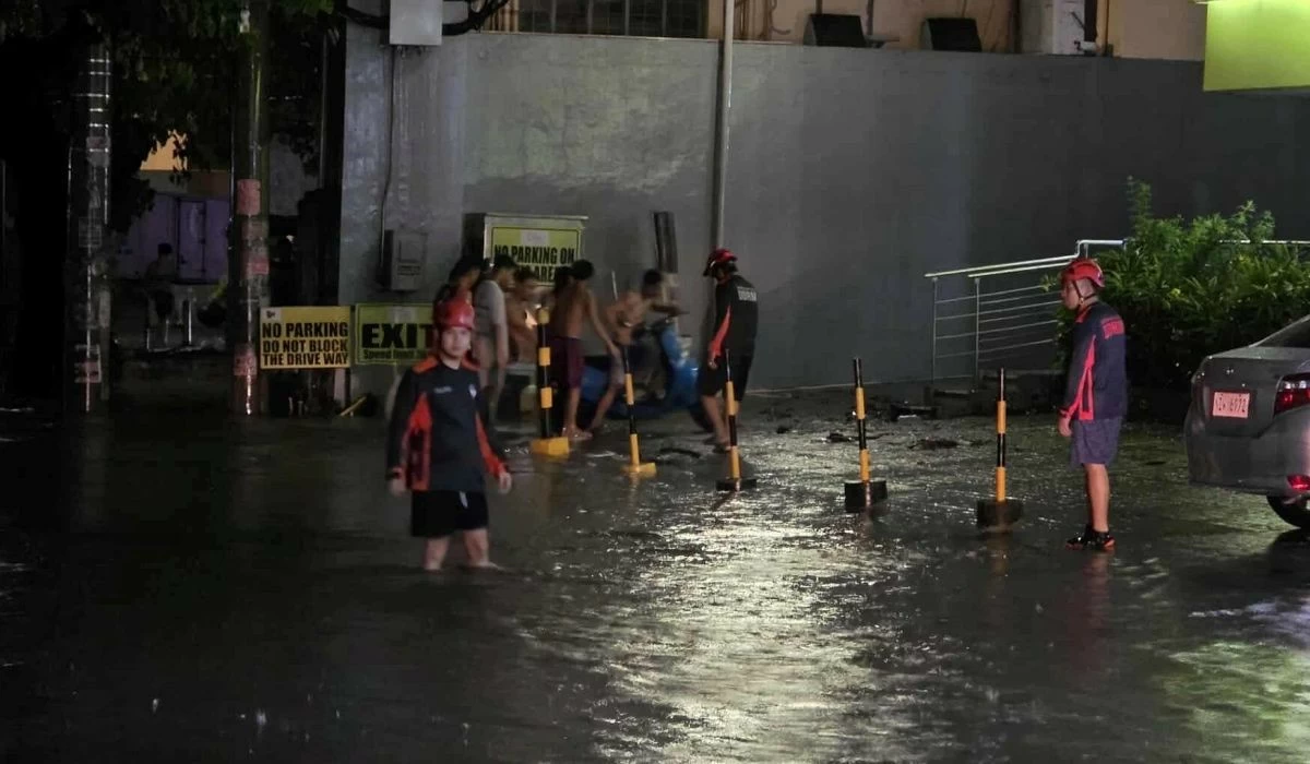
Flash food in Muntinlupa on July 8 (Photo from the Muntinlupa City government)
The Muntinlupa City government has identified 44 areas in eight of the nine barangays that are prone to flooding.
The list was issued by the Muntinlupa City Department of Disaster Resilience and Management (MCDDRM) on July 19 as rains continued due to the southwest monsoon .
The MCDDRM advised people to avoid passing through or stopping in flood-prone areas during heavy rains and evacuate immediately if necessary.
According to the MCDDRM, the flood-prone areas in Muntinlupa are:
Barangay Sucat
• Purok 6 Circle Site
• Purok 6 Aplaya
• Purok 5 Aplaya
• Purok 2 Aplaya
• Bagong Silang
• Purok 1
Barangay Buli
• Aplaya 1
• Aplaya 2
• Manatra Creeksite
• On-site Purok 4
Barangay Cupang
• Lovely Compound Purok 4
• West 1 Compound West Service Road
Barangay Alabang
• 7-B Ilaya
• 7-A Ilaya
• Sitio Anahaw
• Sitio San Roques Wawa
• Davao Compound Wawa
Barangay Bayanan
• Purok 6 B5
• Purok 1 B2
• Purok 1 B10
• Miranda Compound Dulo
• Arevalo Compound Dulo
• Summit Circle Compound
Barangay Putatan
• Maynilad
• Bruger
• Bliss
• Lakeview II
Barangay Poblacion
• Espelata Pantalan
• Sto. Niño Aplaya
• Amparo Aplaya
• San Guillermo Boundary of Barangay Putatan and Barangay Poblacion
• Rizal Aplaya
• Quezon Aplaya
• SV3 Bridge
• Camella 4
• Biazon Road
Barangay Tunasan
• Levis Compound
• Midland
• Unity Compound
• Sports Complex
• National Road Pepsi
• National Road Boundary Bridge
• Bubugan (near ESC)
• Laguerta Bridge