


Manila Bulletin
 Philippines
National
'Crising' may intensify into a tropical storm before making landfall in Cagayan, says PAGASA
Philippines
National
'Crising' may intensify into a tropical storm before making landfall in Cagayan, says PAGASA
Philippines
National
'Crising' may intensify into a tropical storm before making landfall in Cagayan, says PAGASA
'Crising' may intensify into a tropical storm before making landfall in Cagayan, says PAGASA
By Jel Santos
Published Jul 17, 2025 06:17 pm


(PHOTO: PHIVOLCS-DOST FACEBOOK PAGE)
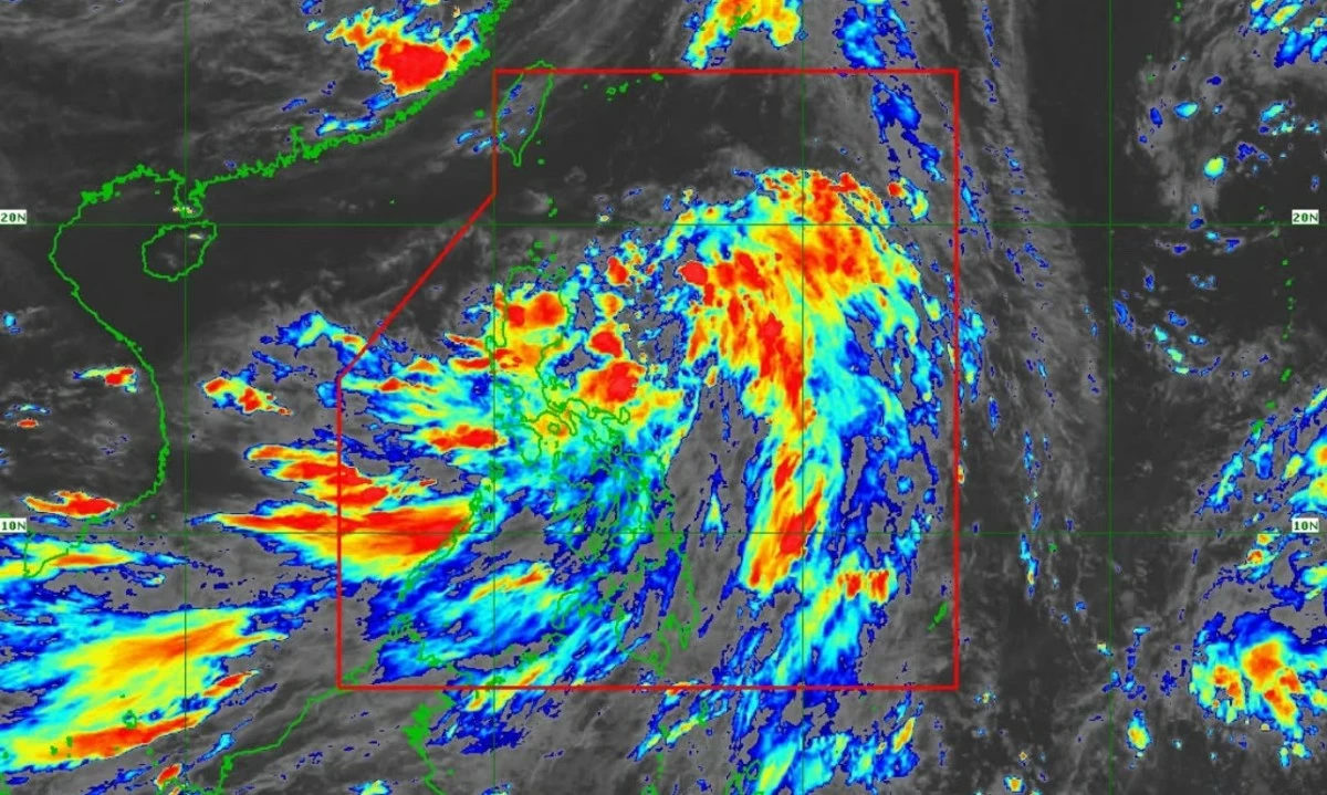
Tropical Depression “Crising” may strengthen into a tropical storm before making landfall in mainland Cagayan on Friday evening, July 18, state weather bureau Philippine Atmospheric, Geophysical and Astronomical Services Administration (PAGASA) warned.
In its 5 p.m. bulletin on Thursday, July 17, PAGASA reported that Crising was “meandering” over the sea east of Aurora while maintaining its strength, packing maximum sustained winds of 55 kilometers per hour (kph) and gusts of up to 70 kph.
“Crising is forecast to reach Tropical Storm category tonight or tomorrow early morning. It will continue to intensify until it reaches Severe Tropical Storm category by Saturday morning or afternoon,” the agency said.
PAGASA said Crising was last located 545 km east of Baler, Aurora or 335 km northeast of Virac, Catanduanes, moving west northwest at 30 kph.
The state weather bureau said landfall over mainland Cagayan by Friday evening, July 18 is possible, after which the cyclone will traverse the northern portion of Northern Luzon and exit the Philippine Area of Responsibility (PAR) by Saturday, July 19.
Tropical Cyclone Wind Signal No. 1 was raised over more than 30 areas in Luzon, including Batanes, Cagayan, Isabela, Ilocos provinces, Aurora, and portions of the Cordillera region and Bicol.
“Minimal to minor impacts from strong winds are possible within any of the areas under Wind Signal No. 1,” the agency said.
Coastal communities in Cagayan, Isabela, and Ilocos Norte were also warned of storm surges up to 2 meters high in the next 48 hours.
Monsoon-enhanced rains to persist
According to PAGASA, Crising and the enhanced southwest monsoon are expected to bring heavy rains across large parts of Luzon, Visayas, and Mindanao from July 17 to 20.
From Thursday to Friday afternoon (July 18), more than 200 mm of rain is expected in Cagayan, Isabela, and Catanduanes. Rainfall totals of 100–200 mm may fall in Apayao, Kalinga, Quirino, Aurora, Quezon, Camarines Norte, and Camarines Sur, while 50–100 mm is forecast over Ilocos Region, Abra, Cordillera, Bicol, and parts of Eastern Visayas.
From Friday afternoon to Saturday afternoon, July 19, Apayao and Ilocos Norte may again receive over 200 mm of rain, while Batanes, Cagayan, Kalinga, and several other provinces may get 100–200 mm.
On Saturday to Sunday (July 20), rains may persist in Ilocos Norte and Ilocos Sur, with up to 100 mm expected.
As such, the state weather bureau warned that the southwest monsoon will enhance rainfall over Palawan, Mindoro, Western Visayas, Metro Manila, and parts of Mindanao.
From Thursday to Friday, 100–200 mm of rain is forecast in Palawan, Occidental Mindoro, Iloilo, Guimaras, Antique, and Negros Occidental. Lighter but still significant rains (50–100 mm) may fall in Metro Manila, CALABARZON, Central Luzon, Visayas, and parts of Mindanao.
Rainfall totals of 100–200 mm will continue over Zambales, Bataan, Cavite, Batangas, and Occidental Mindoro through Saturday, with further rains expected in Metro Manila and nearby provinces until Sunday.
The agency advised that rainfall may be higher in mountainous areas and warned that previous rainfall could worsen impacts such as flash floods or landslides.