


Manila Bulletin
 Philippines
National
Disaster officials conduct damage assessment after M6.1 temblor off Davao Occidental's coast
Philippines
National
Disaster officials conduct damage assessment after M6.1 temblor off Davao Occidental's coast
Philippines
National
Disaster officials conduct damage assessment after M6.1 temblor off Davao Occidental's coast
Disaster officials conduct damage assessment after M6.1 temblor off Davao Occidental's coast
Published Jun 28, 2025 04:42 pm


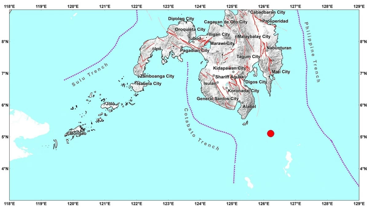
A magnitude 6.1 earthquake strikes off the coast of Sarangani, Davao Occidental on June 28, 2025. It is located 85 kilometers southeast of Sarangani. (Photo: Philippine Institute of Volcanology and Seismology)
Local disaster authorities carried out damage assessment after a magnitude 6.1 earthquake struck off the coast of Sarangani, Davao Occidental on Saturday morning, June 28.
Mr. Harley Sauro, municipal disaster risk reduction and management office (MDRRMO) designate in Sarangani, said the quake was strongly felt by residents although no damage was reported based on their initial assessment.
The quake occurred at 7:07 a.m. and its epicenter was located 85 kilometers southeast of Sarangani town.
“Medyo may kalakasan po nasa Intensity 5 ang naramdaman sa isla pero so far no damage reported naman po. Okay lang po ang isla (It was quite strong with Intensity 5 felt on the island, but so far no damage has been reported. The island is doing fine),” he said in a radio interview over dzBB.
The damage assessment focused on school buildings, road infrastructure, and public government facilities.
Assessment of residential areas in the 12 barangays in Sarangani also yielded negative damage.
Sauro reminded residents to remain vigilant and prepare for potential aftershocks.
“7:07 [a.m.] nang tumama then 7:43 [a.m.] mayroong aftershocks pero slightly felt na lang (The quake struck at 7:07 [a.m.], then at 7:43 [a.m.] there was an aftershock, but it was only slightly felt,” he said.
Sauro said evacuation sites were prepared in case of a pre-emptive evacuation. So far, he said there has been no order from the local government to evacuate the residents.
“Mayroon naman pong nakapreposition na relief goods if may nakalikas, may ibibgay na immediate response (Relief goods have already been prepositioned, so if there are evacuees, immediate assistance can be provided),” he shared.