


Tropical depression “Auring” has exited the Philippine Area of Responsibility (PAR) and weakened into a Low-Pressure Area (LPA) early morning on Friday, June 13, said the Philippine Atmospheric, Geophysical and Astronomical Services Administration (PAGASA).
Tropical depression Auring exits PAR, weakens into LPA
Published Jun 13, 2025 10:10 am


PAGASA
PAGASA weather specialist Benison Estareja explained that Auring weakened into an LPA around 2 a.m. due to frictional effects after making landfall in Taiwan.
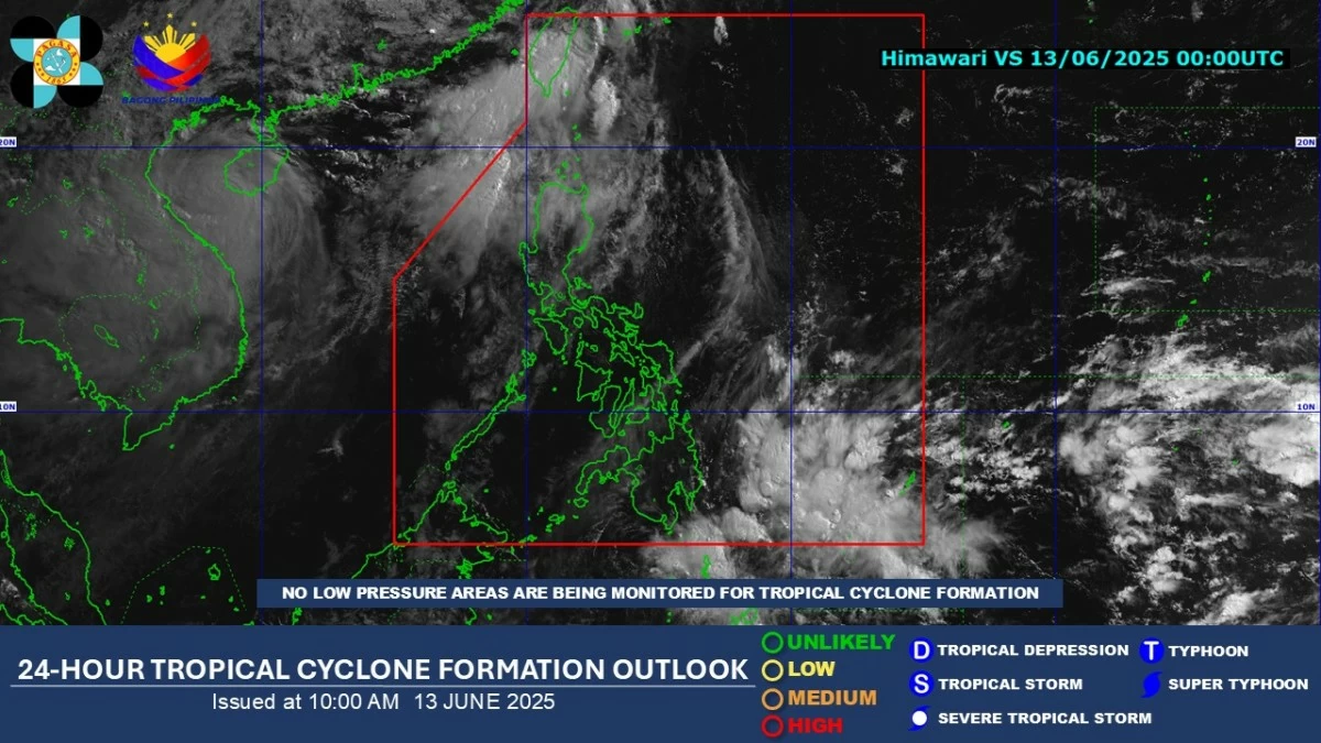
The LPA was last located 580 kilometers north-northwest of Itbayat, Batanes as of 4 a.m.
Estareja said the trough or extension of the LPA may continue to bring cloudy skies with scattered rain showers and thunderstorms over Batanes in the next 24 hours.
Meanwhile, the southwest monsoon (habagat) may bring similar weather conditions over Ilocos Region and Babuyan Islands.
Estareja noted that the effects of the habagat have temporarily weakened, with easterlies, or warm winds from the Pacific Ocean, already affecting Surigao del Sur and Davao Oriental.
The rest of the country may experience partly cloudy to cloudy skies with isolated rain showers or thunderstorms due to the easterlies.
From Saturday to Sunday, June 14 to 15, Estareja said rain showers and thunderstorms may become more frequent over some areas in Visayas and Mindanao due to the Intertropical Convergence Zone (ITCZ), a weather system formed by the merging of winds from the northern and southern hemispheres.
Between Monday and Tuesday, June 16 to 17, the effects of the ITCZ may shift towards portions of the Visayas, Bicol, and Mimaropa.
Estareja advised the public to expect rainy weather in some areas at the start of the school year and to bring umbrellas and raincoats when going out.